Estimated Value: $251,000 - $301,000
3
Beds
2
Baths
1,688
Sq Ft
$160/Sq Ft
Est. Value
About This Home
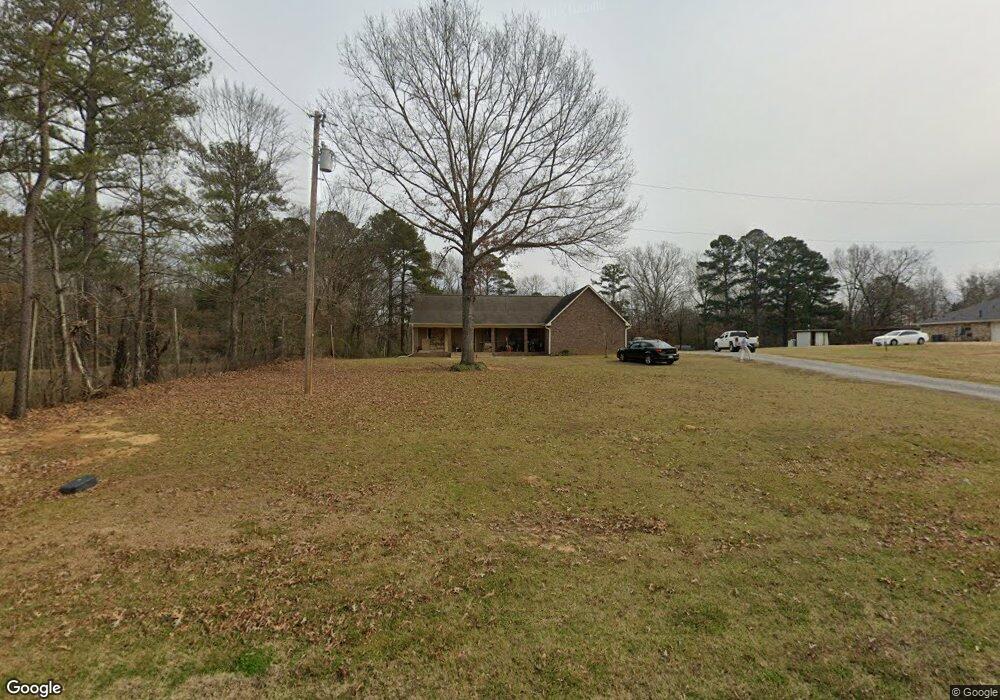
This home is located at 4484 Henderson Rd, Byram, MS 39272 and is currently estimated at $269,873, approximately $159 per square foot. 4484 Henderson Rd is a home located in Hinds County with nearby schools including Gary Road Elementary School, Gary Road Intermediate School, and Byram Middle School.
Ownership History
Date
Name
Owned For
Owner Type
Purchase Details
Closed on
May 20, 2016
Bought by
Christy Kenneth and Christy Lynn
Current Estimated Value
Home Financials for this Owner
Home Financials are based on the most recent Mortgage that was taken out on this home.
Original Mortgage
$177,000
Outstanding Balance
$140,536
Interest Rate
3.58%
Estimated Equity
$129,337
Create a Home Valuation Report for This Property
The Home Valuation Report is an in-depth analysis detailing your home's value as well as a comparison with similar homes in the area
Home Values in the Area
Average Home Value in this Area
Purchase History
| Date | Buyer | Sale Price | Title Company |
|---|---|---|---|
| Christy Kenneth | -- | -- |
Source: Public Records
Mortgage History
| Date | Status | Borrower | Loan Amount |
|---|---|---|---|
| Open | Christy Kenneth | $177,000 | |
| Closed | Christy Kenneth | -- |
Source: Public Records
Tax History Compared to Growth
Tax History
| Year | Tax Paid | Tax Assessment Tax Assessment Total Assessment is a certain percentage of the fair market value that is determined by local assessors to be the total taxable value of land and additions on the property. | Land | Improvement |
|---|---|---|---|---|
| 2024 | $1,737 | $13,023 | $2,000 | $11,023 |
| 2023 | $1,737 | $13,023 | $2,000 | $11,023 |
| 2022 | $2,003 | $13,023 | $2,000 | $11,023 |
| 2021 | $1,677 | $13,023 | $2,000 | $11,023 |
| 2020 | $1,622 | $12,825 | $2,000 | $10,825 |
| 2019 | $1,612 | $12,825 | $2,000 | $10,825 |
| 2018 | $1,612 | $12,825 | $2,000 | $10,825 |
| 2017 | $1,577 | $12,825 | $2,000 | $10,825 |
| 2016 | $1,577 | $12,825 | $2,000 | $10,825 |
| 2015 | $1,559 | $12,699 | $2,000 | $10,699 |
| 2014 | $1,532 | $12,699 | $2,000 | $10,699 |
Source: Public Records
Map
Nearby Homes
- Cairn Plan at Barrington
- Booth Plan at Barrington
- Alston Plan at Barrington
- 229 Raulston Dr
- 220 Raulston Dr
- 248 Raulston Dr
- 252 Raulston Dr
- 256 Raulston Dr
- 260 Raulston Dr
- 224 Raulston Dr
- 0 Henderson Rd Unit 4126215
- 724 Forest Woods Dr
- 737 Forest Woods Dr Unit 48
- 316 Southhaven Dr
- 108 Forest Lake Dr
- 702 Meadow View Cove
- 4954 Brookwood Place
- 73 Dianne Cove
- 807 Meadow Way Cove
- 273 W Lake Dockery Dr
- 4488 Henderson Rd
- 4492 Henderson Rd
- 5006 Kay Brook Dr
- 120 Raulston Dr
- 116 Raulston Dr
- 2 Kaybrook Dr Unit 2
- 2 Kaybrook Dr
- 100 Gun Hill Cove
- 124 Raulston Dr
- 5010 Kay Brook Dr
- 112 Raulston Dr
- 4502 Henderson Rd
- 128 Raulston Dr
- 108 Raulston Dr
- 109 Raulston Dr
- 132 Raulston Dr
- 107 Raulston Dr
- 5014 Kay Brook Dr
- 136 Raulston Dr
- 131 Raulston Dr