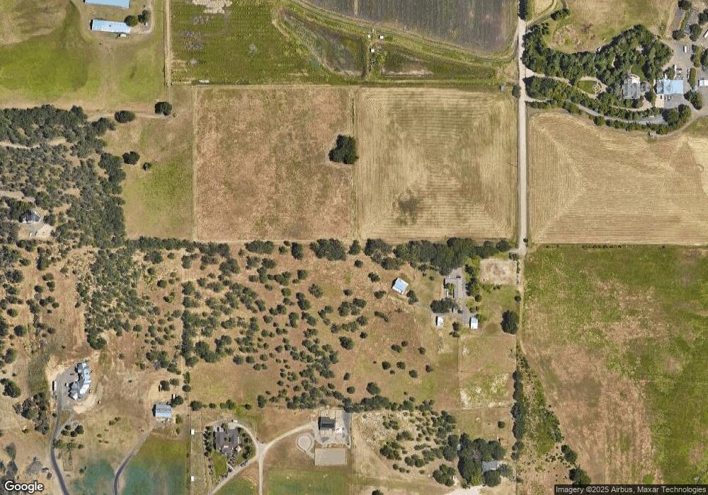
4485 Mcloughlin Dr Central Point, OR 97502
Estimated Value: $649,000 - $923,110
3
Beds
3
Baths
2,315
Sq Ft
$330/Sq Ft
Est. Value
About This Home
This home is located at 4485 Mcloughlin Dr, Central Point, OR 97502 and is currently estimated at $764,037, approximately $330 per square foot. 4485 Mcloughlin Dr is a home located in Jackson County with nearby schools including Abraham Lincoln Elementary School, Hedrick Middle School, and North Medford High School.
Ownership History
Date
Name
Owned For
Owner Type
Purchase Details
Closed on
Aug 14, 2013
Sold by
Coffman Adelia A
Bought by
Mcloughlin Farms Llc
Current Estimated Value
Purchase Details
Closed on
Oct 15, 2012
Sold by
Coffman Adelia A
Bought by
Coffman Adelia A and Adelia A Coffman Trust
Purchase Details
Closed on
Oct 28, 2004
Sold by
Sieck Barbara A
Bought by
Coffman Ron D and Coffman Adelia A
Create a Home Valuation Report for This Property
The Home Valuation Report is an in-depth analysis detailing your home's value as well as a comparison with similar homes in the area
Home Values in the Area
Average Home Value in this Area
Purchase History
| Date | Buyer | Sale Price | Title Company |
|---|---|---|---|
| Mcloughlin Farms Llc | -- | None Available | |
| Coffman Adelia A | -- | None Available | |
| Coffman Ron D | -- | Amerititle |
Source: Public Records
Tax History Compared to Growth
Tax History
| Year | Tax Paid | Tax Assessment Tax Assessment Total Assessment is a certain percentage of the fair market value that is determined by local assessors to be the total taxable value of land and additions on the property. | Land | Improvement |
|---|---|---|---|---|
| 2025 | $2,350 | $189,574 | $21,804 | $167,770 |
| 2024 | $2,350 | $184,173 | $21,283 | $162,890 |
| 2023 | $2,279 | $178,932 | $20,782 | $158,150 |
| 2022 | $2,227 | $178,932 | $20,782 | $158,150 |
| 2021 | $2,118 | $160,720 | $25,490 | $135,230 |
| 2020 | $1,911 | $146,167 | $23,787 | $122,380 |
| 2019 | $2,022 | $155,346 | $22,846 | $132,500 |
| 2018 | $2,131 | $155,928 | $22,498 | $133,430 |
| 2017 | $2,087 | $155,928 | $22,498 | $133,430 |
| 2016 | $1,823 | $136,325 | $20,815 | $115,510 |
| 2015 | $1,825 | $135,075 | $20,735 | $114,340 |
| 2014 | $1,586 | $118,421 | $18,861 | $99,560 |
Source: Public Records
Map
Nearby Homes
- 2477 Coker Butte Rd
- 2872 Coker Butte Rd
- 3670 Luchu St
- 3670 Luchu St Unit 92
- 1816 E Vilas Rd
- 3687 Luchu St Unit 110
- 1731 Luxor Ln
- 3688 Luchu St Unit 93
- 3688 Luchu St
- 4692 Crater Lake Ave Unit 600
- 3738 Springbrook Rd
- 1735 Pearl Eye Ln
- 1629 Husker Butte Ln
- 1802 Dragon Tail Place
- The Middleton Plan at Ponderosa Place
- The Orchard Plan at Ponderosa Place
- The Alderwood Plan at Ponderosa Place
- The Clearwater Plan at Ponderosa Place
- The Hudson Plan at Ponderosa Place
- The Edgewood Plan at Ponderosa Place
- 2265 Coker Butte Rd
- 2700 Mcloughlin Dr
- 4902 Mcloughlin Dr
- 4902 Mcloughlin Dr
- 2255 Coker Butte Rd
- 2157 Coker Butte Rd
- 2314 E Vilas Rd
- TL 1300 Mcloughlin Dr
- 1300 Mcloughlin Dr
- 0 Mcloughlin Dr
- 5551 Mcloughlin Dr
- 2125 Coker Butte Rd
- 2715 Coker Butte Rd
- 00 McLoughlin Dr Dr
- 2176 E Vilas Rd
- 2115 Coker Butte Rd
- 2659 Coker Butte Rd
- 2215 Coker Butte Rd
- 2163 Coker Butte Rd
- 1648 Coker Butte Rd
