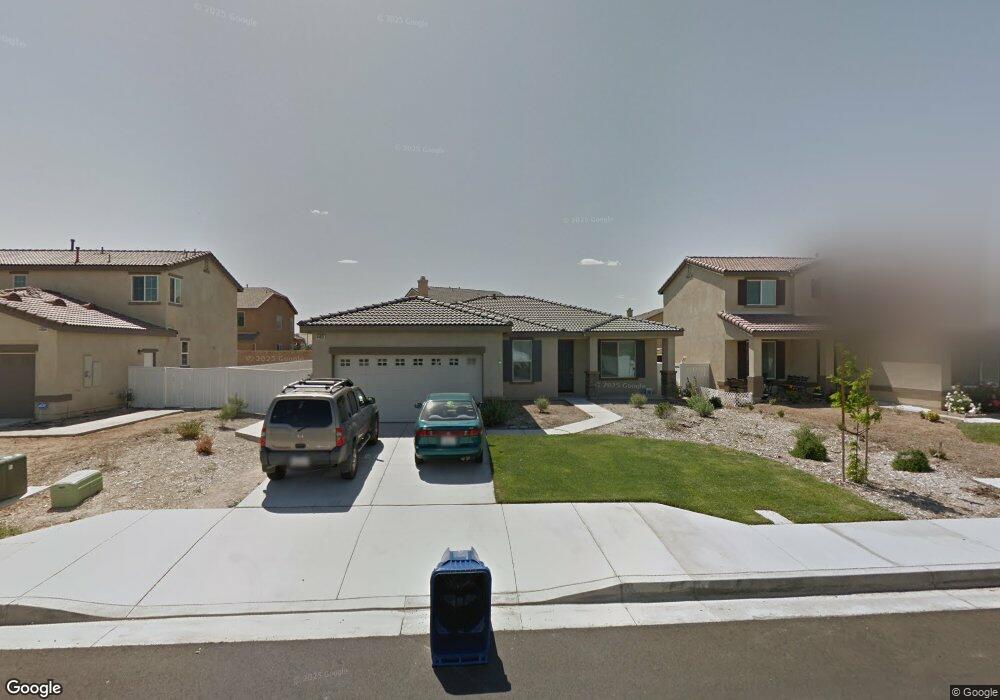
44851 Dusty Rd Lancaster, CA 93536
West Lancaster NeighborhoodEstimated Value: $485,000 - $530,000
3
Beds
2
Baths
1,766
Sq Ft
$284/Sq Ft
Est. Value
About This Home
This home is located at 44851 Dusty Rd, Lancaster, CA 93536 and is currently estimated at $501,549, approximately $284 per square foot. 44851 Dusty Rd is a home located in Los Angeles County with nearby schools including Monte Vista Elementary School, Amargosa Creek Middle School, and Lancaster High School.
Ownership History
Date
Name
Owned For
Owner Type
Purchase Details
Closed on
Nov 22, 2010
Sold by
Beazer Homes Holdings Corp
Bought by
Duncan David
Current Estimated Value
Home Financials for this Owner
Home Financials are based on the most recent Mortgage that was taken out on this home.
Original Mortgage
$231,050
Outstanding Balance
$151,665
Interest Rate
4.17%
Mortgage Type
VA
Estimated Equity
$349,884
Create a Home Valuation Report for This Property
The Home Valuation Report is an in-depth analysis detailing your home's value as well as a comparison with similar homes in the area
Home Values in the Area
Average Home Value in this Area
Purchase History
| Date | Buyer | Sale Price | Title Company |
|---|---|---|---|
| Duncan David | $224,000 | Fidelity National Title Co |
Source: Public Records
Mortgage History
| Date | Status | Borrower | Loan Amount |
|---|---|---|---|
| Open | Duncan David | $231,050 |
Source: Public Records
Tax History
| Year | Tax Paid | Tax Assessment Tax Assessment Total Assessment is a certain percentage of the fair market value that is determined by local assessors to be the total taxable value of land and additions on the property. | Land | Improvement |
|---|---|---|---|---|
| 2025 | $4,902 | $286,559 | $71,637 | $214,922 |
| 2024 | $4,902 | $280,941 | $70,233 | $210,708 |
| 2023 | $4,797 | $275,433 | $68,856 | $206,577 |
| 2022 | $4,674 | $270,033 | $67,506 | $202,527 |
| 2021 | $4,255 | $264,739 | $66,183 | $198,556 |
| 2019 | $4,129 | $256,889 | $64,221 | $192,668 |
| 2018 | $4,052 | $251,853 | $62,962 | $188,891 |
| 2016 | $3,672 | $242,075 | $60,518 | $181,557 |
| 2015 | $3,625 | $238,439 | $59,609 | $178,830 |
| 2014 | $3,591 | $233,769 | $58,442 | $175,327 |
Source: Public Records
Map
Nearby Homes
- 3120 Albret St
- 44714 Painted Desert Ct
- 44638 Painted Desert St
- 3032 W Milling St
- 44620 Painted Desert St
- 44731 Ravencrest Ln
- 50 W Lancaster Blvd
- 65 W Lancaster Blvd
- 8000 W Lancaster Blvd
- 2845 W Milling St
- 0 30th St W
- 2822 W Lumber St
- 44762 Shadowcrest Dr
- 2634 Minford St
- 44519 Shadowcrest Dr
- 0 S W Corner W Ave J & 32nd St W Unit 25004110
- 0 W Newgrove St
- 0 W 50th Street West and Lumber St
- 3630 Pillsbury St
- 2814 Caruso Ln
- 44857 Dusty Rd
- 44845 Dusty Rd
- 3143 Legacy Way
- 44842 Ruthron St
- 44842 Ruthron Ave
- 44903 Dusty Rd
- 44839 Dusty Rd
- 3142 W Kildare St
- 3147 Legacy Way
- 44856 Dusty Rd
- 44836 Ruthron St
- 44909 Dusty Rd
- 44844 Dusty Rd
- 3146 W Kildare St
- 44902 Dusty Rd
- 44831 Dusty Rd
- 3140 W Kildare St
- 44838 Dusty Rd
- 44908 Dusty Rd
- 44828 Ruthron St
Your Personal Tour Guide
Ask me questions while you tour the home.