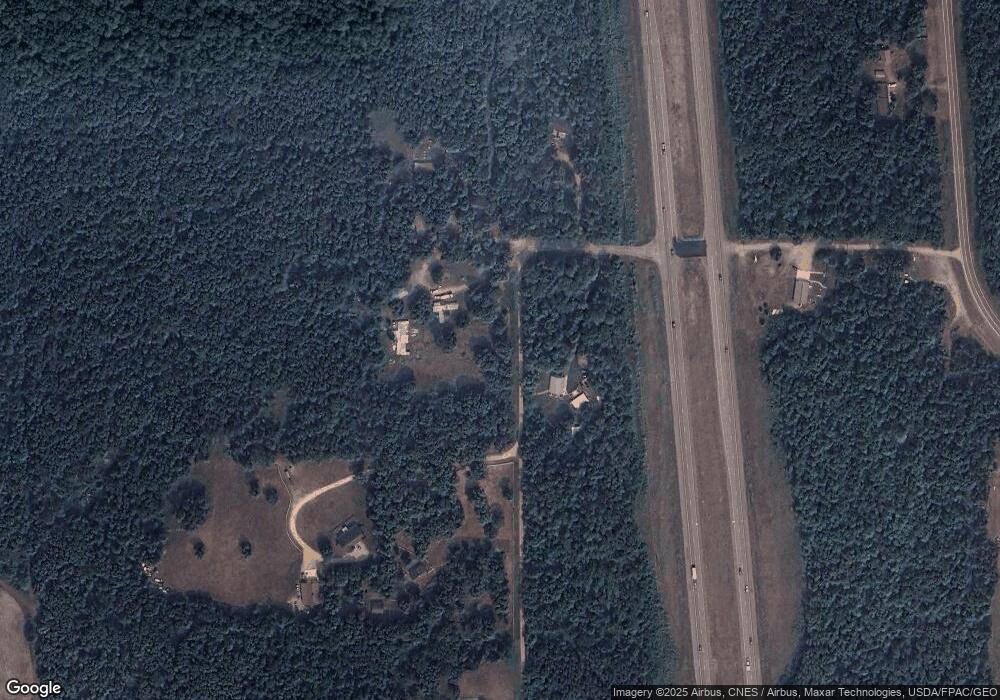
44859 Morrison Line Rd Motley, MN 56466
Estimated Value: $456,000 - $532,207
--
Bed
--
Bath
1,780
Sq Ft
$274/Sq Ft
Est. Value
About This Home
This home is located at 44859 Morrison Line Rd, Motley, MN 56466 and is currently estimated at $488,402, approximately $274 per square foot. 44859 Morrison Line Rd is a home with nearby schools including Staples Motley Senior High School.
Ownership History
Date
Name
Owned For
Owner Type
Purchase Details
Closed on
Oct 3, 2016
Sold by
Bendson Mark L and Bendson Susan K
Bought by
Johnson Nicholas S
Current Estimated Value
Home Financials for this Owner
Home Financials are based on the most recent Mortgage that was taken out on this home.
Original Mortgage
$228,000
Outstanding Balance
$182,611
Interest Rate
3.43%
Mortgage Type
New Conventional
Estimated Equity
$305,791
Create a Home Valuation Report for This Property
The Home Valuation Report is an in-depth analysis detailing your home's value as well as a comparison with similar homes in the area
Home Values in the Area
Average Home Value in this Area
Purchase History
| Date | Buyer | Sale Price | Title Company |
|---|---|---|---|
| Johnson Nicholas S | -- | Elite Title |
Source: Public Records
Mortgage History
| Date | Status | Borrower | Loan Amount |
|---|---|---|---|
| Open | Johnson Nicholas S | $228,000 |
Source: Public Records
Tax History Compared to Growth
Tax History
| Year | Tax Paid | Tax Assessment Tax Assessment Total Assessment is a certain percentage of the fair market value that is determined by local assessors to be the total taxable value of land and additions on the property. | Land | Improvement |
|---|---|---|---|---|
| 2025 | $4,426 | $480,600 | $86,000 | $394,600 |
| 2024 | $4,560 | $479,400 | $82,400 | $397,000 |
| 2023 | $4,588 | $464,300 | $77,000 | $387,300 |
| 2022 | $4,614 | $422,300 | $65,600 | $356,700 |
| 2021 | $3,210 | $359,700 | $64,400 | $295,300 |
| 2020 | $2,512 | $304,300 | $51,800 | $252,500 |
| 2019 | $2,768 | $238,700 | $51,800 | $186,900 |
| 2018 | $2,392 | $246,100 | $41,600 | $204,500 |
| 2017 | $2,308 | $211,500 | $43,600 | $167,900 |
| 2016 | $2,290 | $206,800 | $43,600 | $163,200 |
| 2015 | $2,136 | $0 | $0 | $0 |
| 2014 | -- | $0 | $0 | $0 |
Source: Public Records
Map
Nearby Homes
- XXX Aztec Rd
- 34497 Quiken Rd
- 33395 464th St
- 1786 W Shamineau Dr
- L5 B1 Ridge Rd
- L3 B2 Ridge Rd
- 33033 Rolling Oaks Ln
- 3176 Pine View Blvd
- TBD White Pine Ln
- 33087 Elm Ln
- 716 Cedar Ln
- TBD Azalea Rd
- 33916 Twin Oaks Loop
- 2147 Summit Dr
- 32619 40th Ave
- 12639 65th Ave SW
- 3287 Bluebird Rd
- 30883 Fish Trap Lake Dr
- 31604 Lowry Cir
- 30487 Birch Acres Rd
- Lot 9 10th Ave
- Lot 10 10th Ave
- 973 360th St
- 44753 Morrison Line Rd
- 49363 10th Ave
- 1027 360th St
- 1024 360th St
- 1026 360th St
- 1091 360th St
- 1022 360th St
- 35913 Aztec Rd
- 42991 335th Ave
- 36003 Aztec Rd
- 36145 Aztec Rd
- 35904 Aztec Rd
- 36236 Aztec Rd
- 35876 Aztec Rd
- 35792 Aztec Rd
- 35268 Highway 10
- 36521 Highway 10
