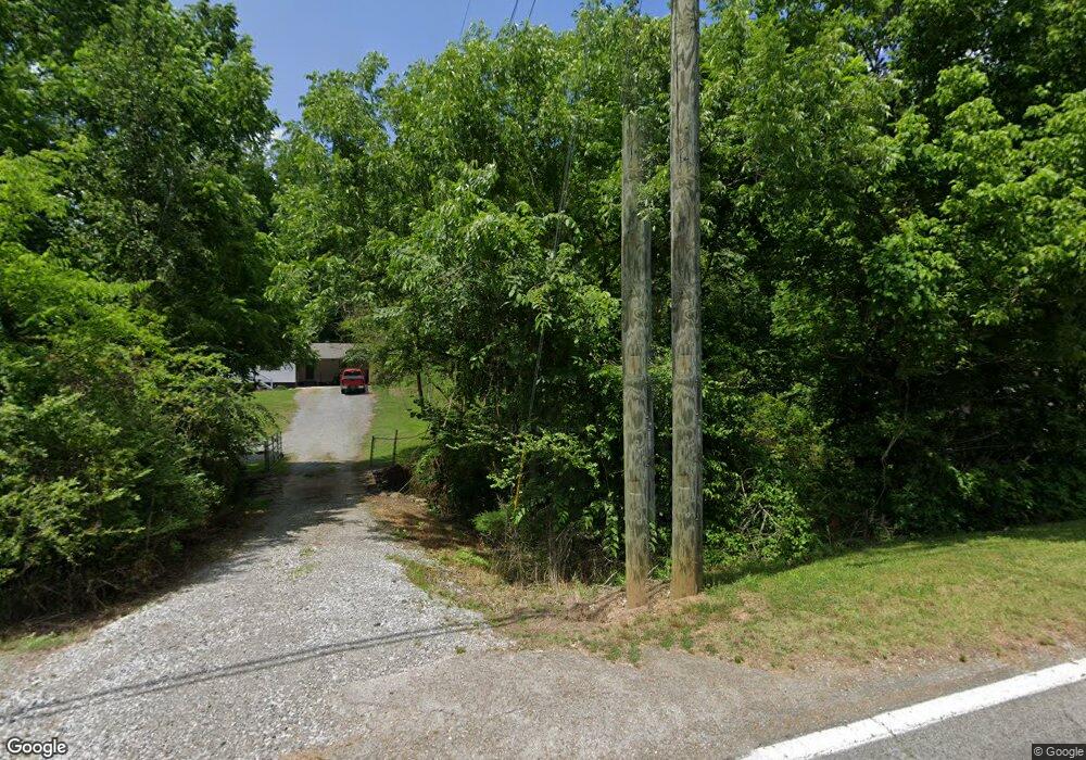
4489 Highway 134 Whiteside, TN 37396
Estimated Value: $136,031 - $241,000
--
Bed
--
Bath
1,450
Sq Ft
$142/Sq Ft
Est. Value
About This Home
This home is located at 4489 Highway 134, Whiteside, TN 37396 and is currently estimated at $205,758, approximately $141 per square foot. 4489 Highway 134 is a home with nearby schools including Jasper Elementary School, South Pittsburg Elementary School, and Monteagle Elementary School.
Ownership History
Date
Name
Owned For
Owner Type
Purchase Details
Closed on
Oct 24, 1996
Sold by
Ralph Keef William
Bought by
Moreland Beans
Current Estimated Value
Home Financials for this Owner
Home Financials are based on the most recent Mortgage that was taken out on this home.
Original Mortgage
$69,156
Outstanding Balance
$6,840
Interest Rate
8.13%
Estimated Equity
$198,918
Purchase Details
Closed on
Aug 27, 1976
Bought by
Keef William Ralph and Keef Sue P
Create a Home Valuation Report for This Property
The Home Valuation Report is an in-depth analysis detailing your home's value as well as a comparison with similar homes in the area
Home Values in the Area
Average Home Value in this Area
Purchase History
| Date | Buyer | Sale Price | Title Company |
|---|---|---|---|
| Moreland Beans | $67,800 | -- | |
| Keef William Ralph | -- | -- |
Source: Public Records
Mortgage History
| Date | Status | Borrower | Loan Amount |
|---|---|---|---|
| Open | Keef William Ralph | $69,156 |
Source: Public Records
Tax History Compared to Growth
Tax History
| Year | Tax Paid | Tax Assessment Tax Assessment Total Assessment is a certain percentage of the fair market value that is determined by local assessors to be the total taxable value of land and additions on the property. | Land | Improvement |
|---|---|---|---|---|
| 2024 | $497 | $28,225 | $2,525 | $25,700 |
| 2023 | $497 | $28,225 | $0 | $0 |
| 2022 | $497 | $28,225 | $2,525 | $25,700 |
| 2021 | $497 | $28,225 | $2,525 | $25,700 |
| 2020 | $428 | $28,225 | $2,525 | $25,700 |
| 2019 | $428 | $19,750 | $2,425 | $17,325 |
| 2018 | $428 | $19,750 | $2,425 | $17,325 |
| 2017 | $428 | $19,750 | $2,425 | $17,325 |
| 2016 | $428 | $19,750 | $0 | $0 |
| 2015 | $476 | $19,750 | $0 | $0 |
| 2014 | $476 | $21,966 | $0 | $0 |
Source: Public Records
Map
Nearby Homes
- 0 Egypt Hollow Rd
- 1975 Highway 134
- 616 Stallings Rd
- 0 Veterans Rd Unit 15134719
- 190 Farm Rd
- 0 Tennessee 134 Unit 1396901
- 1375 Split Rail Way
- 1098 Birds Eye Way
- 3741 Split Rail Way Unit Lot 1124
- 3741 Split Rail Way
- Lot 1205 Big View Rd
- 0 Birds Eye Way 1108 Unit 1515369
- 4545 Split Rail Way Unit Lot 1142
- 4545 Split Rail Way
- 9794 Mullins Cove Rd
- 10350 Mullins Cove Rd
- Lot 1070 Birds Eye Way
- 1060 Birds Eye Way
- 0 Serenity Way Unit RTC2918133
- 0 Serenity Way Unit 1515018
- 4481 Highway 134
- 4481 Highway 134
- 4441 Highway 134
- 4481 Tennessee 134
- 4427 Highway 134
- 4411 Highway 134
- 4405 Highway 134
- 4389 Tennessee 134
- 4399 Highway 134
- 4397 Highway 134
- 4389 Highway 134
- 4633 Highway 134
- 172 Aetna Hill Rd
- 190 Aetna Hill Rd
- 260 Aetna Hill Rd
- 0 Hwy 134 Unit 1204379
- 0 Hwy 134 Unit 1215955
- 0 Hwy 134 Unit 1215954
- 0 Hwy 134 Unit 1189275
- 0 Hwy 134 Unit 1189269