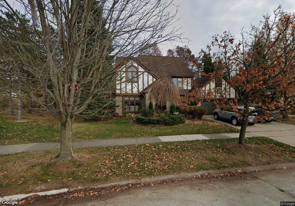
44897 Glengarry Rd Canton, MI 48188
Estimated Value: $507,738 - $586,000
4
Beds
3
Baths
2,440
Sq Ft
$229/Sq Ft
Est. Value
About This Home
This home is located at 44897 Glengarry Rd, Canton, MI 48188 and is currently estimated at $558,185, approximately $228 per square foot. 44897 Glengarry Rd is a home located in Wayne County with nearby schools including Bentley Elementary School, Canton High School, and Plymouth High School.
Ownership History
Date
Name
Owned For
Owner Type
Purchase Details
Closed on
Dec 24, 2010
Sold by
Norman Kristofor Robert and Norman Ingrid
Bought by
Norman Kristofor Robert and Norman Ingrid
Current Estimated Value
Home Financials for this Owner
Home Financials are based on the most recent Mortgage that was taken out on this home.
Original Mortgage
$223,500
Interest Rate
4.44%
Mortgage Type
New Conventional
Create a Home Valuation Report for This Property
The Home Valuation Report is an in-depth analysis detailing your home's value as well as a comparison with similar homes in the area
Home Values in the Area
Average Home Value in this Area
Purchase History
| Date | Buyer | Sale Price | Title Company |
|---|---|---|---|
| Norman Kristofor Robert | -- | Title Direct Llc |
Source: Public Records
Mortgage History
| Date | Status | Borrower | Loan Amount |
|---|---|---|---|
| Closed | Norman Kristofor Robert | $223,500 |
Source: Public Records
Tax History
| Year | Tax Paid | Tax Assessment Tax Assessment Total Assessment is a certain percentage of the fair market value that is determined by local assessors to be the total taxable value of land and additions on the property. | Land | Improvement |
|---|---|---|---|---|
| 2025 | $3,113 | $235,800 | $0 | $0 |
| 2024 | $3,024 | $216,300 | $0 | $0 |
| 2023 | $2,883 | $201,900 | $0 | $0 |
| 2022 | $6,253 | $179,800 | $0 | $0 |
| 2021 | $6,067 | $175,700 | $0 | $0 |
| 2020 | $5,992 | $169,000 | $0 | $0 |
| 2019 | $5,883 | $163,560 | $0 | $0 |
| 2018 | $2,451 | $156,490 | $0 | $0 |
| 2017 | $5,943 | $151,900 | $0 | $0 |
| 2016 | $5,344 | $146,800 | $0 | $0 |
| 2015 | $13,465 | $142,150 | $0 | $0 |
| 2013 | $13,127 | $136,760 | $0 | $0 |
| 2010 | -- | $125,910 | $66,529 | $59,381 |
Source: Public Records
Map
Nearby Homes
- 407 Fairfield Ct
- 45169 Middlebury Ln
- 43935 Marne Ct
- 45246 Gerald Ct
- 290 Edington Cir Unit 62
- 298 Edington Cir Unit 32
- 241 Edington Cir
- 43880 Cherry Grove Ct W
- 321 Cherry Grove Rd
- 610 Cherry Grove Rd
- 43935 Harsdale Dr
- 215 Edington Cir
- 1550 Valentine Ct
- 446 Cherry Stone Dr Unit 54
- 43761 Yorktown St
- 43846 Cherry Grove Ct E
- 802 Cherry Stone Dr
- 43552 Karli Ln
- 43486 Fredericksburg St
- 1632 Bennington Ct Unit 1632
- 44907 Glengarry Rd
- 44919 Glengarry Rd
- 44878 Glengarry Rd
- 44898 Glengarry Rd
- 44878 Glengarry Rd Unit Bldg-Unit
- 44878 Glengarry Rd
- 44918 Glengarry Rd
- 44860 Glengarry Rd
- 44843 Glengarry Rd
- 44935 Glengarry Rd
- 44934 Glengarry Rd
- 44842 Glengarry Rd
- 44823 Glengarry Rd
- 44877 Danbury Rd
- 44859 Danbury Rd
- 44955 Glengarry Rd
- 44954 Glengarry Rd
- 44917 Danbury Rd
- 44822 Glengarry Rd
- 44841 Danbury Rd
Your Personal Tour Guide
Ask me questions while you tour the home.