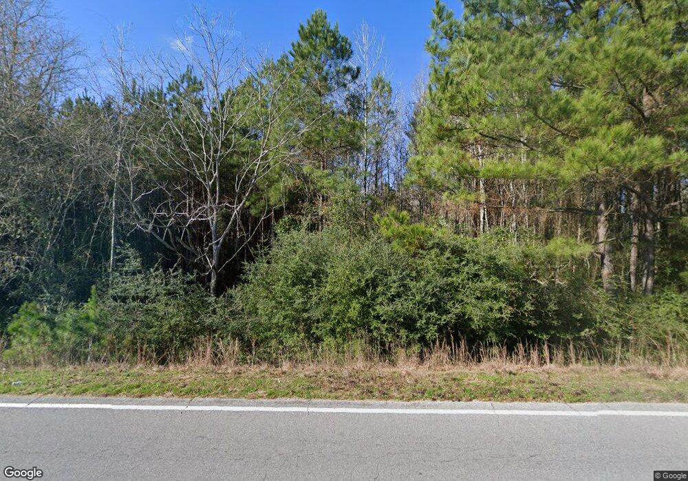
449 Airline Hwy Tylertown, MS 39667
Estimated Value: $117,434 - $155,000
3
Beds
1
Bath
1,357
Sq Ft
$101/Sq Ft
Est. Value
About This Home
This home is located at 449 Airline Hwy, Tylertown, MS 39667 and is currently estimated at $136,478, approximately $100 per square foot. 449 Airline Hwy is a home with nearby schools including Tylertown Primary School, Tylertown Lower Elementary School, and Tylertown High School.
Create a Home Valuation Report for This Property
The Home Valuation Report is an in-depth analysis detailing your home's value as well as a comparison with similar homes in the area
Home Values in the Area
Average Home Value in this Area
Tax History Compared to Growth
Tax History
| Year | Tax Paid | Tax Assessment Tax Assessment Total Assessment is a certain percentage of the fair market value that is determined by local assessors to be the total taxable value of land and additions on the property. | Land | Improvement |
|---|---|---|---|---|
| 2024 | $315 | $3,442 | $0 | $0 |
| 2023 | $315 | $3,452 | $0 | $0 |
| 2022 | $301 | $3,469 | $0 | $0 |
| 2021 | $291 | $3,423 | $0 | $0 |
| 2020 | $292 | $3,442 | $0 | $0 |
| 2019 | $332 | $3,950 | $0 | $0 |
| 2018 | $0 | $3,982 | $0 | $0 |
| 2017 | $0 | $3,825 | $0 | $0 |
| 2016 | -- | $3,755 | $0 | $0 |
| 2015 | -- | $3,677 | $0 | $0 |
| 2014 | -- | $3,611 | $0 | $0 |
| 2013 | -- | $3,512 | $0 | $0 |
Source: Public Records
Map
Nearby Homes
- 516 Airline Hwy
- tbd Louisiana 438
- 32747 Gerald Brown Sr Rd
- 50457 Frank Dillon Rd
- 30381 Par Road 47
- 30163 Red Penton Rd
- 31 Allen Hill Rd
- 0 Dexter Rd
- 0 Johnny Martin Rd Unit BR2025019920
- 50077 Lawrence Creek Rd
- 30182 Karsyn Dr
- 64 Simon Rd
- 29279 Highway 1070
- 29479 Louisiana 1070
- 29433 Par Road 194
- 136 Beaver Dam Rd
- 0 Joby Magee Rd
- 10 acres Par Road 180
- 24 Tom Warner Rd
