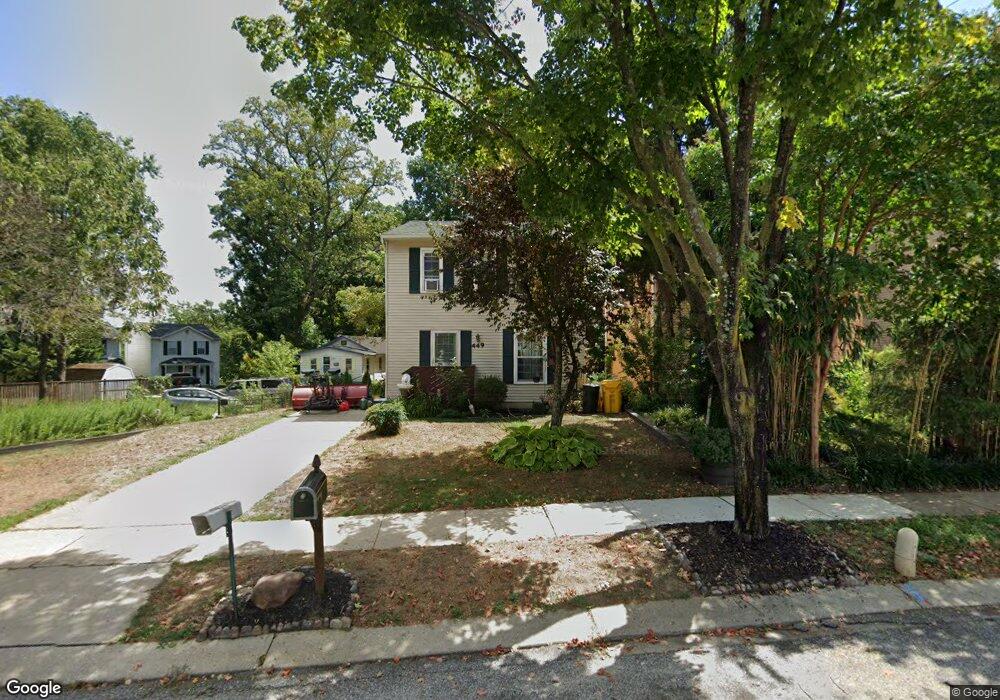
449 Broadwater Rd Arnold, MD 21012
Estimated Value: $398,000 - $545,000
Studio
2
Baths
1,364
Sq Ft
$357/Sq Ft
Est. Value
About This Home
This home is located at 449 Broadwater Rd, Arnold, MD 21012 and is currently estimated at $487,036, approximately $357 per square foot. 449 Broadwater Rd is a home located in Anne Arundel County with nearby schools including Belvedere Elementary School, Severn River Middle School, and Broadneck High School.
Ownership History
Date
Name
Owned For
Owner Type
Purchase Details
Closed on
Jun 25, 1997
Sold by
Sappington Jennifer C
Bought by
Porter Cyril W and Porter Alexis M
Current Estimated Value
Purchase Details
Closed on
Dec 31, 1991
Sold by
Bunker John M
Bought by
Sappington Jennifer C
Home Financials for this Owner
Home Financials are based on the most recent Mortgage that was taken out on this home.
Original Mortgage
$115,944
Interest Rate
8.35%
Purchase Details
Closed on
Apr 29, 1986
Sold by
Country Club Construction Co Inc
Bought by
Bunker John M
Home Financials for this Owner
Home Financials are based on the most recent Mortgage that was taken out on this home.
Original Mortgage
$68,050
Interest Rate
9.86%
Create a Home Valuation Report for This Property
The Home Valuation Report is an in-depth analysis detailing your home's value as well as a comparison with similar homes in the area
Home Values in the Area
Average Home Value in this Area
Purchase History
| Date | Buyer | Sale Price | Title Company |
|---|---|---|---|
| Porter Cyril W | $128,500 | -- | |
| Sappington Jennifer C | $115,000 | -- | |
| Bunker John M | $73,700 | -- |
Source: Public Records
Mortgage History
| Date | Status | Borrower | Loan Amount |
|---|---|---|---|
| Previous Owner | Sappington Jennifer C | $115,944 | |
| Previous Owner | Bunker John M | $68,050 | |
| Closed | Porter Cyril W | -- |
Source: Public Records
Tax History
| Year | Tax Paid | Tax Assessment Tax Assessment Total Assessment is a certain percentage of the fair market value that is determined by local assessors to be the total taxable value of land and additions on the property. | Land | Improvement |
|---|---|---|---|---|
| 2025 | $2,924 | $372,167 | -- | -- |
| 2024 | $2,924 | $358,500 | $222,100 | $136,400 |
| 2023 | $2,829 | $340,333 | $0 | $0 |
| 2022 | $2,634 | $322,167 | $0 | $0 |
| 2020 | $2,492 | $296,500 | $0 | $0 |
| 2019 | $2,451 | $289,000 | $0 | $0 |
| 2018 | $2,854 | $281,500 | $155,300 | $126,200 |
| 2017 | $2,309 | $271,100 | $0 | $0 |
| 2016 | -- | $260,700 | $0 | $0 |
| 2015 | -- | $250,300 | $0 | $0 |
| 2014 | -- | $249,867 | $0 | $0 |
Source: Public Records
Map
Nearby Homes
- 342 Buena Vista Ave
- 404 Alameda Pkwy
- 852 Birchwood Ct
- 889 Lynch Dr
- 813 Mago Vista Rd
- 797 David Dr
- 1159 Greenhill Rd
- 539 Greenblades Ct
- 559 Melissa Ct
- 243 and 245 Haverton Rd
- 276 Overleaf Dr
- 303 Ternwing Dr
- 1078 Brightleaf Ct
- 836 Mill Creek Rd
- 903 Pine Trail
- 394 Kings College Dr
- 201 Mill Ct
- 93 Jones Station Rd
- 370 Magothy Rd
- 360 Magothy Rd Unit 8H
- 447 Broadwater Rd
- 445 Broadwater Rd
- 443 Broadwater Rd
- 461 Broadwater Rd
- 451 Broadwater Rd
- 441 Broadwater Rd
- 456 Broadwater Rd
- 452 Broadwater Rd
- 455 Broadwater Rd
- 453 Broadwater Rd
- 439 Broadwater Rd
- 460 Broadwater Rd
- 897 Doris Dr
- 465 Broadwater Rd
- 437 Broadwater Rd
- 895 Doris Dr
- 435 Broadwater Rd
- 469 Broadwater Rd
- 464 Broadwater Rd
- 893 Doris Dr
Your Personal Tour Guide
Ask me questions while you tour the home.