449 Ledford Rd Dillard, GA 30537
Estimated Value: $820,102 - $1,475,000
4
Beds
5
Baths
4,410
Sq Ft
$235/Sq Ft
Est. Value
About This Home
This home is located at 449 Ledford Rd, Dillard, GA 30537 and is currently estimated at $1,038,526, approximately $235 per square foot. 449 Ledford Rd is a home located in Rabun County with nearby schools including Rabun County Primary School, Rabun County High School, and Rabun Gap Nacoochee School.
Ownership History
Date
Name
Owned For
Owner Type
Purchase Details
Closed on
Oct 12, 2021
Sold by
Shamrock Gregory K Trustees
Bought by
Shamrock Family Trust Llc
Current Estimated Value
Purchase Details
Closed on
Oct 1, 2006
Sold by
Not Provided
Bought by
Shamrock Keith and Shamrock Patricia
Purchase Details
Closed on
Dec 28, 2004
Sold by
Wells Jimmy H
Bought by
Barker Ed and Barker Janet
Purchase Details
Closed on
Dec 1, 2004
Purchase Details
Closed on
Jul 1, 2002
Create a Home Valuation Report for This Property
The Home Valuation Report is an in-depth analysis detailing your home's value as well as a comparison with similar homes in the area
Home Values in the Area
Average Home Value in this Area
Purchase History
| Date | Buyer | Sale Price | Title Company |
|---|---|---|---|
| Shamrock Family Trust Llc | -- | -- | |
| Shamrock Family Trust Llc | -- | -- | |
| Shamrock Keith | $551,000 | -- | |
| Shamrock Keith | $551,000 | -- | |
| Barker Ed | $389,900 | -- | |
| Barker Ed | $389,900 | -- | |
| -- | $389,900 | -- | |
| -- | $389,900 | -- | |
| -- | $37,800 | -- | |
| -- | $37,800 | -- |
Source: Public Records
Tax History Compared to Growth
Tax History
| Year | Tax Paid | Tax Assessment Tax Assessment Total Assessment is a certain percentage of the fair market value that is determined by local assessors to be the total taxable value of land and additions on the property. | Land | Improvement |
|---|---|---|---|---|
| 2024 | $3,740 | $232,992 | $39,000 | $193,992 |
| 2023 | $3,725 | $203,520 | $39,000 | $164,520 |
| 2022 | $3,458 | $188,936 | $30,000 | $158,936 |
| 2021 | $3,239 | $172,744 | $30,000 | $142,744 |
| 2020 | $3,306 | $170,430 | $30,000 | $140,430 |
| 2019 | $3,329 | $170,430 | $30,000 | $140,430 |
| 2018 | $3,341 | $170,430 | $30,000 | $140,430 |
| 2017 | $3,204 | $170,430 | $30,000 | $140,430 |
| 2016 | $3,592 | $190,522 | $30,000 | $160,522 |
| 2015 | $3,302 | $171,466 | $30,000 | $141,466 |
| 2014 | $3,320 | $171,466 | $30,000 | $141,466 |
Source: Public Records
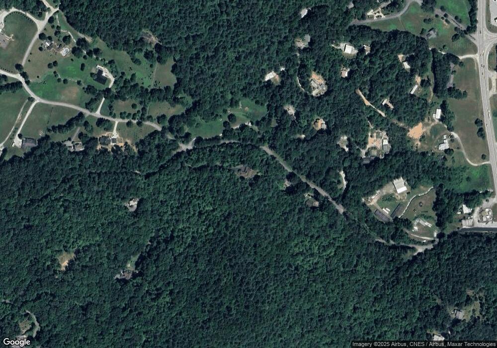
Map
Nearby Homes
- 533 Ledford Rd
- 571 Ledford Rd
- 259 Eagle Chase Cir
- 63 Eagle Chase Cir
- LOT 18 Wynngate Dr
- 0 Ledford Rd Unit 10436918
- 1500 Park Vista Trail
- 0 Sheep Cliff Way Unit 10533863
- 205 Carolina St
- 0 Smokey Hollow Dr Unit LOT 27 10561110
- 208 Colony Rd
- 0 Lamb Rd Unit 10573604
- LOT SM4 Raven Fork Trail
- 0 Taylor Ridge Rd Unit 10583754
- 0 Us-441 S Unit 10226435
- 0 Gateway Forest Dr Unit 35 20117254
- 0 N U S 441 NW Unit 10489249
- 301 Shadow Mountain Dr
- 0 Shadow Mountain Dr Unit 36 20117272
- 0 Shadow Mountain Dr Unit 37 20117265
- LOT 4 Ledford Rd
- 275 Ledford Rd
- 142 Kiera Ln
- 47 Kiera Ln
- 0 Ledford and Wynngate Unit 1 3097408
- 0 Ledford and Wynngate Unit 8 7204662
- 0 Ledford and Wynngate Unit 7 7204657
- 0 Ledford and Wynngate Unit 6 7204651
- 0 Ledford and Wynngate Unit 5 7204647
- 0 Ledford and Wynngate Unit 4 7204643
- 0 Ledford and Wynngate Unit 3 7204640
- 0 Ledford and Wynngate Unit 2 7204633
- 0 Ledford and Wynngate Unit 1 7204624
- 245 Ledford Rd
- 21 Miller Ln
- 17 Wynngate Dr
- 118 Albie Rogers Ln
- 0 Miller Ln
- 000 Ledford Rd
- 26 Miller Ln