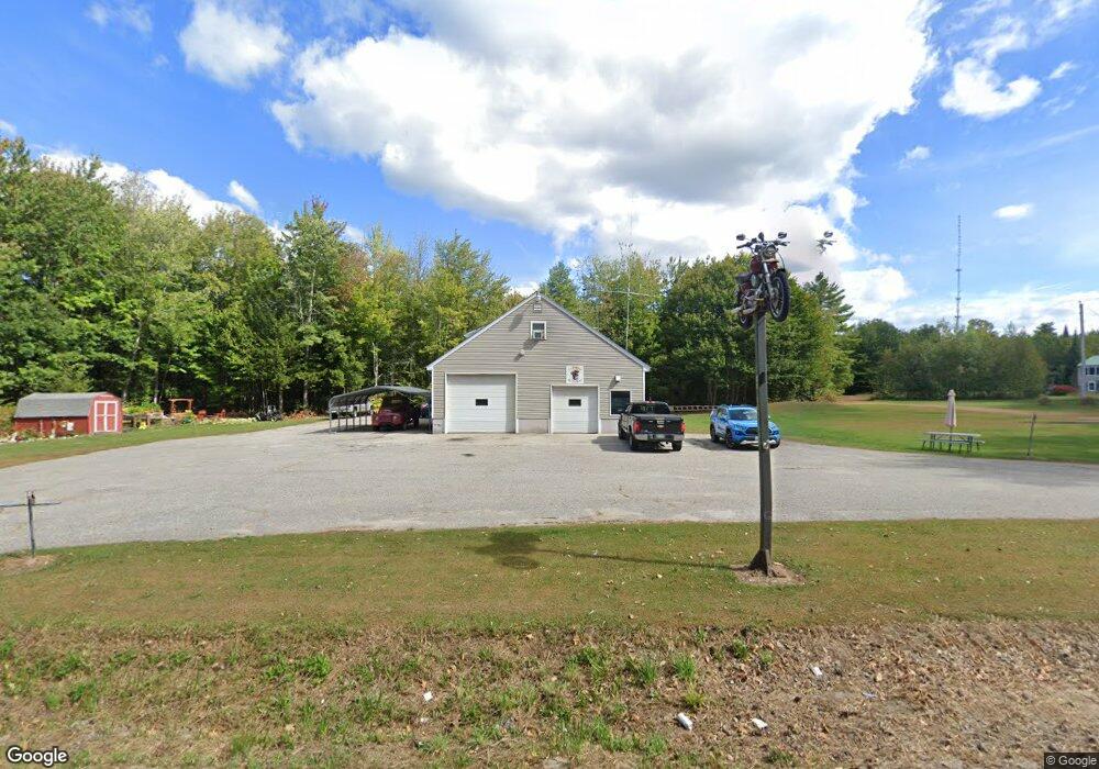
449 Lewiston Rd New Gloucester, ME 04260
Estimated Value: $435,000 - $561,000
6
Beds
4
Baths
1,338
Sq Ft
$372/Sq Ft
Est. Value
About This Home
This home is located at 449 Lewiston Rd, New Gloucester, ME 04260 and is currently estimated at $497,250, approximately $371 per square foot. 449 Lewiston Rd is a home located in Cumberland County with nearby schools including Gray-New Gloucester High School.
Ownership History
Date
Name
Owned For
Owner Type
Purchase Details
Closed on
Feb 18, 2016
Sold by
Rioux Raymonde and Rioux Marc E
Bought by
Rioux Marc E and Rioux Raymonde
Current Estimated Value
Create a Home Valuation Report for This Property
The Home Valuation Report is an in-depth analysis detailing your home's value as well as a comparison with similar homes in the area
Home Values in the Area
Average Home Value in this Area
Purchase History
| Date | Buyer | Sale Price | Title Company |
|---|---|---|---|
| Rioux Marc E | -- | -- |
Source: Public Records
Tax History Compared to Growth
Tax History
| Year | Tax Paid | Tax Assessment Tax Assessment Total Assessment is a certain percentage of the fair market value that is determined by local assessors to be the total taxable value of land and additions on the property. | Land | Improvement |
|---|---|---|---|---|
| 2025 | $6,431 | $415,691 | $116,600 | $299,091 |
| 2024 | $6,190 | $415,691 | $116,600 | $299,091 |
| 2023 | $5,940 | $415,691 | $116,600 | $299,091 |
| 2022 | $5,737 | $415,691 | $116,600 | $299,091 |
| 2021 | $5,737 | $415,691 | $116,600 | $299,091 |
| 2020 | $5,674 | $415,691 | $116,600 | $299,091 |
| 2019 | $5,105 | $302,100 | $65,800 | $236,300 |
| 2018 | $4,457 | $302,100 | $65,800 | $236,300 |
| 2017 | $4,713 | $302,100 | $65,800 | $236,300 |
| 2016 | $1,756 | $303,300 | $65,800 | $237,500 |
| 2015 | $4,443 | $303,300 | $65,800 | $237,500 |
| 2014 | $4,398 | $303,300 | $65,800 | $237,500 |
| 2013 | $4,079 | $303,300 | $65,800 | $237,500 |
Source: Public Records
Map
Nearby Homes
- 155 & 151 Gloucester Hill Rd
- 0018-C Gloucester Hill Rd
- 22 Shaw Rd
- 160 Gloucester Hill Rd
- 271 Bennett Rd
- 29 Rockwood Dr
- TBD Targett Rd
- 10 Cobbs Bridge Rd
- 24 Swamp Rd
- 164 Intervale Rd
- 65 Blueberry Ln
- 200 Woodman Rd
- 14 Golden Way
- 12 Country Charm Ln
- 0 Mayall
- 343 Shaker Rd
- 423 Sabbathday Rd
- 10-56 C&E Bowdoin Way
- 4 Chelsey Ln
- 136 Shaker Rd
- 446 Lewiston Rd
- 463 Lewiston Rd
- 473 Lewiston Rd
- 437 Lewiston Rd
- 430 Lewiston Rd Unit A
- 430 Lewiston Rd
- 479 Lewiston Rd
- 46 Windmill Rd
- 416 Lewiston Rd
- 409 Lewiston Rd
- 38 Windmill Rd
- 30 Windmill Rd
- 30 Windmill Rd
- 45 Windmill Rd
- 24 Windmill Rd
- 27 Marshview Dr
- 37 Windmill Rd
- 29 Windmill Rd
- 12 Windmill Rd
- 83 Bennett Rd