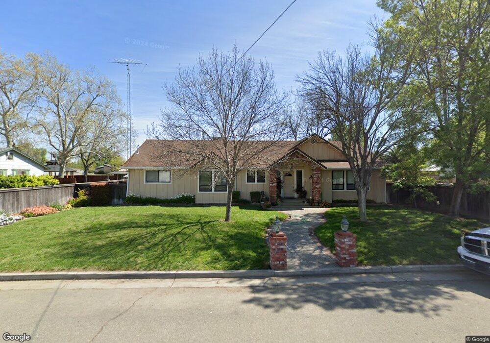
449 Main St Princeton, CA 95970
Estimated Value: $287,000 - $483,000
3
Beds
2
Baths
1,504
Sq Ft
$247/Sq Ft
Est. Value
About This Home
This home is located at 449 Main St, Princeton, CA 95970 and is currently estimated at $371,021, approximately $246 per square foot. 449 Main St is a home with nearby schools including Princeton Elementary School and Princeton Junior/Senior High School.
Ownership History
Date
Name
Owned For
Owner Type
Purchase Details
Closed on
Jan 31, 2013
Sold by
Detuncq Tara
Bought by
Sorrels John L
Current Estimated Value
Home Financials for this Owner
Home Financials are based on the most recent Mortgage that was taken out on this home.
Original Mortgage
$196,581
Outstanding Balance
$135,684
Interest Rate
3.29%
Mortgage Type
FHA
Estimated Equity
$235,337
Purchase Details
Closed on
Dec 27, 2005
Sold by
Mendes Jule Eugene and Mendes Kathy L
Bought by
Mendes Jule Eugene and Mendes Kathleen L
Create a Home Valuation Report for This Property
The Home Valuation Report is an in-depth analysis detailing your home's value as well as a comparison with similar homes in the area
Purchase History
| Date | Buyer | Sale Price | Title Company |
|---|---|---|---|
| Sorrels John L | -- | North State Title Company | |
| Sorrels John L | $210,000 | North State Title Company | |
| Mendes Jule Eugene | -- | -- |
Source: Public Records
Mortgage History
| Date | Status | Borrower | Loan Amount |
|---|---|---|---|
| Open | Sorrels John L | $196,581 | |
| Closed | Sorrels John L | $196,581 |
Source: Public Records
Tax History
| Year | Tax Paid | Tax Assessment Tax Assessment Total Assessment is a certain percentage of the fair market value that is determined by local assessors to be the total taxable value of land and additions on the property. | Land | Improvement |
|---|---|---|---|---|
| 2025 | $2,207 | $215,486 | $30,779 | $184,707 |
| 2024 | $2,207 | $211,262 | $30,176 | $181,086 |
| 2023 | $2,171 | $207,121 | $29,585 | $177,536 |
| 2022 | $2,098 | $203,060 | $29,005 | $174,055 |
| 2021 | $2,072 | $199,080 | $28,437 | $170,643 |
| 2020 | $2,066 | $197,040 | $28,146 | $168,894 |
| 2019 | $2,065 | $193,178 | $27,595 | $165,583 |
| 2018 | $1,975 | $189,391 | $27,054 | $162,337 |
| 2017 | $1,976 | $185,678 | $26,524 | $159,154 |
| 2016 | $1,886 | $182,038 | $26,004 | $156,034 |
| 2015 | $1,862 | $179,305 | $25,614 | $153,691 |
| 2014 | $1,775 | $175,794 | $25,113 | $150,681 |
Source: Public Records
Map
Nearby Homes
- 653 Center St
- 5127 Hwy 45
- County Road Y (Highway
- 319 Piper Ln
- 335 Piper Ln
- 4290 River Rd
- 1731 County Rd Y
- 0 Hatch Rd
- 1762 County Road R
- 0 W Butte Rd
- 00 Old Highway 99w
- TBD County Road 48
- 3488 River Rd
- 0 Pennington Rd Unit 225135351
- 3869 River Rd
- 145 S Sonoma St
- 0 E Oak St
- 266 S Yolo St
- 633 E Walnut St
- 440 E Sycamore St
Your Personal Tour Guide
Ask me questions while you tour the home.