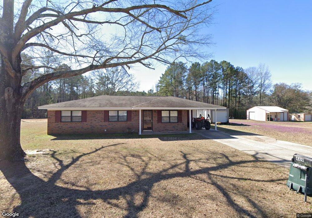
449 Mccully Rd Columbus, MS 39702
Estimated Value: $170,000 - $173,956
2
Beds
2
Baths
1,161
Sq Ft
$148/Sq Ft
Est. Value
About This Home
This home is located at 449 Mccully Rd, Columbus, MS 39702 and is currently estimated at $171,489, approximately $147 per square foot. 449 Mccully Rd is a home located in Lowndes County with nearby schools including Victory Christian Academy, Annunciation Catholic School, and Emmaus Elementary School.
Ownership History
Date
Name
Owned For
Owner Type
Purchase Details
Closed on
Mar 15, 2024
Sold by
Herrick William
Bought by
Clark Ellis
Current Estimated Value
Home Financials for this Owner
Home Financials are based on the most recent Mortgage that was taken out on this home.
Original Mortgage
$153,174
Outstanding Balance
$150,477
Interest Rate
6.63%
Mortgage Type
FHA
Estimated Equity
$21,012
Purchase Details
Closed on
Feb 13, 2023
Sold by
Forman Fran
Bought by
Herrick Willie
Create a Home Valuation Report for This Property
The Home Valuation Report is an in-depth analysis detailing your home's value as well as a comparison with similar homes in the area
Purchase History
| Date | Buyer | Sale Price | Title Company |
|---|---|---|---|
| Clark Ellis | -- | None Listed On Document | |
| Clark Ellis | -- | None Listed On Document | |
| Herrick Willie | -- | -- |
Source: Public Records
Mortgage History
| Date | Status | Borrower | Loan Amount |
|---|---|---|---|
| Open | Clark Ellis | $153,174 | |
| Closed | Clark Ellis | $153,174 |
Source: Public Records
Tax History
| Year | Tax Paid | Tax Assessment Tax Assessment Total Assessment is a certain percentage of the fair market value that is determined by local assessors to be the total taxable value of land and additions on the property. | Land | Improvement |
|---|---|---|---|---|
| 2025 | $472 | $7,894 | $0 | $0 |
| 2024 | $745 | $7,679 | $0 | $0 |
| 2023 | $287 | $5,147 | $0 | $0 |
| 2022 | $288 | $5,147 | $0 | $0 |
| 2021 | $269 | $5,147 | $0 | $0 |
| 2020 | $243 | $5,147 | $0 | $0 |
| 2019 | $256 | $5,165 | $0 | $0 |
| 2018 | $256 | $5,135 | $0 | $0 |
| 2017 | $235 | $5,135 | $0 | $0 |
| 2016 | $235 | $5,135 | $0 | $0 |
| 2015 | $245 | $5,242 | $0 | $0 |
| 2014 | $235 | $5,136 | $0 | $0 |
Source: Public Records
Map
Nearby Homes
- 0 Fiesta Dr
- 142 Lenox Ln
- 159 Lenox Ln
- 29 Lenox Ln
- 0 S Lehmberg Rd
- 220 Woodridge Place
- 2654 Yorkville Rd E
- 127 E Cherry St
- 0 Pierce Rd
- 409 N Lehmberg Rd
- 112 Gaylane Dr
- 17 Paige Cove
- 2746 Phillips Hill Rd
- Lot 3 Lost Lake Hills Rd
- 0 Lost Lake Hills Rd
- 178 Rogers Way
- 405 Springdale Dr
- 111 Florence St
- 164 Sleepy Fawn Park
- 320 Florence St
Your Personal Tour Guide
Ask me questions while you tour the home.