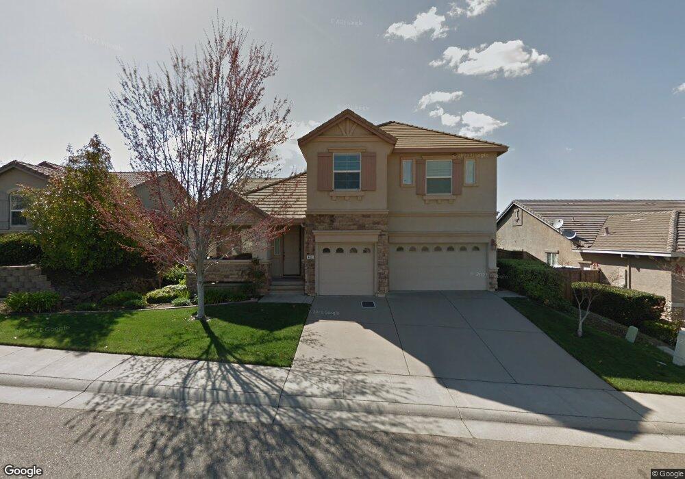
449 Porter Rd Folsom, CA 95630
Empire Ranch Village NeighborhoodEstimated Value: $677,000 - $896,000
4
Beds
3
Baths
2,462
Sq Ft
$337/Sq Ft
Est. Value
About This Home
This home is located at 449 Porter Rd, Folsom, CA 95630 and is currently estimated at $830,860, approximately $337 per square foot. 449 Porter Rd is a home located in Sacramento County with nearby schools including Russell Ranch Elementary School, Folsom Middle School, and Vista Del Lago High School.
Ownership History
Date
Name
Owned For
Owner Type
Purchase Details
Closed on
Oct 21, 2004
Sold by
Elliott Homes Inc
Bought by
Nobis David Matthew and Nobis Emily Allyson
Current Estimated Value
Home Financials for this Owner
Home Financials are based on the most recent Mortgage that was taken out on this home.
Original Mortgage
$333,700
Outstanding Balance
$165,818
Interest Rate
5.82%
Mortgage Type
Purchase Money Mortgage
Estimated Equity
$665,042
Create a Home Valuation Report for This Property
The Home Valuation Report is an in-depth analysis detailing your home's value as well as a comparison with similar homes in the area
Home Values in the Area
Average Home Value in this Area
Purchase History
| Date | Buyer | Sale Price | Title Company |
|---|---|---|---|
| Nobis David Matthew | $425,500 | Stewart Title Of Sacramento |
Source: Public Records
Mortgage History
| Date | Status | Borrower | Loan Amount |
|---|---|---|---|
| Open | Nobis David Matthew | $333,700 |
Source: Public Records
Tax History
| Year | Tax Paid | Tax Assessment Tax Assessment Total Assessment is a certain percentage of the fair market value that is determined by local assessors to be the total taxable value of land and additions on the property. | Land | Improvement |
|---|---|---|---|---|
| 2025 | $8,225 | $639,017 | $139,378 | $499,639 |
| 2024 | $8,225 | $626,489 | $136,646 | $489,843 |
| 2023 | $7,977 | $614,206 | $133,967 | $480,239 |
| 2022 | $7,890 | $602,164 | $131,341 | $470,823 |
| 2021 | $7,814 | $590,358 | $128,766 | $461,592 |
| 2020 | $7,768 | $584,305 | $127,446 | $456,859 |
| 2019 | $7,761 | $572,849 | $124,948 | $447,901 |
| 2018 | $7,604 | $561,618 | $122,499 | $439,119 |
| 2017 | $7,192 | $550,607 | $120,098 | $430,509 |
| 2016 | $7,446 | $539,812 | $117,744 | $422,068 |
| 2015 | $7,038 | $512,756 | $111,844 | $400,912 |
| 2014 | $6,755 | $502,702 | $109,651 | $393,051 |
Source: Public Records
Map
Nearby Homes
- 2195 Palomino Ct
- 2218 Shady Creek Rd
- 1723 Seneca Cir
- 1691 Seneca Cir
- 1659 Seneca Cir
- 1726 Seneca Cir
- 1710 Seneca Cir
- 1750 Seneca Cir
- 1702 Seneca Cir
- 1686 Seneca Cir
- 1678 Seneca Cir
- 1670 Seneca Cir
- 1662 Seneca Cir
- 6850 Saratoga Estates Dr
- 1654 Seneca Cir
- 6890 Saratoga Estates Dr
- 6840 Saratoga Estates Dr
- 6906 Saratoga Estates Dr
- 1638 Seneca Cir
- 1620 Seneca Cir
- 445 Porter Rd
- 453 Porter Rd
- 457 Porter Rd
- 441 Porter Rd
- 452 Porter Rd
- 448 Porter Rd
- 456 Porter Rd
- 444 Porter Rd
- 461 Porter Rd
- 437 Porter Rd
- 440 Porter Rd
- 451 Chaparral Dr
- 455 Chaparral Dr
- 2192 Appaloosa Dr
- 465 Porter Rd
- 433 Porter Rd
- 447 Chaparral Dr
- 2174 Fenceline Dr
- 459 Chaparral Dr
- 2178 Fenceline Dr
Your Personal Tour Guide
Ask me questions while you tour the home.