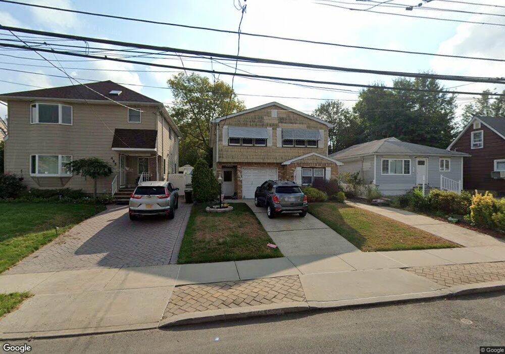
449 Stewart Ave Unit 1 Staten Island, NY 10314
Westerleigh NeighborhoodEstimated Value: $875,775 - $958,000
3
Beds
1
Bath
2,098
Sq Ft
$436/Sq Ft
Est. Value
About This Home
This home is located at 449 Stewart Ave Unit 1, Staten Island, NY 10314 and is currently estimated at $915,694, approximately $436 per square foot. 449 Stewart Ave Unit 1 is a home located in Richmond County with nearby schools including P.S. 30 Westerleigh, I.S. 51 Edwin Markham, and Port Richmond High School.
Ownership History
Date
Name
Owned For
Owner Type
Purchase Details
Closed on
Dec 20, 2022
Sold by
Morales Sally
Bought by
Saadeh Michael A
Current Estimated Value
Home Financials for this Owner
Home Financials are based on the most recent Mortgage that was taken out on this home.
Original Mortgage
$736,415
Outstanding Balance
$714,838
Interest Rate
7.08%
Mortgage Type
FHA
Estimated Equity
$200,856
Purchase Details
Closed on
Nov 5, 2019
Sold by
Stewart John W and Stewart Mark
Bought by
Stewart John W
Purchase Details
Closed on
Aug 3, 2006
Sold by
Stewart Mary Lou
Bought by
Stewart John W and Stewart Mark
Create a Home Valuation Report for This Property
The Home Valuation Report is an in-depth analysis detailing your home's value as well as a comparison with similar homes in the area
Home Values in the Area
Average Home Value in this Area
Purchase History
| Date | Buyer | Sale Price | Title Company |
|---|---|---|---|
| Saadeh Michael A | $750,000 | Old Republic National Title | |
| Stewart John W | $370,000 | Title Insurance Commitment | |
| Stewart John W | -- | None Available |
Source: Public Records
Mortgage History
| Date | Status | Borrower | Loan Amount |
|---|---|---|---|
| Open | Saadeh Michael A | $736,415 |
Source: Public Records
Tax History Compared to Growth
Tax History
| Year | Tax Paid | Tax Assessment Tax Assessment Total Assessment is a certain percentage of the fair market value that is determined by local assessors to be the total taxable value of land and additions on the property. | Land | Improvement |
|---|---|---|---|---|
| 2025 | $7,983 | $51,840 | $12,872 | $38,968 |
| 2024 | $7,983 | $49,320 | $12,764 | $36,556 |
| 2023 | $8,072 | $39,744 | $13,067 | $26,677 |
| 2022 | $7,188 | $44,280 | $15,840 | $28,440 |
| 2021 | $7,831 | $37,260 | $15,840 | $21,420 |
| 2020 | $6,592 | $39,840 | $15,840 | $24,000 |
| 2019 | $5,924 | $41,400 | $15,840 | $25,560 |
| 2018 | $5,773 | $33,120 | $15,075 | $18,045 |
| 2017 | $6,113 | $32,871 | $14,487 | $18,384 |
| 2016 | $5,616 | $31,011 | $14,831 | $16,180 |
| 2015 | $4,751 | $29,256 | $16,612 | $12,644 |
| 2014 | $4,751 | $27,600 | $17,580 | $10,020 |
Source: Public Records
Map
Nearby Homes
- 422 Crystal Ave
- 279 Collfield Ave
- 777-805 Willowbrook Rd
- 360 Caswell Ave
- 182 Woodbine Ave
- 13 Hawthorne Ave
- 251 Cambridge Ave
- 101 Delmore St
- 523 Woolley Ave
- 490 Collfield Ave
- 124 Woodbine Ave
- 423 Willow Rd E
- 181 Collfield Ave
- 592 Woolley Ave
- 469 Willow Rd E Unit 1
- 444- 2 Caswell Ave
- 591 Woolley Ave
- 443 Willow Rd E
- 443 Willow Rd E Unit 1
- 664 S Gannon Ave
- 449 Stewart Ave
- 445 Stewart Ave
- 453 Stewart Ave
- 439 Stewart Ave
- 455 Stewart Ave
- 457 Stewart Ave Unit 1
- 457 Stewart Ave
- 457 Stewart Ave Unit 2
- 342 Bryson Ave
- 348 Bryson Ave
- 338 Bryson Ave
- 435 Stewart Ave
- 461 Stewart Ave Unit 2
- 461 Stewart Ave Unit 1
- 461 Stewart Ave
- 334 Bryson Ave
- 356 Bryson Ave Unit 2
- 356 Bryson Ave
- 433 Stewart Ave
- 358 Bryson Ave