449 Tigola Trail Stoddard, NH 03464
Estimated Value: $333,000 - $363,635
2
Beds
2
Baths
864
Sq Ft
$405/Sq Ft
Est. Value
About This Home
This home is located at 449 Tigola Trail, Stoddard, NH 03464 and is currently estimated at $350,212, approximately $405 per square foot. 449 Tigola Trail is a home with nearby schools including James Faulkner Elementary School, Mayland Early College High School, and Keene High School.
Ownership History
Date
Name
Owned For
Owner Type
Purchase Details
Closed on
Aug 2, 2004
Sold by
Mundy Daryl L and Mundy Susan A
Bought by
Young Kenneth F and Young Jonalyn N
Current Estimated Value
Home Financials for this Owner
Home Financials are based on the most recent Mortgage that was taken out on this home.
Original Mortgage
$14,000
Outstanding Balance
$7,094
Interest Rate
6.33%
Mortgage Type
Purchase Money Mortgage
Estimated Equity
$343,118
Create a Home Valuation Report for This Property
The Home Valuation Report is an in-depth analysis detailing your home's value as well as a comparison with similar homes in the area
Home Values in the Area
Average Home Value in this Area
Purchase History
| Date | Buyer | Sale Price | Title Company |
|---|---|---|---|
| Young Kenneth F | $15,000 | -- | |
| Young Kenneth F | $15,000 | -- |
Source: Public Records
Mortgage History
| Date | Status | Borrower | Loan Amount |
|---|---|---|---|
| Open | Young Kenneth F | $14,000 | |
| Closed | Young Kenneth F | $14,000 |
Source: Public Records
Tax History Compared to Growth
Tax History
| Year | Tax Paid | Tax Assessment Tax Assessment Total Assessment is a certain percentage of the fair market value that is determined by local assessors to be the total taxable value of land and additions on the property. | Land | Improvement |
|---|---|---|---|---|
| 2024 | $3,399 | $289,010 | $90,200 | $198,810 |
| 2023 | $2,984 | $175,710 | $53,120 | $122,590 |
| 2022 | $2,869 | $175,710 | $53,120 | $122,590 |
| 2021 | $2,912 | $175,710 | $53,120 | $122,590 |
| 2020 | $2,883 | $175,710 | $53,120 | $122,590 |
| 2019 | $2,653 | $175,710 | $53,120 | $122,590 |
| 2018 | $2,713 | $149,490 | $45,200 | $104,290 |
| 2016 | $1,921 | $128,130 | $45,200 | $82,930 |
| 2014 | $350 | $22,000 | $22,000 | $0 |
| 2013 | $504 | $32,000 | $32,000 | $0 |
Source: Public Records
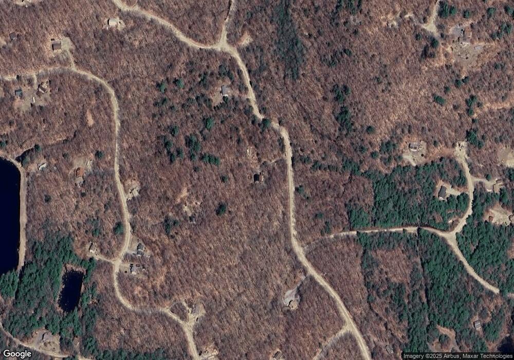
Map
Nearby Homes
- 116 Beaver Lake Dr
- 1016 Shedd Hill Rd
- 906 Shedd Hill Rd
- 00 Kennedy Brook Dr Unit 11
- 00 Scenic Dr Unit 22
- 114 Eva Ln
- 2167 Valley Rd
- 1018 Route 123 N
- 1025 Route 123 N
- 61 Old Antrim Rd
- 321 Route 123 N
- 0 Adams Dr
- 42-11 Route 9
- 286 Presidential Dr
- 335 Coolidge Dr
- 162 Rocky Ledge Rd
- 67 Lang Rd
- 0 N Main St Unit 29
- 6 Mill St
- 0 Washington Pond Rd Unit 113
- 0 Woodlot Unit 317 4669549
- 0 Tiogla Trail
- 495 Tigola Trail
- 135 Fox Hill Rd
- 0 Wood Lot Ln
- 163 Fox Hill Rd
- 373 Tigola Trail
- M111 L24&25 Tigola Trail
- 280 Tigola Trail
- 0 Tigola Trail
- 116 Tigola Trail
- 119-19 Tigola Trail
- 0 Fox Hill Rd
- M111 L30 Fox Hill Rd
- 000 Fox Hill Rd
- M111 L18 Fox Hill Rd
- M111/L30 Fox Hill Rd
- 111-30 Fox Hill Rd
- Lot 30 Fox Hill Rd
- 191 Fox Hill Rd