4490 E Highway 86 Castle Rock, CO 80104
Estimated Value: $474,000 - $2,334,000
3
Beds
2
Baths
1,232
Sq Ft
$820/Sq Ft
Est. Value
About This Home
This home is located at 4490 E Highway 86, Castle Rock, CO 80104 and is currently estimated at $1,010,304, approximately $820 per square foot. 4490 E Highway 86 is a home located in Douglas County with nearby schools including Rock Ridge Elementary School, Mesa Middle School, and Douglas County High School.
Ownership History
Date
Name
Owned For
Owner Type
Purchase Details
Closed on
Oct 11, 2018
Sold by
Lamke James A and Lamke Lisa W
Bought by
Lamke James A
Current Estimated Value
Purchase Details
Closed on
Jun 23, 2003
Sold by
Manning Deborah A and Manning Clifford P
Bought by
Lamke James A and Lamke Lisa W
Home Financials for this Owner
Home Financials are based on the most recent Mortgage that was taken out on this home.
Original Mortgage
$650,000
Outstanding Balance
$243,397
Interest Rate
4.12%
Mortgage Type
Purchase Money Mortgage
Estimated Equity
$766,907
Purchase Details
Closed on
Feb 25, 2003
Sold by
Morgan Roy L
Bought by
Morgan Dorothy A
Purchase Details
Closed on
Nov 16, 1999
Sold by
Manning Deborah A and Manning Clifford P
Bought by
Manning Deborah A and Manning Clifford P
Home Financials for this Owner
Home Financials are based on the most recent Mortgage that was taken out on this home.
Original Mortgage
$71,615
Interest Rate
7.75%
Purchase Details
Closed on
Jan 2, 1995
Sold by
Morgan Dorothy A
Bought by
Morgan Roy L
Purchase Details
Closed on
Dec 29, 1993
Sold by
Kiowa State Bank
Bought by
Manning Deborah A and Manning Clifford
Purchase Details
Closed on
Oct 24, 1989
Sold by
Martin Carl and Martin Olivia A
Bought by
Kiowa State Bank
Purchase Details
Closed on
Oct 23, 1989
Sold by
Martin Carl and Martin Olivia A
Bought by
Kiowa State Bank
Purchase Details
Closed on
May 11, 1983
Sold by
Scott W Cleveland & Shirley L Cleveland
Bought by
Martin Carl and Martin Olivia A
Create a Home Valuation Report for This Property
The Home Valuation Report is an in-depth analysis detailing your home's value as well as a comparison with similar homes in the area
Purchase History
| Date | Buyer | Sale Price | Title Company |
|---|---|---|---|
| Lamke James A | -- | Land Title Guarantee Company | |
| Lamke James A | $950,000 | Land Title Guarantee Company | |
| Morgan Dorothy A | -- | -- | |
| Manning Deborah A | -- | -- | |
| Manning Deborah A | $191,790 | -- | |
| Morgan Roy L | -- | -- | |
| Manning Deborah A | $350,000 | -- | |
| Kiowa State Bank | -- | -- | |
| Kiowa State Bank | -- | -- | |
| Martin Carl | $215,000 | -- |
Source: Public Records
Mortgage History
| Date | Status | Borrower | Loan Amount |
|---|---|---|---|
| Open | Lamke James A | $650,000 | |
| Previous Owner | Manning Deborah A | $71,615 |
Source: Public Records
Tax History
| Year | Tax Paid | Tax Assessment Tax Assessment Total Assessment is a certain percentage of the fair market value that is determined by local assessors to be the total taxable value of land and additions on the property. | Land | Improvement |
|---|---|---|---|---|
| 2025 | $7,295 | $92,360 | $32,550 | $59,810 |
| 2024 | $7,295 | $90,650 | $33,540 | $57,110 |
| 2023 | $7,439 | $90,650 | $33,540 | $57,110 |
| 2022 | $5,899 | $71,510 | $30,780 | $40,730 |
| 2021 | $9,344 | $71,510 | $30,780 | $40,730 |
| 2020 | $4,214 | $51,200 | $25,550 | $25,650 |
| 2019 | $4,291 | $51,200 | $25,550 | $25,650 |
| 2018 | $3,712 | $43,390 | $21,940 | $21,450 |
| 2017 | $3,444 | $43,390 | $21,940 | $21,450 |
| 2016 | $4,100 | $51,510 | $33,920 | $17,590 |
| 2015 | $4,166 | $51,510 | $33,920 | $17,590 |
| 2014 | $4,452 | $51,760 | $33,920 | $17,840 |
Source: Public Records
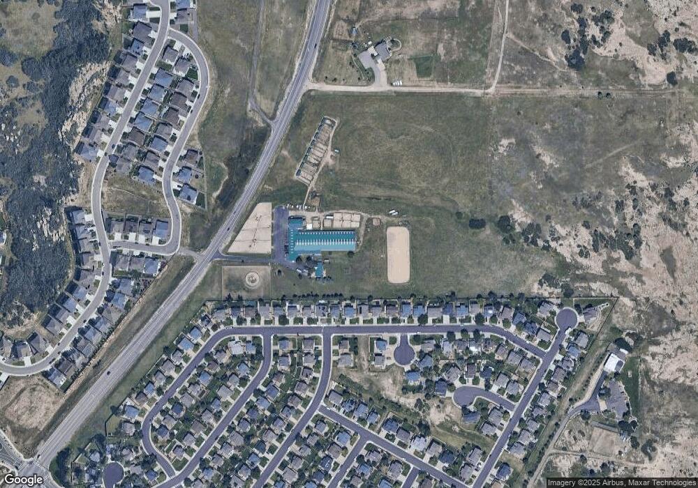
Map
Nearby Homes
- 1464 N Stratton Ave
- 1273 N Heritage Ave
- 1224 N Heritage Ave
- 5670 E Tabor Dr
- 5086 Basalt Ridge Cir
- 718 Blue Teal Dr
- 650 Howe Cir
- 469 Whisper Wind Ln
- 5617 E Prescott Ave
- 4675 High Mesa Cir
- 1853 Water Birch Way
- 535 Howe St
- 512 Blue Teal Dr
- 1536 McMurdo Trail
- 5326 E Howe St
- Plan 1818 at Terrain Oak Valley
- Plan 1942 at Terrain Oak Valley
- Plan 2390 at Terrain Oak Valley
- Plan 2651 Modeled at Terrain Oak Valley
- Plan 1747 at Terrain Oak Valley
- 5663 E Monument Dr
- 5645 E Monument Dr
- 5685 E Monument Dr
- 5627 E Monument Dr
- 5705 E Monument Dr
- 5603 E Monument Dr
- 5721 E Monument Dr
- 5585 E Monument Dr
- 5567 E Monument Dr
- 5765 E Monument Dr
- 1477 N Heritage Ave
- 5541 E Monument Dr
- 1484 N Heritage Ave
- 5783 E Monument Dr
- 1453 N Heritage Ave
- 5525 E Monument Dr
- 1485 N Monument Cir
- 1468 N Heritage Ave
- 5564 E Monument Dr
- 5807 E Monument Dr