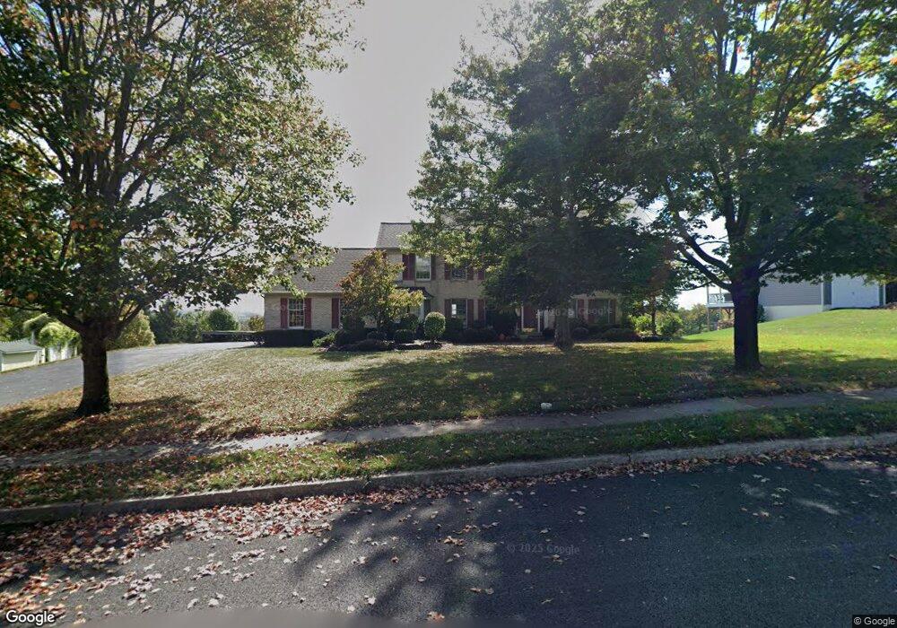
4494 Country View Dr Doylestown, PA 18902
Plumstead NeighborhoodEstimated Value: $819,000 - $900,000
4
Beds
3
Baths
3,046
Sq Ft
$284/Sq Ft
Est. Value
About This Home
This home is located at 4494 Country View Dr, Doylestown, PA 18902 and is currently estimated at $864,939, approximately $283 per square foot. 4494 Country View Dr is a home located in Bucks County with nearby schools including Gayman Elementary School, Tohickon Middle School, and Central Bucks High School - East.
Ownership History
Date
Name
Owned For
Owner Type
Purchase Details
Closed on
Nov 13, 1996
Sold by
Simpson P David and Simpson Arlene M
Bought by
Croll Lawrence W and Croll Suzan M
Current Estimated Value
Home Financials for this Owner
Home Financials are based on the most recent Mortgage that was taken out on this home.
Original Mortgage
$207,000
Outstanding Balance
$18,902
Interest Rate
7.25%
Estimated Equity
$846,037
Purchase Details
Closed on
Dec 8, 1992
Bought by
Simpson Simpson P and Simpson Arlene M
Create a Home Valuation Report for This Property
The Home Valuation Report is an in-depth analysis detailing your home's value as well as a comparison with similar homes in the area
Home Values in the Area
Average Home Value in this Area
Purchase History
| Date | Buyer | Sale Price | Title Company |
|---|---|---|---|
| Croll Lawrence W | $281,500 | -- | |
| Simpson Simpson P | $269,600 | -- |
Source: Public Records
Mortgage History
| Date | Status | Borrower | Loan Amount |
|---|---|---|---|
| Open | Croll Lawrence W | $207,000 |
Source: Public Records
Tax History Compared to Growth
Tax History
| Year | Tax Paid | Tax Assessment Tax Assessment Total Assessment is a certain percentage of the fair market value that is determined by local assessors to be the total taxable value of land and additions on the property. | Land | Improvement |
|---|---|---|---|---|
| 2025 | $10,168 | $58,520 | $3,680 | $54,840 |
| 2024 | $10,168 | $58,520 | $3,680 | $54,840 |
| 2023 | $9,845 | $58,520 | $3,680 | $54,840 |
| 2022 | $9,735 | $58,520 | $3,680 | $54,840 |
| 2021 | $9,626 | $58,520 | $3,680 | $54,840 |
| 2020 | $9,626 | $58,520 | $3,680 | $54,840 |
| 2019 | $9,567 | $58,520 | $3,680 | $54,840 |
| 2018 | $9,567 | $58,520 | $3,680 | $54,840 |
| 2017 | $9,436 | $58,520 | $3,680 | $54,840 |
| 2016 | $9,436 | $58,520 | $3,680 | $54,840 |
| 2015 | -- | $58,520 | $3,680 | $54,840 |
| 2014 | -- | $58,520 | $3,680 | $54,840 |
Source: Public Records
Map
Nearby Homes
- 6680 Point Pleasant Pike
- 5182 Point Pleasant Pike
- 4964 Point Pleasant Pike
- 4250 Aly Dr
- 4925 Redfield Rd
- 4936 Davis Dr
- 3975 Amberton Ct
- 5805 Ridgeview Dr
- 5090 Durham Rd
- 0 Valley Park Rd
- 5063 Sagewood Ct
- 5491 Long Ln
- 5115 Sugar Hill Ct
- 5184 Lovering Dr
- 4221 Sir Andrew Cir
- 5987 Point Pleasant Pike
- 5281 Harrington Ct
- 4542 Deep Creek Way
- 4190 Milords Ln
- 4605 Twinbrook Cir
- 4498 Country View Dr
- 4489 Country View Dr
- 4506 Country View Dr
- 4497 Country View Dr
- 4480 Country View Dr
- 4479 Country View Dr
- 4511 Country View Dr
- 4503 Country View Dr
- 4474 Country View Dr
- 4471 Country View Dr
- 4464 Country View Dr
- 4465 Country View Dr
- 4506 Blue Ridge Dr
- 4512 Blue Ridge Dr
- 4520 Blue Ridge Dr
- 4526 Blue Ridge Dr
- 4457 Country View Dr
- 4456 Country View Dr
- 4536 Durham Rd
- 4532 Blue Ridge Dr