4494 Keokuk St Prole, IA 50229
Warren County NeighborhoodEstimated Value: $422,000 - $492,759
3
Beds
4
Baths
1,450
Sq Ft
$315/Sq Ft
Est. Value
About This Home
This home is located at 4494 Keokuk St, Prole, IA 50229 and is currently estimated at $456,690, approximately $314 per square foot. 4494 Keokuk St is a home located in Warren County with nearby schools including Martensdale Elementary School and Martensdale-St. Marys Junior/Senior High School.
Ownership History
Date
Name
Owned For
Owner Type
Purchase Details
Closed on
Oct 29, 2021
Sold by
Sue Davidson Debra
Bought by
Davidson Richard Wayne
Current Estimated Value
Create a Home Valuation Report for This Property
The Home Valuation Report is an in-depth analysis detailing your home's value as well as a comparison with similar homes in the area
Home Values in the Area
Average Home Value in this Area
Purchase History
| Date | Buyer | Sale Price | Title Company |
|---|---|---|---|
| Davidson Richard Wayne | -- | -- |
Source: Public Records
Tax History Compared to Growth
Tax History
| Year | Tax Paid | Tax Assessment Tax Assessment Total Assessment is a certain percentage of the fair market value that is determined by local assessors to be the total taxable value of land and additions on the property. | Land | Improvement |
|---|---|---|---|---|
| 2025 | $4,290 | $518,600 | $195,400 | $323,200 |
| 2024 | $4,336 | $365,500 | $74,100 | $291,400 |
| 2023 | $3,923 | $365,500 | $74,100 | $291,400 |
| 2022 | $3,800 | $282,100 | $72,800 | $209,300 |
| 2021 | $3,764 | $282,100 | $72,800 | $209,300 |
| 2020 | $3,898 | $270,500 | $72,800 | $197,700 |
| 2019 | $3,706 | $270,500 | $72,800 | $197,700 |
| 2018 | $3,674 | $255,900 | $0 | $0 |
| 2017 | $3,512 | $255,900 | $0 | $0 |
| 2016 | $3,450 | $238,900 | $0 | $0 |
| 2015 | $3,450 | $238,900 | $0 | $0 |
| 2014 | $3,532 | $241,300 | $0 | $0 |
Source: Public Records
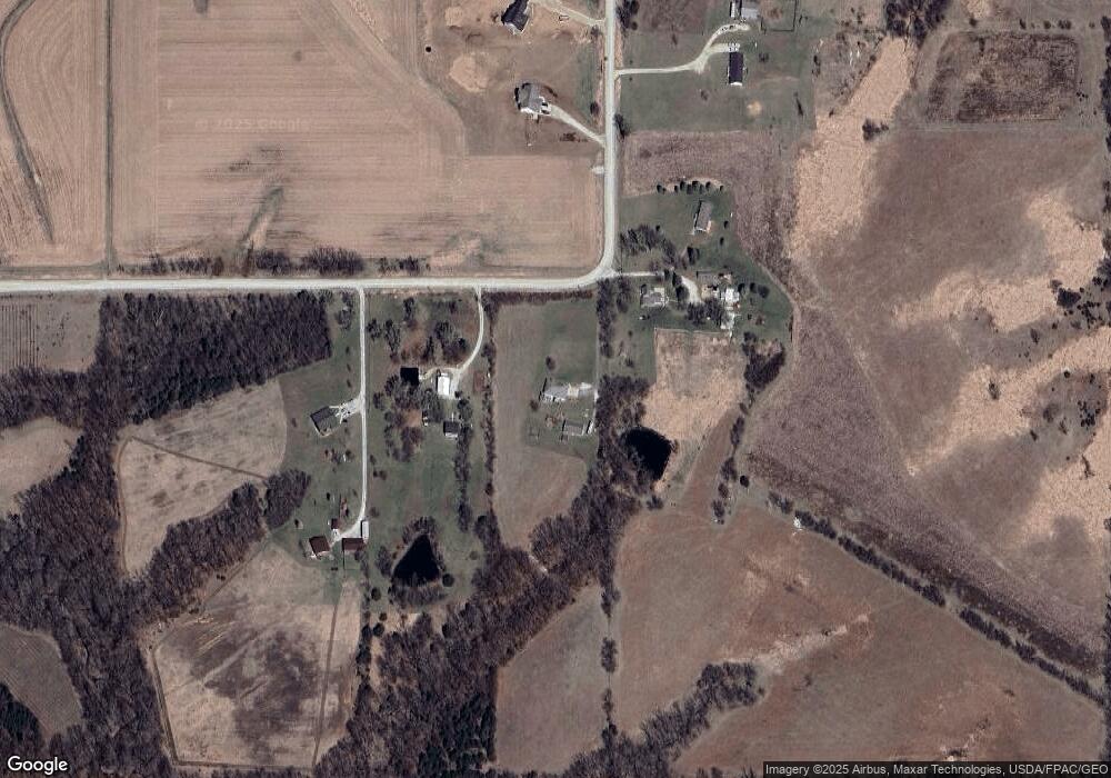
Map
Nearby Homes
- 00 Keokuk St
- 0 Keokuk St
- R45 Highway
- 13450 R45 Hwy
- 3726 Mcgregor St
- 0 Mcgregor St Unit 22243665
- 01 Kennedy St
- 33rd Avenue
- 265 Hwy 28 Hwy
- 214 Walnut Dr
- 01 Mcgregor St
- 320 Burlington Ave
- 01 33rd Ave
- 02 33rd Ave
- 00 33rd Ave
- 610 Franklin Dr
- 00 County Road R45
- 16359 Kennedy St
- Lot 5 78th Ln
- 00 Hempstead Place
- 4496 Keokuk St
- 4436 Keokuk St
- 4378 Keokuk St
- 02 45th Ave
- 01 45th Ave
- 12159 45th Ave
- 03 Keokuk St
- 01 Keokuk St
- 12068 45th Ave
- 4053 Kirkwood St
- 12367 R45 Hwy
- 12209 R45 Hwy
- 12523 R45 Hwy
- 12250 50th Ave
- 12526 R45 Hwy
- 4831 Lisbon St
- 00 R45
- 3879 Kirkwood St
- 3928 Kirkwood St
- 0 Johnson & Hwy R45 Unit 5478908