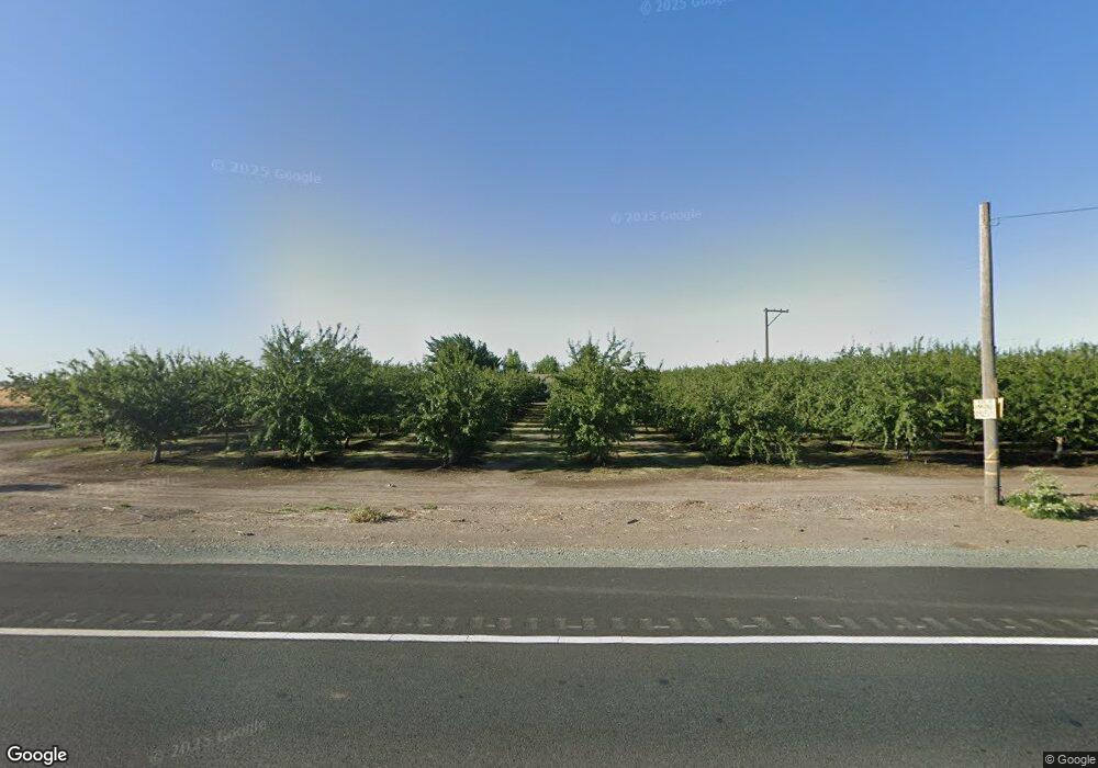
4496 W Highway 4 Stockton, CA 95206
Estimated Value: $496,000 - $848,000
3
Beds
2
Baths
1,999
Sq Ft
$334/Sq Ft
Est. Value
About This Home
This home is located at 4496 W Highway 4, Stockton, CA 95206 and is currently estimated at $667,677, approximately $334 per square foot. 4496 W Highway 4 is a home located in San Joaquin County with nearby schools including Louis J. Villalovoz Elementary School, Earle E. Williams Middle School, and Merrill F. West High School.
Ownership History
Date
Name
Owned For
Owner Type
Purchase Details
Closed on
Nov 20, 2012
Sold by
Mazzanti Lilian
Bought by
Mazzanti Lillian
Current Estimated Value
Purchase Details
Closed on
Mar 18, 2009
Sold by
Abate Julie Ann
Bought by
Abate Gary A and Abate Julie A
Purchase Details
Closed on
Dec 24, 2008
Sold by
Mazzanti August and Mazzanti Lillian
Bought by
Abate Julie Ann
Create a Home Valuation Report for This Property
The Home Valuation Report is an in-depth analysis detailing your home's value as well as a comparison with similar homes in the area
Home Values in the Area
Average Home Value in this Area
Purchase History
| Date | Buyer | Sale Price | Title Company |
|---|---|---|---|
| Mazzanti Lillian | -- | None Available | |
| Abate Gary A | -- | None Available | |
| Abate Julie Ann | -- | None Available | |
| Mazzanti August | -- | None Available |
Source: Public Records
Tax History Compared to Growth
Tax History
| Year | Tax Paid | Tax Assessment Tax Assessment Total Assessment is a certain percentage of the fair market value that is determined by local assessors to be the total taxable value of land and additions on the property. | Land | Improvement |
|---|---|---|---|---|
| 2025 | $823 | $66,927 | $62,766 | $4,161 |
| 2024 | $1,652 | $145,514 | $18,022 | $127,492 |
| 2023 | $1,628 | $142,662 | $17,669 | $124,993 |
| 2022 | $1,520 | $139,866 | $17,323 | $122,543 |
| 2021 | $1,505 | $137,125 | $16,984 | $120,141 |
| 2020 | $1,499 | $135,720 | $16,810 | $118,910 |
| 2019 | $1,472 | $133,060 | $16,481 | $116,579 |
| 2018 | $1,448 | $130,452 | $16,158 | $114,294 |
| 2017 | $1,377 | $127,895 | $15,842 | $112,053 |
| 2016 | $1,389 | $125,387 | $15,531 | $109,856 |
| 2014 | $1,259 | $121,085 | $14,998 | $106,087 |
Source: Public Records
Map
Nearby Homes
- 3404 S Inland Dr
- 2336 Amboy Ave
- 2333 Amboy Ave
- 5989 S Inland Dr
- 2935 Monte Diablo Ave Unit 3
- 2944 Peachtree Dr Unit 4
- 2944 Peachtree Dr Unit 2
- 2936 Peachtree Dr Unit 2
- 1212 Occidental Ave Unit 3
- 1211 Pinetree Dr Unit 4
- 3342 Cove Cir
- 1316 Occidental Ave Unit 4
- 3314 Cove Cir
- 3708 Michigan Ave
- 2625 Crestmore Cir
- 2050 Grey Stone Dr
- 2428 Shell Ct
- 2884 W Rose St
- 2402 Sailboat Ct
- 2635 W Fremont St Unit 9
- 5167 W Highway 4
- 9701 California 4
- 5640 California 4
- 5810 California 4
- 4115 Wilhoit Rd
- 5400 Maybeck Rd
- 1612 Universal Way
- 0 S 000 Lincoln St Unit 80062937
- 0 S Harrison St Unit 90033667
- 3638 Mary
- 0 1845 Thirteenth St Unit 16014430
- 0 7520 W Howard Rd Unit 17038263
- 0 921 S Aurora Unit 17043288
- 1602 Turnpike Rd
- 0 S Lincoln(no Site Address) St Unit 70046186
- 1700 W Undine Rd
- 3691 S State Route 99 W Fron Road Hwy
- 6566 S Wolfinger Rd
- 929 S Aurora St
- 13650 S Crocker Rd
