44986 Six Points Rd Woodsfield, OH 43793
Estimated Value: $32,755
--
Bed
1
Bath
308
Sq Ft
$106/Sq Ft
Est. Value
About This Home
This home is located at 44986 Six Points Rd, Woodsfield, OH 43793 and is currently estimated at $32,755, approximately $106 per square foot. 44986 Six Points Rd is a home located in Monroe County with nearby schools including River Elementary School and River High School.
Ownership History
Date
Name
Owned For
Owner Type
Purchase Details
Closed on
Mar 7, 2024
Sold by
Gordon Matthew J and Gordon Angela M
Bought by
Weaver Robert H and Weaver Amanda C
Current Estimated Value
Purchase Details
Closed on
Mar 20, 2023
Sold by
Thompson Maria
Bought by
Gordon Matthew J and Gordon Angela M
Purchase Details
Closed on
Apr 23, 2019
Sold by
Wohnhas Max E and Wohnhas Carolyn B
Bought by
Thompson Maria
Home Financials for this Owner
Home Financials are based on the most recent Mortgage that was taken out on this home.
Original Mortgage
$58,000
Interest Rate
4.3%
Mortgage Type
Purchase Money Mortgage
Purchase Details
Closed on
Sep 3, 2003
Bought by
Wohnhas Max E and Wohnhas Carolyn B
Create a Home Valuation Report for This Property
The Home Valuation Report is an in-depth analysis detailing your home's value as well as a comparison with similar homes in the area
Home Values in the Area
Average Home Value in this Area
Purchase History
| Date | Buyer | Sale Price | Title Company |
|---|---|---|---|
| Weaver Robert H | $30,000 | None Listed On Document | |
| Weaver Robert H | $30,000 | None Listed On Document | |
| Gordon Matthew J | $68,000 | None Listed On Document | |
| Thompson Maria | $66,000 | None Available | |
| Wohnhas Max E | -- | -- |
Source: Public Records
Mortgage History
| Date | Status | Borrower | Loan Amount |
|---|---|---|---|
| Previous Owner | Thompson Maria | $58,000 |
Source: Public Records
Tax History Compared to Growth
Tax History
| Year | Tax Paid | Tax Assessment Tax Assessment Total Assessment is a certain percentage of the fair market value that is determined by local assessors to be the total taxable value of land and additions on the property. | Land | Improvement |
|---|---|---|---|---|
| 2024 | $230 | $7,750 | $7,710 | $40 |
| 2023 | $230 | $7,750 | $7,710 | $40 |
| 2022 | $241 | $8,160 | $8,120 | $40 |
| 2021 | $700 | $23,950 | $6,830 | $17,120 |
| 2020 | $700 | $23,950 | $6,830 | $17,120 |
| 2019 | $706 | $23,580 | $6,460 | $17,120 |
| 2018 | $675 | $21,690 | $5,380 | $16,310 |
| 2017 | $677 | $21,690 | $5,380 | $16,310 |
| 2016 | $687 | $21,690 | $5,380 | $16,310 |
| 2015 | $614 | $18,790 | $4,170 | $14,620 |
| 2014 | $614 | $18,790 | $4,170 | $14,620 |
| 2013 | $634 | $17,990 | $3,790 | $14,200 |
Source: Public Records
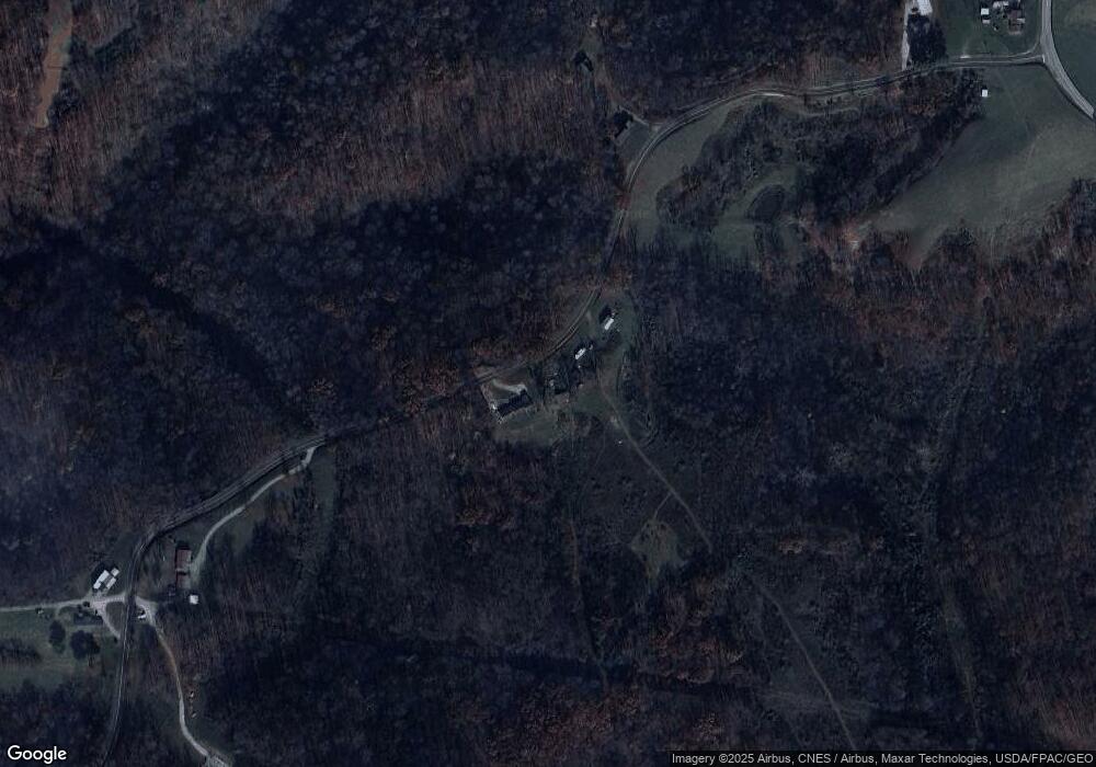
Map
Nearby Homes
- 44883 Bondi Ridge Rd
- 0 Lickskillet Rd
- 0 Township Rd 460 Unit 23727141
- Township Road 460
- 49100 Township Road 198
- 147 Andover Rd
- 111 Main St
- 123 Andover Rd
- 314 Devon Rd
- 448 Market St
- 315 Eastern Ave
- 39567 State Route 800
- 618 Market St
- 129 Maple Ave
- 50504 State Route 556
- 407 High St
- 303 High St
- 48375 Benwood Rd
- 210 E Church St
- 108.5 S Paul Aly
- 44928 Six Points Rd
- 45067 Six Points Rd
- 44754 Six Points Rd
- 45183 Six Points Rd
- 46655 State Route 536
- 46588 State Route 536
- 46689 State Route 536
- 46711 State Route 536
- 45586 Township Road 2512
- 46029 State Route 78
- 46394 State Route 536
- 46091 State Route 78
- 45961 State Route 78
- 46752 Ohio 536
- 46000 State Route 78
- 46472 State Route 536
- 46390 State Route 536
- 46038 State Route 78
- 45591 State Route 78
- 45870 Ohio 78