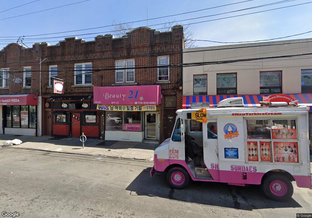
45-05 162nd St Flushing, NY 11358
East Flushing NeighborhoodEstimated Value: $1,043,859
Studio
1
Bath
2,040
Sq Ft
$512/Sq Ft
Est. Value
About This Home
This home is located at 45-05 162nd St, Flushing, NY 11358 and is currently estimated at $1,043,859, approximately $511 per square foot. 45-05 162nd St is a home located in Queens County with nearby schools including P.S. 107 Thomas A Dooley, Rachel Carson I.S. 237Q, and Francis Lewis High School.
Ownership History
Date
Name
Owned For
Owner Type
Purchase Details
Closed on
Aug 4, 2023
Sold by
Gugliotta Anthony and Gugliotta Paul
Bought by
United 45 Holding Llc
Current Estimated Value
Home Financials for this Owner
Home Financials are based on the most recent Mortgage that was taken out on this home.
Original Mortgage
$540,000
Outstanding Balance
$528,035
Interest Rate
6.96%
Mortgage Type
Purchase Money Mortgage
Estimated Equity
$515,824
Purchase Details
Closed on
Jun 2, 2011
Sold by
Bell Blvd Realty
Bought by
Gugliotta Anthony and Gugliotta Paul
Create a Home Valuation Report for This Property
The Home Valuation Report is an in-depth analysis detailing your home's value as well as a comparison with similar homes in the area
Home Values in the Area
Average Home Value in this Area
Purchase History
| Date | Buyer | Sale Price | Title Company |
|---|---|---|---|
| United 45 Holding Llc | $970,000 | -- | |
| Gugliotta Anthony | -- | -- |
Source: Public Records
Mortgage History
| Date | Status | Borrower | Loan Amount |
|---|---|---|---|
| Open | United 45 Holding Llc | $540,000 |
Source: Public Records
Tax History
| Year | Tax Paid | Tax Assessment Tax Assessment Total Assessment is a certain percentage of the fair market value that is determined by local assessors to be the total taxable value of land and additions on the property. | Land | Improvement |
|---|---|---|---|---|
| 2025 | $6,199 | $32,714 | $5,226 | $27,488 |
| 2024 | $6,199 | $30,863 | $5,149 | $25,714 |
| 2023 | $5,848 | $29,117 | $4,752 | $24,365 |
| 2022 | $5,778 | $54,480 | $10,860 | $43,620 |
| 2021 | $6,000 | $50,280 | $10,860 | $39,420 |
| 2020 | $5,771 | $52,500 | $10,860 | $41,640 |
| 2019 | $5,380 | $53,580 | $10,860 | $42,720 |
| 2018 | $4,946 | $24,264 | $5,903 | $18,361 |
| 2017 | $4,917 | $24,120 | $6,255 | $17,865 |
| 2016 | $4,750 | $24,120 | $6,255 | $17,865 |
| 2015 | $2,744 | $22,718 | $8,478 | $14,240 |
| 2014 | $2,744 | $21,433 | $9,602 | $11,831 |
Source: Public Records
Map
Nearby Homes
- 163-02 45th Ave
- 43-58 163rd St
- 43-33 163rd St
- 43-27 162nd St
- 4363 160th St
- 4344 161st St
- 45-74 164th St
- 45-57 160th St
- 43-7 162nd St
- 45-19 158th St
- 46-12 161st St Unit 1D
- 46-12 161st St Unit 2C
- 42-16 162nd St
- 4328 168th St
- 46-05 158th St
- 43-04 158th St Unit 3E
- 4304 158th St Unit Lobby 4
- 4304 158th St Unit 2C
- 43-52 169th St
- 42-28 159th St
- 45-05 162nd St Unit 2nd Fl
- 4505 162nd St
- 4503 162nd St Unit 2ndFL
- 4503 162nd St
- 45-3 162nd St
- 4503 162nd St
- 4509 162nd St
- 4501 162nd St
- 16210 45th Ave
- 45-01 162nd St
- 4511 162nd St
- 16214 45th Ave
- 45-15 162nd St
- 45-15 162nd St Unit 2D
- 45-15 162 St
- 45-15 162 St Unit 201
- 4515 162nd St
- 16218 45th Ave
- 16218 45th Ave Unit 2
- 4504 162nd St
Your Personal Tour Guide
Ask me questions while you tour the home.