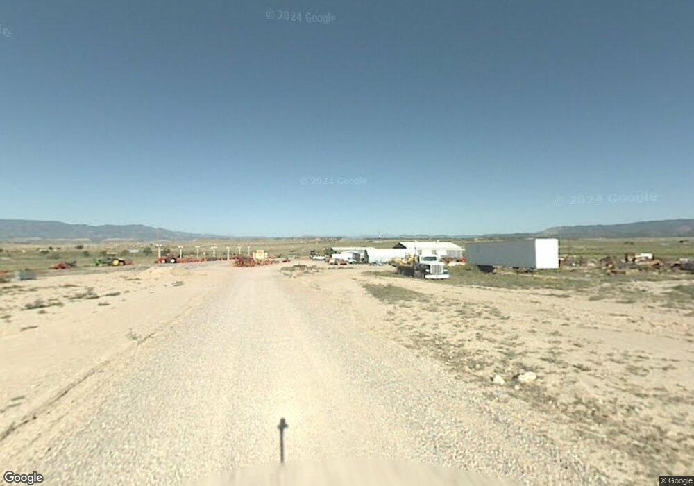
45 10th St Penrose, CO 81240
Estimated Value: $392,000
--
Bed
--
Bath
9,900
Sq Ft
$40/Sq Ft
Est. Value
About This Home
This home is located at 45 10th St, Penrose, CO 81240 and is currently priced at $392,000, approximately $39 per square foot. 45 10th St is a home located in Fremont County with nearby schools including Penrose Elementary School and Florence High School.
Ownership History
Date
Name
Owned For
Owner Type
Purchase Details
Closed on
Feb 8, 2022
Sold by
Kahnke Joseph J
Bought by
Kahnke Living Trust
Current Estimated Value
Purchase Details
Closed on
Jun 19, 2003
Sold by
Kahnke Joseph J and Kahnke Lavonne C
Bought by
Kahnke Family Trust /02
Purchase Details
Closed on
Apr 24, 1995
Sold by
Fremont National Bank Of Canon City
Bought by
Kahnke
Purchase Details
Closed on
Oct 30, 1989
Sold by
Canon Nat Bank
Bought by
Fremont Nat Bank Cc
Purchase Details
Closed on
Aug 1, 1989
Sold by
Public Trustee
Bought by
Canon Nat Bank
Create a Home Valuation Report for This Property
The Home Valuation Report is an in-depth analysis detailing your home's value as well as a comparison with similar homes in the area
Home Values in the Area
Average Home Value in this Area
Purchase History
| Date | Buyer | Sale Price | Title Company |
|---|---|---|---|
| Kahnke Living Trust | -- | None Listed On Document | |
| Kahnke Family Trust /02 | -- | -- | |
| Kahnke | $100,000 | -- | |
| Fremont Nat Bank Cc | -- | -- | |
| Canon Nat Bank | -- | -- |
Source: Public Records
Tax History Compared to Growth
Tax History
| Year | Tax Paid | Tax Assessment Tax Assessment Total Assessment is a certain percentage of the fair market value that is determined by local assessors to be the total taxable value of land and additions on the property. | Land | Improvement |
|---|---|---|---|---|
| 2024 | $5,670 | $86,625 | $0 | $0 |
| 2023 | $5,670 | $76,972 | $0 | $0 |
| 2022 | $5,539 | $75,968 | $0 | $0 |
| 2021 | $5,452 | $75,968 | $0 | $0 |
| 2020 | $4,035 | $65,648 | $0 | $0 |
| 2019 | $4,053 | $65,648 | $0 | $0 |
| 2018 | $4,110 | $66,723 | $0 | $0 |
| 2017 | $4,183 | $66,723 | $0 | $0 |
| 2016 | $4,094 | $66,330 | $0 | $0 |
| 2015 | $4,044 | $66,330 | $0 | $0 |
| 2012 | $4,586 | $69,423 | $13,340 | $56,083 |
Source: Public Records
Map
Nearby Homes