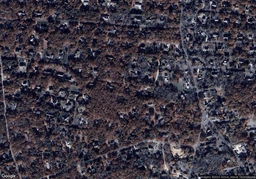
45 Anchor Way Eastham, MA 02642
Estimated Value: $611,000 - $709,000
2
Beds
2
Baths
884
Sq Ft
$750/Sq Ft
Est. Value
About This Home
This home is located at 45 Anchor Way, Eastham, MA 02642 and is currently estimated at $662,684, approximately $749 per square foot. 45 Anchor Way is a home located in Barnstable County with nearby schools including Eastham Elementary School, Nauset Regional Middle School, and Nauset Regional High School.
Ownership History
Date
Name
Owned For
Owner Type
Purchase Details
Closed on
Jul 14, 2025
Sold by
Warwick Richard J Est and Lamontagne
Bought by
Lamontagne Annamarie C
Current Estimated Value
Purchase Details
Closed on
Dec 16, 1988
Sold by
Kennedy William J
Bought by
Warwick Richard J
Home Financials for this Owner
Home Financials are based on the most recent Mortgage that was taken out on this home.
Original Mortgage
$90,000
Interest Rate
10.07%
Mortgage Type
Purchase Money Mortgage
Create a Home Valuation Report for This Property
The Home Valuation Report is an in-depth analysis detailing your home's value as well as a comparison with similar homes in the area
Home Values in the Area
Average Home Value in this Area
Purchase History
| Date | Buyer | Sale Price | Title Company |
|---|---|---|---|
| Lamontagne Annamarie C | -- | -- | |
| Lamontagne Annamarie C | -- | -- | |
| Warwick Richard J | $150,000 | -- |
Source: Public Records
Mortgage History
| Date | Status | Borrower | Loan Amount |
|---|---|---|---|
| Previous Owner | Warwick Richard J | $55,650 | |
| Previous Owner | Warwick Richard J | $60,000 | |
| Previous Owner | Warwick Richard J | $88,400 | |
| Previous Owner | Warwick Richard J | $90,000 |
Source: Public Records
Tax History Compared to Growth
Tax History
| Year | Tax Paid | Tax Assessment Tax Assessment Total Assessment is a certain percentage of the fair market value that is determined by local assessors to be the total taxable value of land and additions on the property. | Land | Improvement |
|---|---|---|---|---|
| 2025 | $4,217 | $547,000 | $289,900 | $257,100 |
| 2024 | $3,723 | $531,100 | $281,400 | $249,700 |
| 2023 | $3,461 | $478,000 | $260,600 | $217,400 |
| 2022 | $3,335 | $388,700 | $232,700 | $156,000 |
| 2021 | $3,243 | $353,300 | $211,500 | $141,800 |
| 2020 | $3,039 | $348,500 | $215,800 | $132,700 |
| 2019 | $2,635 | $319,400 | $190,500 | $128,900 |
| 2018 | $2,590 | $310,200 | $185,000 | $125,200 |
| 2017 | $2,402 | $304,100 | $181,300 | $122,800 |
| 2016 | $2,217 | $298,000 | $181,300 | $116,700 |
| 2015 | $2,079 | $292,800 | $177,800 | $115,000 |
Source: Public Records
Map
Nearby Homes