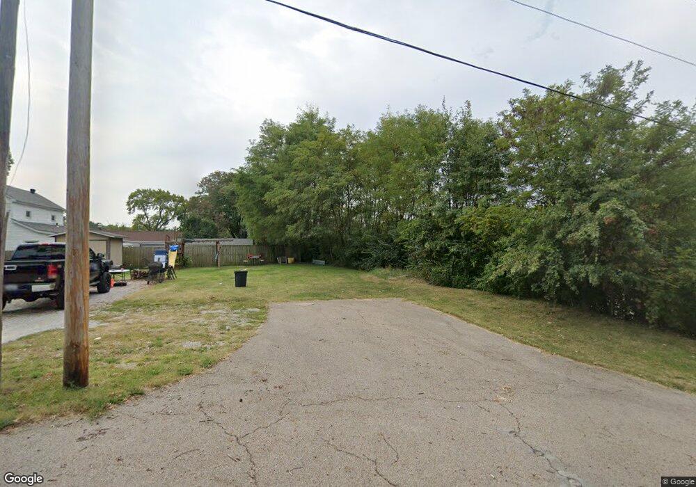
45 Angle St Collinsville, IL 62234
Estimated Value: $143,630
Studio
--
Bath
--
Sq Ft
6,839
Sq Ft Lot Lot
About This Home
This home is located at 45 Angle St, Collinsville, IL 62234 and is currently estimated at $143,630. 45 Angle St is a home located in Madison County with nearby schools including Webster Elementary School, Dorris Intermediate School, and Collinsville Middle School.
Ownership History
Date
Name
Owned For
Owner Type
Purchase Details
Closed on
Oct 10, 2009
Sold by
Johns Michael and Baxter Sara
Bought by
People Of The State Of Illinois Departme
Current Estimated Value
Purchase Details
Closed on
Apr 29, 2008
Sold by
Johns Michael E and Baxter Sara A
Bought by
Johns Ii Michael E and Baxter Sara E
Purchase Details
Closed on
Sep 27, 2002
Sold by
Thorpe Jennifer and Thorpe Jason
Bought by
Johns Michael and Haxter Sara
Home Financials for this Owner
Home Financials are based on the most recent Mortgage that was taken out on this home.
Original Mortgage
$64,100
Interest Rate
5.91%
Mortgage Type
Fannie Mae Freddie Mac
Create a Home Valuation Report for This Property
The Home Valuation Report is an in-depth analysis detailing your home's value as well as a comparison with similar homes in the area
Home Values in the Area
Average Home Value in this Area
Purchase History
We collect this data history from publicly available records. To have your information removed, we recommend requesting removal directly through your county’s website.
| Date | Buyer | Sale Price | Title Company |
|---|---|---|---|
| People Of The State Of Illinois Departme | $83,600 | Wheatland Title Guaranty | |
| Johns Ii Michael E | -- | None Available | |
| Johns Michael | $64,500 | -- | |
| Thorpe Jason | $58,000 | -- |
Source: Public Records
Mortgage History
We collect this data history from publicly available records. To have your information removed, we recommend requesting removal directly through your county’s website.
| Date | Status | Borrower | Loan Amount |
|---|---|---|---|
| Previous Owner | Johns Michael | $64,100 |
Source: Public Records
Tax History
| Year | Tax Paid | Tax Assessment Tax Assessment Total Assessment is a certain percentage of the fair market value that is determined by local assessors to be the total taxable value of land and additions on the property. | Land | Improvement |
|---|---|---|---|---|
| 2025 | -- | $0 | $0 | $0 |
| 2024 | -- | $0 | $0 | $0 |
| 2023 | -- | $0 | $0 | $0 |
| 2022 | $0 | $0 | $0 | $0 |
| 2021 | $0 | $0 | $0 | $0 |
| 2020 | $0 | $0 | $0 | $0 |
| 2019 | $0 | $0 | $0 | $0 |
| 2018 | $0 | $0 | $0 | $0 |
| 2017 | $0 | $0 | $0 | $0 |
| 2016 | -- | $0 | $0 | $0 |
| 2015 | -- | $0 | $0 | $0 |
| 2014 | -- | $0 | $0 | $0 |
| 2013 | -- | $0 | $0 | $0 |
Source: Public Records
Map
Nearby Homes
- 403 S Aurora St
- 422 S Aurora St
- 420 S Seminary St
- 528 E Main St
- 301 Plum St
- 119 N Hesperia St
- 726 Maple St
- 921 Prospect St
- 0 Elm St
- 746 Maple St
- 480 W Johnson St
- 1029 Summer Ln
- 1008 W Main St
- 827 Bond Ave
- 912 Dina Ave
- 615 N Center St
- 112 Portland Terrace
- 712 N Morrison Ave
- 776 Timberlane Dr
- Lot 32 Jefferson Ave
- 501 S Chestnut St
- 505 S Chestnut St
- 453 S Chestnut St
- 453 S Chestnut St
- 509 S Chestnut St
- 500 S Morrison Ave
- 449 S Chestnut St
- 504 S Morrison Ave
- 517 S Chestnut St
- 502 S Chestnut St
- 4 Fariole Place
- 445 S Chestnut St
- 440 Loop St
- 200 Angle Ave
- 508 S Morrison Ave
- 519 S Chestnut St
- 508 S Chestnut St
- 3 Fariole Place
- 514 S Morrison Ave
- 441 S Chestnut St
Your Personal Tour Guide
Ask me questions while you tour the home.