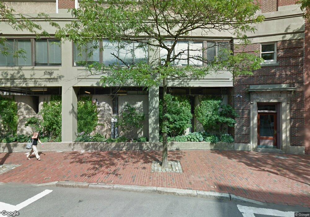
45 Atlantic Ave Unit 63 Boston, MA 02110
North End NeighborhoodEstimated Value: $1,220,000 - $1,661,000
2
Beds
2
Baths
1,315
Sq Ft
$1,084/Sq Ft
Est. Value
About This Home
This home is located at 45 Atlantic Ave Unit 63, Boston, MA 02110 and is currently estimated at $1,424,883, approximately $1,083 per square foot. 45 Atlantic Ave Unit 63 is a home located in Suffolk County with nearby schools including St John School, Boston Children's School, and Torit Montessori School.
Ownership History
Date
Name
Owned For
Owner Type
Purchase Details
Closed on
Jun 17, 2024
Sold by
Jerrold A Olanoff Ret and Jarashow
Bought by
Hicks Rt and Hicks
Current Estimated Value
Home Financials for this Owner
Home Financials are based on the most recent Mortgage that was taken out on this home.
Original Mortgage
$1,040,000
Outstanding Balance
$1,025,878
Interest Rate
7.38%
Mortgage Type
Purchase Money Mortgage
Estimated Equity
$399,005
Purchase Details
Closed on
Nov 21, 2017
Sold by
Olanoff Jerrold A
Bought by
Jerrold A Olanoff Ret and Olanoff
Create a Home Valuation Report for This Property
The Home Valuation Report is an in-depth analysis detailing your home's value as well as a comparison with similar homes in the area
Home Values in the Area
Average Home Value in this Area
Purchase History
| Date | Buyer | Sale Price | Title Company |
|---|---|---|---|
| Hicks Rt | $1,300,000 | None Available | |
| Hicks Rt | $1,300,000 | None Available | |
| Jerrold A Olanoff Ret | -- | -- | |
| Jerrold A Olanoff Ret | -- | -- |
Source: Public Records
Mortgage History
| Date | Status | Borrower | Loan Amount |
|---|---|---|---|
| Open | Hicks Rt | $1,040,000 | |
| Closed | Hicks Rt | $1,040,000 |
Source: Public Records
Tax History
| Year | Tax Paid | Tax Assessment Tax Assessment Total Assessment is a certain percentage of the fair market value that is determined by local assessors to be the total taxable value of land and additions on the property. | Land | Improvement |
|---|---|---|---|---|
| 2025 | $15,816 | $1,365,800 | $0 | $1,365,800 |
| 2024 | $14,251 | $1,307,400 | $0 | $1,307,400 |
| 2023 | $13,890 | $1,293,300 | $0 | $1,293,300 |
| 2022 | $13,932 | $1,280,500 | $0 | $1,280,500 |
| 2021 | $13,663 | $1,280,500 | $0 | $1,280,500 |
| 2020 | $13,396 | $1,268,600 | $0 | $1,268,600 |
| 2019 | $12,985 | $1,232,000 | $0 | $1,232,000 |
| 2018 | $12,539 | $1,196,500 | $0 | $1,196,500 |
| 2017 | $12,068 | $1,139,600 | $0 | $1,139,600 |
| 2016 | $11,826 | $1,075,100 | $0 | $1,075,100 |
| 2015 | $10,200 | $842,300 | $0 | $842,300 |
| 2014 | $10,314 | $819,900 | $0 | $819,900 |
Source: Public Records
Map
Nearby Homes
- 220 Commercial St Unit 5A
- 170 Commercial St Unit 4
- 130 Fulton St Unit 16
- 122-130 Fulton Unit 13
- 28 Atlantic Ave Unit 436
- 120 Fulton St Unit 5 C&D
- 50 Fleet St Unit 201
- 75 Fulton St Unit 21
- 90 Commercial St Unit 1A
- 34 Clark St Unit 2
- 7 Union Wharf
- 0 Fairfield Unit 71812438
- 14 N Bennet St Unit 1
- 14 N Bennet St Unit 2
- 357 Commercial St Unit 720
- 431-439 Hanover St
- 61 Prince St Unit 1C
- 133 Salem St
- 26 Unity St Unit 2
- 5 Holden Ct Unit 3
- 63 Atlantic Ave Unit 11B
- 63 Atlantic Ave Unit 48
- 45 Atlantic Ave Unit 63
- 45 Atlantic Ave Unit 63
- 45 Atlantic Ave Unit 63
- 45 Atlantic Ave Unit 63
- 45 Atlantic Ave Unit 63
- 45 Atlantic Ave Unit 63
- 45 Atlantic Ave Unit 63
- 45 Atlantic Ave Unit 63
- 45 Atlantic Ave Unit 63
- 45 Atlantic Ave Unit 63
- 45 Atlantic Ave Unit 63
- 45 Atlantic Ave Unit 63
- 45 Atlantic Ave Unit 63
- 45 Atlantic Ave Unit 63
- 45 Atlantic Ave Unit 63
- 45 Atlantic Ave Unit 63
- 45 Atlantic Ave Unit 63
- 45 Atlantic Ave Unit 63
Your Personal Tour Guide
Ask me questions while you tour the home.