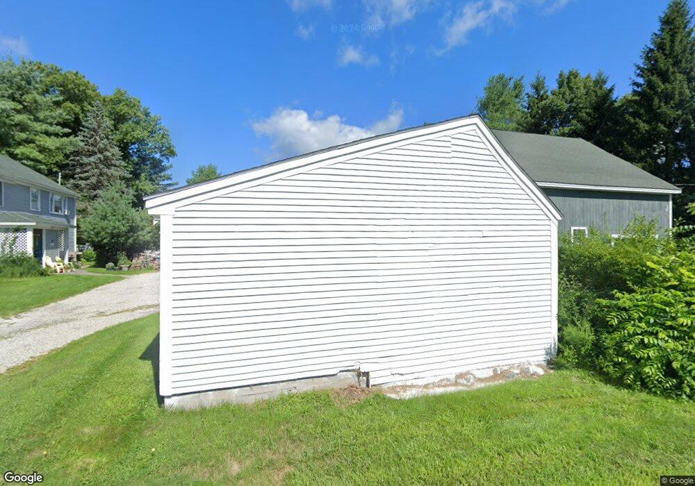
45 Bagdad Rd Durham, NH 03824
Estimated Value: $595,584
3
Beds
2
Baths
3,418
Sq Ft
$174/Sq Ft
Est. Value
About This Home
This home is located at 45 Bagdad Rd, Durham, NH 03824 and is currently estimated at $595,584, approximately $174 per square foot. 45 Bagdad Rd is a home located in Strafford County with nearby schools including Mast Way School, Oyster River Middle School, and Oyster River High School.
Ownership History
Date
Name
Owned For
Owner Type
Purchase Details
Closed on
Oct 20, 2021
Sold by
Manzoli
Bought by
48 Emerson Rd Llc
Current Estimated Value
Purchase Details
Closed on
Dec 7, 1998
Sold by
Hamblett Paul
Bought by
K & D Rt
Home Financials for this Owner
Home Financials are based on the most recent Mortgage that was taken out on this home.
Original Mortgage
$150,000
Interest Rate
6.68%
Mortgage Type
Purchase Money Mortgage
Create a Home Valuation Report for This Property
The Home Valuation Report is an in-depth analysis detailing your home's value as well as a comparison with similar homes in the area
Home Values in the Area
Average Home Value in this Area
Purchase History
| Date | Buyer | Sale Price | Title Company |
|---|---|---|---|
| 48 Emerson Rd Llc | $435,000 | None Available | |
| 48 Emerson Rd Llc | $435,000 | None Available | |
| 48 Emerson Rd Llc | $435,000 | None Available | |
| K & D Rt | $215,000 | -- |
Source: Public Records
Mortgage History
| Date | Status | Borrower | Loan Amount |
|---|---|---|---|
| Previous Owner | K & D Rt | $150,000 |
Source: Public Records
Tax History Compared to Growth
Tax History
| Year | Tax Paid | Tax Assessment Tax Assessment Total Assessment is a certain percentage of the fair market value that is determined by local assessors to be the total taxable value of land and additions on the property. | Land | Improvement |
|---|---|---|---|---|
| 2024 | $11,281 | $554,900 | $269,200 | $285,700 |
| 2023 | $11,364 | $554,900 | $269,200 | $285,700 |
| 2022 | $10,954 | $377,200 | $113,000 | $264,200 |
| 2021 | $11,823 | $423,600 | $113,000 | $310,600 |
| 2020 | $10,856 | $391,500 | $113,000 | $278,500 |
| 2019 | $10,739 | $391,500 | $113,000 | $278,500 |
| 2018 | $10,286 | $383,800 | $113,000 | $270,800 |
| 2017 | $11,372 | $383,300 | $93,400 | $289,900 |
| 2016 | $11,396 | $383,300 | $93,400 | $289,900 |
| 2015 | $11,442 | $383,300 | $93,400 | $289,900 |
| 2014 | $11,698 | $383,300 | $93,400 | $289,900 |
| 2013 | -- | $383,300 | $93,400 | $289,900 |
Source: Public Records
Map
Nearby Homes
- 12 Bucks Hill Rd
- 12 Fellows Ln
- 9 Fellows Ln
- 30 Canney Rd
- 7 Sumac Ln
- 4 Sauer Terrace
- 14 Young Dr
- 10 Young Dr
- 11 Young Dr
- 9 Young Dr
- 3-7 Jenkins Ct
- 7 Faculty Rd
- 30 Old Piscataqua Rd
- 65 Durham Point Rd
- 275-279 Mast Rd
- 27 Pinecrest Ln
- 0 Beech Hill Rd Unit 201-02-0-0-0,204-10-
- 31 Garrison Ln
- 1 Riverview Ct
- 10 Lee Rd
- 43 Bagdad Rd Unit B
- 43 Bagdad Rd Unit A
- 46 Emerson Rd Unit C
- 46 Emerson Rd Unit A
- 46B Emerson Rd Unit A
- 46 Emerson Rd
- 46B Emerson Rd Unit A/B
- 46D Emerson Rd
- 46 Emerson Rd Unit C & D
- 46 Emerson Rd Unit A & B
- 48 Emerson Rd
- 40 Emerson Rd Unit B
- 40 Emerson Rd Unit A
- 40 Emerson Rd Unit 40A
- 48A Emerson Rd Unit B
- 46 Bagdad Rd
- 47 Emerson Rd
- 40 Bagdad (Fka 38 Bagdad)
- 38 Emerson Rd Unit B
- 38 Emerson Rd Unit A