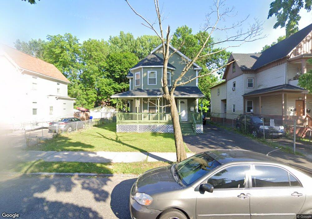
45 Bancroft St Springfield, MA 01107
Memorial Square NeighborhoodEstimated Value: $240,000 - $334,000
3
Beds
3
Baths
1,992
Sq Ft
$140/Sq Ft
Est. Value
About This Home
This home is located at 45 Bancroft St, Springfield, MA 01107 and is currently estimated at $278,900, approximately $140 per square foot. 45 Bancroft St is a home with nearby schools including German Gerena Community School, High School Of Commerce, and Springfield High School of Science and Technology.
Ownership History
Date
Name
Owned For
Owner Type
Purchase Details
Closed on
Mar 11, 2022
Sold by
North End Hsng Initiative
Bought by
Amisi Fikiri and Asumani Jacqueline
Current Estimated Value
Home Financials for this Owner
Home Financials are based on the most recent Mortgage that was taken out on this home.
Original Mortgage
$174,600
Outstanding Balance
$161,362
Interest Rate
3.92%
Mortgage Type
Purchase Money Mortgage
Estimated Equity
$117,538
Purchase Details
Closed on
May 13, 2011
Sold by
Katz Debra H
Bought by
North End Housing Init
Create a Home Valuation Report for This Property
The Home Valuation Report is an in-depth analysis detailing your home's value as well as a comparison with similar homes in the area
Home Values in the Area
Average Home Value in this Area
Purchase History
| Date | Buyer | Sale Price | Title Company |
|---|---|---|---|
| Amisi Fikiri | $180,000 | None Available | |
| North End Housing Init | $6,000 | -- | |
| North End Housing Init | $6,000 | -- |
Source: Public Records
Mortgage History
| Date | Status | Borrower | Loan Amount |
|---|---|---|---|
| Open | Amisi Fikiri | $174,600 |
Source: Public Records
Tax History
| Year | Tax Paid | Tax Assessment Tax Assessment Total Assessment is a certain percentage of the fair market value that is determined by local assessors to be the total taxable value of land and additions on the property. | Land | Improvement |
|---|---|---|---|---|
| 2025 | $2,822 | $180,000 | $21,200 | $158,800 |
| 2024 | $2,891 | $180,000 | $21,200 | $158,800 |
| 2023 | $3,069 | $180,000 | $21,200 | $158,800 |
| 2022 | $3,288 | $174,700 | $21,200 | $153,500 |
| 2021 | $363 | $19,200 | $19,200 | $0 |
| 2020 | $375 | $19,200 | $19,200 | $0 |
| 2019 | $378 | $19,200 | $19,200 | $0 |
| 2018 | $364 | $19,200 | $19,200 | $0 |
| 2017 | $364 | $18,500 | $18,500 | $0 |
| 2016 | $364 | $18,500 | $18,500 | $0 |
| 2015 | $364 | $18,500 | $18,500 | $0 |
Source: Public Records
Map
Nearby Homes
- 52 Osgood St
- 49-53 Jefferson Ave
- 26 Hebron St
- 13 Ringgold St
- 60 Ringgold St
- 78 Prospect St
- 57 Narragansett St
- 31 Washburn St
- 62 Washburn St
- 21 Merwin St
- 211-213 Chapin Terrace
- 24 Melha Ave
- 148-150 Stafford St
- 51-53 Abbe Ave
- 20 Cottage St
- 571-573 Carew St
- 224 Riverdale St
- 37 Day St
- 69 Winter St
- 63 Worcester St
- 49 Bancroft St
- 41 Bancroft St
- 53 Bancroft St
- 37-39 Bancroft St
- 37 Bancroft St
- 57 Bancroft St
- 31 Bancroft St Unit 33
- 31-33 Bancroft St
- 27-29 Bancroft St
- 29 Bancroft St
- 59 Bancroft St Unit 61
- 44 Osgood St
- 46 Bancroft St
- 50 Bancroft St
- 42 Bancroft St
- 48 Osgood St
- 54 Osgood St
- 52 Osgood St Unit 1
- 52 Osgood St Unit 2
- 64 Osgood St
Your Personal Tour Guide
Ask me questions while you tour the home.