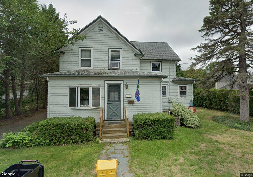
45 Banks Ave Lexington, MA 02421
East Lexington NeighborhoodEstimated Value: $1,003,000 - $1,144,000
4
Beds
2
Baths
1,504
Sq Ft
$720/Sq Ft
Est. Value
About This Home
This home is located at 45 Banks Ave, Lexington, MA 02421 and is currently estimated at $1,082,887, approximately $720 per square foot. 45 Banks Ave is a home located in Middlesex County with nearby schools including Bowman Elementary School, Jonas Clarke Middle School, and Lexington High School.
Ownership History
Date
Name
Owned For
Owner Type
Purchase Details
Closed on
Mar 31, 1994
Sold by
Bartels J4 C Richard and Bartels Karen A
Bought by
Carlton Roberta J and Hefferman Nathaniel E
Current Estimated Value
Home Financials for this Owner
Home Financials are based on the most recent Mortgage that was taken out on this home.
Original Mortgage
$203,000
Interest Rate
7.07%
Mortgage Type
Purchase Money Mortgage
Create a Home Valuation Report for This Property
The Home Valuation Report is an in-depth analysis detailing your home's value as well as a comparison with similar homes in the area
Home Values in the Area
Average Home Value in this Area
Purchase History
| Date | Buyer | Sale Price | Title Company |
|---|---|---|---|
| Carlton Roberta J | $217,000 | -- |
Source: Public Records
Mortgage History
| Date | Status | Borrower | Loan Amount |
|---|---|---|---|
| Open | Carlton Roberta J | $198,700 | |
| Closed | Carlton Roberta J | $203,000 | |
| Previous Owner | Carlton Roberta J | $161,000 |
Source: Public Records
Tax History Compared to Growth
Tax History
| Year | Tax Paid | Tax Assessment Tax Assessment Total Assessment is a certain percentage of the fair market value that is determined by local assessors to be the total taxable value of land and additions on the property. | Land | Improvement |
|---|---|---|---|---|
| 2025 | $11,349 | $928,000 | $635,000 | $293,000 |
| 2024 | $10,707 | $874,000 | $605,000 | $269,000 |
| 2023 | $10,426 | $802,000 | $550,000 | $252,000 |
| 2022 | $10,253 | $743,000 | $500,000 | $243,000 |
| 2021 | $7,079 | $707,000 | $476,000 | $231,000 |
| 2020 | $9,398 | $701,000 | $476,000 | $225,000 |
| 2019 | $9,446 | $669,000 | $454,000 | $215,000 |
| 2018 | $6,294 | $624,000 | $432,000 | $192,000 |
| 2017 | $8,303 | $573,000 | $398,000 | $175,000 |
| 2016 | $8,045 | $551,000 | $380,000 | $171,000 |
| 2015 | $7,638 | $514,000 | $345,000 | $169,000 |
| 2014 | $7,445 | $480,000 | $307,000 | $173,000 |
Source: Public Records
Map
Nearby Homes
- 34 Oak St
- 64 Browning Rd
- 57 Williams St
- 55 Pleasant St
- 9 Linc Cole Ln
- 6 Linc Cole Ln
- 5 Peck Ave
- 19 Crescent Rd
- 12 Colonial Village Dr Unit 12
- 10 Colonial Village Dr Unit 2
- 141 Renfrew St
- 37 Philip Rd
- 70 Birch Hill Rd
- 35 Tower Rd
- 39 Birch Hill Rd
- 72 Hathaway Cir
- 50 Hathaway Cir
- 36 Independence Ave
- 36 Lowell St
- 121 Concord Ave