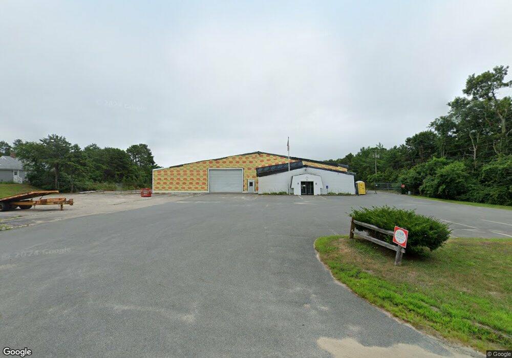
45 Barlows Landing Rd Pocasset, MA 2559
Pocasset NeighborhoodEstimated Value: $2,384,317
--
Bed
--
Bath
25,691
Sq Ft
$93/Sq Ft
Est. Value
About This Home
This home is located at 45 Barlows Landing Rd, Pocasset, MA 2559 and is currently estimated at $2,384,317, approximately $92 per square foot. 45 Barlows Landing Rd is a home located in Barnstable County with nearby schools including Bourne High School, Cadence Academy Preschool - Bourne, and St Margaret Regional School.
Ownership History
Date
Name
Owned For
Owner Type
Purchase Details
Closed on
Jun 28, 2023
Sold by
Colony Rt and Mulligan
Bought by
Barlows Landing Llc
Current Estimated Value
Home Financials for this Owner
Home Financials are based on the most recent Mortgage that was taken out on this home.
Original Mortgage
$531,718
Outstanding Balance
$516,933
Interest Rate
6.39%
Mortgage Type
Purchase Money Mortgage
Estimated Equity
$1,867,384
Purchase Details
Closed on
Aug 26, 1997
Sold by
Nickerson Lumber Co
Bought by
Colony Rt and Plante
Home Financials for this Owner
Home Financials are based on the most recent Mortgage that was taken out on this home.
Original Mortgage
$350,000
Interest Rate
7.42%
Mortgage Type
Commercial
Create a Home Valuation Report for This Property
The Home Valuation Report is an in-depth analysis detailing your home's value as well as a comparison with similar homes in the area
Home Values in the Area
Average Home Value in this Area
Purchase History
| Date | Buyer | Sale Price | Title Company |
|---|---|---|---|
| Barlows Landing Llc | $975,000 | None Available | |
| Colony Rt | $415,000 | -- | |
| Colony Rt | $415,000 | -- |
Source: Public Records
Mortgage History
| Date | Status | Borrower | Loan Amount |
|---|---|---|---|
| Open | Barlows Landing Llc | $531,718 | |
| Previous Owner | Colony Rt | $350,000 |
Source: Public Records
Tax History Compared to Growth
Tax History
| Year | Tax Paid | Tax Assessment Tax Assessment Total Assessment is a certain percentage of the fair market value that is determined by local assessors to be the total taxable value of land and additions on the property. | Land | Improvement |
|---|---|---|---|---|
| 2025 | $9,441 | $1,208,800 | $465,300 | $743,500 |
| 2024 | $8,225 | $1,025,500 | $443,200 | $582,300 |
| 2023 | $11,761 | $1,335,000 | $827,200 | $507,800 |
| 2022 | $12,458 | $1,234,700 | $777,700 | $457,000 |
| 2021 | $12,895 | $1,197,300 | $755,000 | $442,300 |
| 2020 | $12,696 | $1,182,100 | $740,300 | $441,800 |
| 2019 | $12,124 | $1,153,600 | $725,800 | $427,800 |
| 2018 | $11,666 | $1,106,800 | $697,800 | $409,000 |
| 2017 | $11,324 | $1,099,400 | $690,800 | $408,600 |
| 2016 | $11,170 | $1,099,400 | $690,800 | $408,600 |
| 2015 | $11,071 | $1,099,400 | $690,800 | $408,600 |
Source: Public Records
Map
Nearby Homes
- 41 Portside Dr
- 7 4th Ave
- 15 1st St
- 709 County Rd
- 940 County Rd
- 254 Barlows Landing Rd
- 39 Bennets Neck Dr
- 940 County Rd
- 515 County Rd
- 93 Valley Bars Rd
- 30 Howard Ave
- 2 Westerly Dr
- 105 Clay Pond Rd
- 14 Navajo Rd
- 171 Bellavista Dr
- 566 Shore Rd
- 3 Red Brook Pond Dr
- 22 Nairn Rd
- 18 Douglas Ave
- 48 Red Brook Harbor Rd
- 1 Kyle Dr
- 61 Barlows Landing Rd
- 41 Barlows Landing Rd Unit E
- 41 Barlows Landing Rd Unit D
- 41C Barlows Landing Rd
- 41 Barlows Landing Rd Unit C
- 41 Barlows Landing Rd Unit 3
- 41 Barlows Landing Rd Unit 2
- 41 Barlows Landing Rd Unit 4
- 41 Barlows Landing Rd Unit 1
- 41 Barlows Landing Rd
- 41 Barlows Landing Rd Unit 5
- 41 Barlows Landing Rd Unit 6
- 69 Barlows Landing Rd
- 1 Spinnaker Ln
- 50 Barlows Landing Rd
- 56 Barlows Landing Rd
- 1 Melville Ct Unit 1D
- 1 Melville Ct Unit D
- 1 Melville Ct Unit C