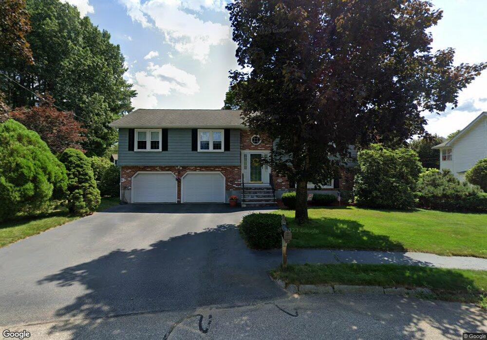
45 Benton Cir Reading, MA 01867
Estimated Value: $853,844 - $891,000
3
Beds
3
Baths
1,468
Sq Ft
$595/Sq Ft
Est. Value
About This Home
This home is located at 45 Benton Cir, Reading, MA 01867 and is currently estimated at $873,961, approximately $595 per square foot. 45 Benton Cir is a home located in Middlesex County with nearby schools including Birch Meadow Elementary School, Arthur W. Coolidge Middle School, and Reading Memorial High School.
Ownership History
Date
Name
Owned For
Owner Type
Purchase Details
Closed on
Jul 14, 1989
Sold by
Hurley Brian M
Bought by
Sciortino Louis C
Current Estimated Value
Home Financials for this Owner
Home Financials are based on the most recent Mortgage that was taken out on this home.
Original Mortgage
$115,000
Interest Rate
10.39%
Mortgage Type
Purchase Money Mortgage
Create a Home Valuation Report for This Property
The Home Valuation Report is an in-depth analysis detailing your home's value as well as a comparison with similar homes in the area
Home Values in the Area
Average Home Value in this Area
Purchase History
| Date | Buyer | Sale Price | Title Company |
|---|---|---|---|
| Sciortino Louis C | $253,000 | -- |
Source: Public Records
Mortgage History
| Date | Status | Borrower | Loan Amount |
|---|---|---|---|
| Open | Sciortino Louis C | $30,000 | |
| Closed | Sciortino Louis C | $40,000 | |
| Closed | Sciortino Louis C | $44,000 | |
| Closed | Sciortino Louis C | $115,000 |
Source: Public Records
Tax History Compared to Growth
Tax History
| Year | Tax Paid | Tax Assessment Tax Assessment Total Assessment is a certain percentage of the fair market value that is determined by local assessors to be the total taxable value of land and additions on the property. | Land | Improvement |
|---|---|---|---|---|
| 2025 | $9,217 | $809,200 | $493,500 | $315,700 |
| 2024 | $9,110 | $777,300 | $474,000 | $303,300 |
| 2023 | $8,826 | $701,000 | $427,400 | $273,600 |
| 2022 | $8,495 | $637,300 | $388,500 | $248,800 |
| 2021 | $8,536 | $618,100 | $372,300 | $245,800 |
| 2020 | $8,207 | $588,300 | $354,300 | $234,000 |
| 2019 | $7,974 | $560,400 | $337,500 | $222,900 |
| 2018 | $6,939 | $528,600 | $318,300 | $210,300 |
| 2017 | $6,995 | $498,600 | $300,200 | $198,400 |
| 2016 | $7,147 | $492,900 | $300,700 | $192,200 |
| 2015 | $6,696 | $455,500 | $277,800 | $177,700 |
| 2014 | $6,487 | $440,100 | $268,400 | $171,700 |
Source: Public Records
Map
Nearby Homes
- 444 Lowell St
- 3 Bradford Rd
- 452 Lowell St
- 33 Marla Ln
- 23 Covey Hill Rd
- 28 Martin Rd
- 25 Martin Rd
- 483 Franklin St
- 195 Lowell St
- 2 Inwood Dr Unit 1010
- 144 Johnson Woods Dr
- 141 Johnson Woods Dr
- 42 Winthrop Ave
- 75 Johnson Woods Dr Unit 75
- 16 Glen Rd
- 17 Palmer Hill Ave
- 16 Taylor Dr Unit 1010
- 16 Taylor Dr Unit 1009
- 18 Talbot Ln Unit 18
- 101 King St Unit 101