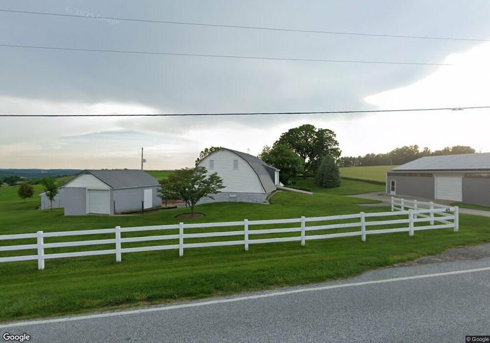
45 Blymire Rd Dallastown, PA 17313
Estimated Value: $499,000 - $881,768
4
Beds
3
Baths
2,811
Sq Ft
$246/Sq Ft
Est. Value
About This Home
This home is located at 45 Blymire Rd, Dallastown, PA 17313 and is currently estimated at $690,384, approximately $245 per square foot. 45 Blymire Rd is a home located in York County with nearby schools including York Township Elementary School, Dallastown Area Middle School, and Dallastown Area High School.
Ownership History
Date
Name
Owned For
Owner Type
Purchase Details
Closed on
Dec 28, 2006
Sold by
Brant John S and Brant Ruth A
Bought by
Brant Thomas R and Brant Ruth Ann
Current Estimated Value
Home Financials for this Owner
Home Financials are based on the most recent Mortgage that was taken out on this home.
Original Mortgage
$417,510
Interest Rate
6.29%
Mortgage Type
New Conventional
Purchase Details
Closed on
Mar 1, 1981
Bought by
Brant John S and Brant Ruth A
Create a Home Valuation Report for This Property
The Home Valuation Report is an in-depth analysis detailing your home's value as well as a comparison with similar homes in the area
Home Values in the Area
Average Home Value in this Area
Purchase History
| Date | Buyer | Sale Price | Title Company |
|---|---|---|---|
| Brant Thomas R | -- | None Available | |
| Brant John S | -- | -- |
Source: Public Records
Mortgage History
| Date | Status | Borrower | Loan Amount |
|---|---|---|---|
| Closed | Brant Thomas R | $417,510 |
Source: Public Records
Tax History Compared to Growth
Tax History
| Year | Tax Paid | Tax Assessment Tax Assessment Total Assessment is a certain percentage of the fair market value that is determined by local assessors to be the total taxable value of land and additions on the property. | Land | Improvement |
|---|---|---|---|---|
| 2025 | $9,835 | $286,520 | $9,860 | $276,660 |
| 2024 | $9,692 | $286,520 | $9,860 | $276,660 |
| 2023 | $9,692 | $286,520 | $9,860 | $276,660 |
| 2022 | $9,375 | $286,520 | $9,860 | $276,660 |
| 2021 | $8,931 | $286,520 | $9,860 | $276,660 |
| 2020 | $8,931 | $286,520 | $9,860 | $276,660 |
| 2019 | $8,902 | $286,520 | $9,860 | $276,660 |
| 2018 | $8,842 | $286,520 | $9,860 | $276,660 |
| 2017 | $8,490 | $286,520 | $9,860 | $276,660 |
| 2016 | $0 | $286,520 | $9,860 | $276,660 |
| 2015 | -- | $285,620 | $8,960 | $276,660 |
| 2014 | -- | $284,800 | $8,140 | $276,660 |
Source: Public Records
Map
Nearby Homes
- 0 Lot 15 Gary Dr
- 18 E Howard St
- 79 S Franklin St
- 53 S Franklin St
- 705 Summit Dr
- 263 W Main St
- 786 Arbor Dr
- 117 S Park St
- 2960 Starfire Dr
- 430 E Maple St
- 2981 Sunset Dr
- 1 N Duke St
- 2900 Ironstone Hill Rd
- 260 Country Ridge Dr
- 250 Country Ridge Dr
- 680 Hampstead Ct
- 630 Woodland Ave
- 197 S Main St
- 0 Swamp Hollow Ln
- 175 Country Ridge Dr
- 80 Blymire Rd
- 810 S Pleasant Ave
- 785 New School Ln
- 765 New School Ln
- 810 New School Ln
- 101 Brant Dr
- 800 New School Ln
- 845 S Pleasant Ave
- 820 New School Ln
- 106 Brant Dr
- 260 Melvale Rd
- 107 Blymire Rd
- 715 S Pleasant Ave
- 107 Brant Dr
- 745 New School Ln
- 112 Brant Dr
- 250 Melvale Rd
- 830 New School Ln
- 113 Blymire Rd
- 705 S Pleasant Ave