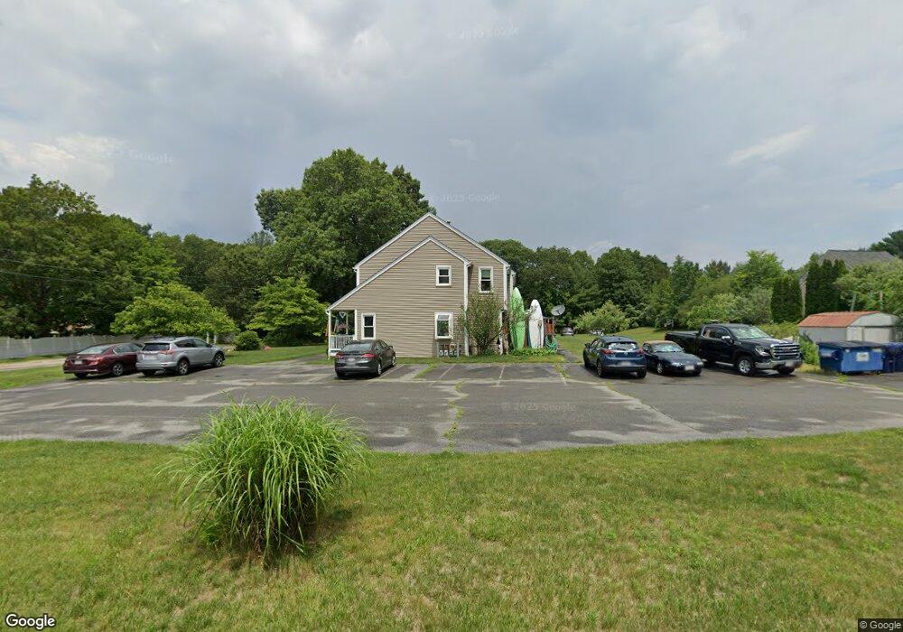
45 Boston Rd Unit B Sutton, MA 01590
Estimated Value: $325,000 - $391,000
2
Beds
2
Baths
1,494
Sq Ft
$238/Sq Ft
Est. Value
About This Home
This home is located at 45 Boston Rd Unit B, Sutton, MA 01590 and is currently estimated at $355,540, approximately $237 per square foot. 45 Boston Rd Unit B is a home located in Worcester County with nearby schools including Sutton Elementary School, Sutton Middle School, and Sutton High School.
Ownership History
Date
Name
Owned For
Owner Type
Purchase Details
Closed on
Nov 3, 2021
Sold by
King Jo Ann L
Bought by
King David F and King Jo Ann
Current Estimated Value
Purchase Details
Closed on
Dec 13, 2011
Sold by
Love Jo-Ann L
Bought by
Love Joann L
Home Financials for this Owner
Home Financials are based on the most recent Mortgage that was taken out on this home.
Original Mortgage
$166,800
Interest Rate
4.09%
Mortgage Type
Purchase Money Mortgage
Purchase Details
Closed on
May 15, 1992
Sold by
Pleasantdale Corp
Bought by
Gorman Joann L
Create a Home Valuation Report for This Property
The Home Valuation Report is an in-depth analysis detailing your home's value as well as a comparison with similar homes in the area
Home Values in the Area
Average Home Value in this Area
Purchase History
| Date | Buyer | Sale Price | Title Company |
|---|---|---|---|
| King David F | -- | None Available | |
| Love Joann L | -- | -- | |
| Gorman Joann L | $69,900 | -- |
Source: Public Records
Mortgage History
| Date | Status | Borrower | Loan Amount |
|---|---|---|---|
| Previous Owner | Love Joann L | $166,800 | |
| Previous Owner | Gorman Joann L | $110,000 | |
| Previous Owner | Gorman Joann L | $27,500 | |
| Previous Owner | Gorman Joann L | $104,000 |
Source: Public Records
Map
Nearby Homes
- 66 Buttonwood Ave
- 20 Millers Way Unit C
- 150 Ariel Cir
- 5 Wildflower Dr
- 175 Armsby Rd
- 229 Worcester-Providence Turnpike
- 90 Leland Hill Rd
- 53 Fisherville Terrace
- 82 Central Turnpike
- 64 Fisherville Terrace
- 62 Fisherville Terrace
- 58 Fisherville Terrace
- 99 Burbank Road Lot 182
- 99 Burbank Rd
- 191 Hartness Rd
- 8 Autumn Gate Cir
- Lot 1 Cooper Rd
- 1 Burbank Rd
- 5 Mogren Dr
- 9 Danielle Dr
- 45 Boston Rd Unit D
- 45 Boston Rd Unit C
- 45 Boston Rd Unit A
- 7 Hillside Dr
- 41 Boston Rd Unit D
- 41 Boston Rd Unit C
- 41 Boston Rd Unit B
- 41 Boston Rd Unit A
- 41 Boston Rd Unit C,41
- 41 Boston Rd Unit 2-C
- 41 Boston Rd Unit C
- 6 Hillside Dr
- 4 Hillside Dr
- 44 Boston Rd
- 49 Boston Rd
- 8 Hillside Dr
- 46 Boston Rd
- 42 Boston Rd
- 9 Hillside Dr
- 51 Boston Rd
Your Personal Tour Guide
Ask me questions while you tour the home.