45 Bridge St Albany, NH 03818
Estimated Value: $389,000 - $484,000
About This Home
This home is located at 45 Bridge St, Albany, NH 03818 and is currently estimated at $444,596, approximately $286 per square foot. 45 Bridge St is a home with nearby schools including Robert Frost Charter School.
Ownership History
We collect this data history from publicly available records. To have your information removed, we recommend requesting removal directly through your county’s website.
Purchase Details
Purchase Details
Purchase History
We collect this data history from publicly available records. To have your information removed, we recommend requesting removal directly through your county’s website.
| Date | Buyer | Sale Price | Title Company |
|---|---|---|---|
| $92,533 | None Available | ||
| -- | -- |
Tax History
We collect this data history from publicly available records. To have your information removed, we recommend requesting removal directly through your county’s website.
| Year | Tax Paid | Tax Assessment Tax Assessment Total Assessment is a certain percentage of the fair market value that is determined by local assessors to be the total taxable value of land and additions on the property. | Land | Improvement |
|---|---|---|---|---|
| 2025 | $2,826 | $404,300 | $109,900 | $294,400 |
| 2024 | $2,272 | $248,600 | $75,100 | $173,500 |
| 2023 | $2,506 | $248,600 | $75,100 | $173,500 |
| 2022 | $0 | $231,500 | $75,100 | $156,400 |
| 2021 | $0 | $230,200 | $75,100 | $155,100 |
| 2020 | $0 | $230,200 | $75,100 | $155,100 |
| 2019 | $0 | $209,000 | $64,800 | $144,200 |
| 2018 | $3,104 | $209,000 | $64,800 | $144,200 |
| 2017 | $3,536 | $209,000 | $64,800 | $144,200 |
| 2016 | $2,613 | $209,000 | $64,800 | $144,200 |
| 2015 | $2,456 | $209,000 | $64,800 | $144,200 |
| 2014 | $2,686 | $210,300 | $64,800 | $145,500 |
| 2013 | $2,212 | $185,700 | $64,800 | $120,900 |
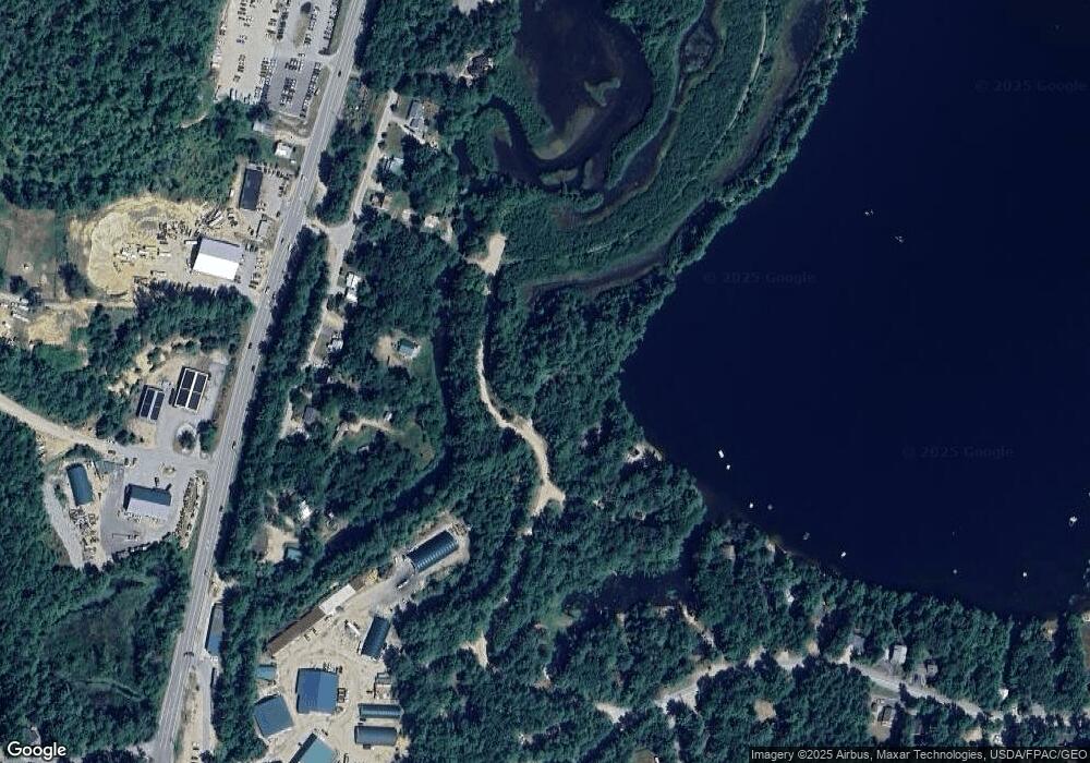
Map
- 170 Mountain View Dr
- 00 B St Unit 58
- 00 B St Unit 63
- 00 B St Unit 62
- 00 B St Unit 60
- 00 B St Unit 59
- 00 B St Unit 61
- 00 C St Unit 51
- 83 Tabor Cir
- 0 Brookside St Unit 33+27.1(part)
- 00 Brookside St Unit 34+27.1(part)
- 48 Bald Hill Rd
- 80 Bald Hill Rd
- Lot 42,43,44,49 G St
- 106 Fairview Ave
- 470 Tasker Hill Rd
- 17 Klausen Rd
- 51 Pequawket Dr
- 15 Klausen Rd
- 113 Oxbow Ln
- 49 Bridge St
- 18 Crow Ln
- 14 Crow Ln
- 28 Bridge St
- 53 Bridge St
- 26 Brookside Ave
- 730 Pequawket Dr
- 30 Brookside Ave
- 17 Bridge St
- 22 Brookside Ave
- 28 Brookside Ave
- 20 Brookside Ave
- 750 Pequawket Dr
- 65 Cranmore Shores Rd
- 75 Bridge St
- 740 Pequawket Dr
- 720 Pequawket Dr
- 14 Brookside Ave
- -- Brookside
- 42 Brookside Ave
Ask me questions while you tour the home.