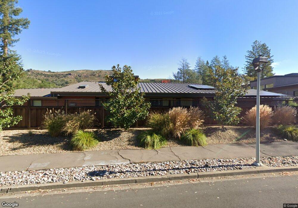
45 Burning Tree Ct Napa, CA 94558
Silverado Resort NeighborhoodEstimated Value: $1,887,000 - $2,636,175
About This Home
This home is located at 45 Burning Tree Ct, Napa, CA 94558 and is currently estimated at $2,341,294, approximately $675 per square foot. 45 Burning Tree Ct is a home located in Napa County with nearby schools including Vichy Elementary School, Silverado Middle School, and Vintage High School.
Ownership History
We collect this data history from publicly available records. To have your information removed, we recommend requesting removal directly through your county’s website.
Purchase Details
Purchase Details
Home Financials for this Owner
Home Financials are based on the most recent Mortgage that was taken out on this home.Purchase Details
Home Financials for this Owner
Home Financials are based on the most recent Mortgage that was taken out on this home.Home Values in the Area
Average Home Value in this Area
Purchase History
We collect this data history from publicly available records. To have your information removed, we recommend requesting removal directly through your county’s website.
| Date | Buyer | Sale Price | Title Company |
|---|---|---|---|
| -- | None Available | ||
| -- | First American Title Co Napa | ||
| $1,350,000 | First American Title Co Napa |
Mortgage History
We collect this data history from publicly available records. To have your information removed, we recommend requesting removal directly through your county’s website.
| Date | Status | Borrower | Loan Amount |
|---|---|---|---|
| Open | $1,012,500 |
Tax History
We collect this data history from publicly available records. To have your information removed, we recommend requesting removal directly through your county’s website.
| Year | Tax Paid | Tax Assessment Tax Assessment Total Assessment is a certain percentage of the fair market value that is determined by local assessors to be the total taxable value of land and additions on the property. | Land | Improvement |
|---|---|---|---|---|
| 2025 | $21,511 | $1,836,713 | $745,460 | $1,091,253 |
| 2024 | $20,779 | $1,800,700 | $730,844 | $1,069,856 |
| 2023 | $20,779 | $1,765,393 | $716,514 | $1,048,879 |
| 2022 | $20,118 | $1,730,778 | $702,465 | $1,028,313 |
| 2021 | $19,263 | $1,646,335 | $688,692 | $957,643 |
| 2020 | $12,863 | $1,065,944 | $681,631 | $384,313 |
| 2019 | $8,016 | $650,000 | $650,000 | $0 |
| 2018 | $7,582 | $668,266 | $668,266 | $0 |
| 2017 | $19,878 | $1,684,708 | $655,163 | $1,029,545 |
| 2016 | $18,840 | $1,585,000 | $600,000 | $985,000 |
| 2015 | $15,237 | $1,337,000 | $520,000 | $817,000 |
| 2014 | $15,310 | $1,337,000 | $520,000 | $817,000 |
Map
- 389 Saint Andrews Dr
- 418 Saint Andrews Dr
- 808 Augusta Cir
- 530 Westgate Dr
- 850 Acorn Way
- 843 Acorn Way
- 535 Westgate Dr
- 936 Augusta Cir
- 548 Westgate Dr
- 1166 Castle Oaks Dr
- 111 Stone Mountain Cir
- 1161 Castle Oaks Dr
- 1150 Castle Oaks Dr
- 421 Bear Creek Cir
- 377 Troon Dr
- 120 Milliken Creek Dr
- 1600 Atlas Peak Rd Unit 453
- 31 Fairways Dr
- 13 Fairways Dr
- 2863 Atlas Peak Rd
- 41 Burning Tree Ct
- 2701 Hillcrest Dr
- 26 Inverness Dr
- 37 Burning Tree Ct
- 20 Inverness Dr
- 48 Burning Tree Ct
- 2710 Hillcrest Dr
- 33 Burning Tree Ct
- 2700 Hillcrest Dr
- 14 Inverness Dr
- 406 Saint Andrews Dr
- 44 Burning Tree Ct
- 2691 Hillcrest Dr
- 2800 Hillcrest Dr
- 19 Inverness Dr
- 410 Saint Andrews Dr
- 13 Inverness Dr
- 29 Burning Tree Ct
- 40 Burning Tree Ct
- 414 Saint Andrews Dr
Ask me questions while you tour the home.