45 Carter Rd Westminster, MA 01473
Estimated Value: $609,112 - $643,000
3
Beds
3
Baths
2,083
Sq Ft
$302/Sq Ft
Est. Value
About This Home
This home is located at 45 Carter Rd, Westminster, MA 01473 and is currently estimated at $628,278, approximately $301 per square foot. 45 Carter Rd is a home located in Worcester County with nearby schools including Oakmont Regional High School and Wachusett Hills Christian School.
Ownership History
Date
Name
Owned For
Owner Type
Purchase Details
Closed on
Oct 22, 2024
Sold by
Lawlor Martin P and Lawlor Patricia
Bought by
Marty & Patty Lawlor Ft and Lawlor
Current Estimated Value
Purchase Details
Closed on
Nov 14, 2011
Sold by
Griggs Edith M
Bought by
Bacon Nancy G
Create a Home Valuation Report for This Property
The Home Valuation Report is an in-depth analysis detailing your home's value as well as a comparison with similar homes in the area
Home Values in the Area
Average Home Value in this Area
Purchase History
| Date | Buyer | Sale Price | Title Company |
|---|---|---|---|
| Marty & Patty Lawlor Ft | -- | None Available | |
| Bacon Nancy G | -- | -- |
Source: Public Records
Tax History Compared to Growth
Tax History
| Year | Tax Paid | Tax Assessment Tax Assessment Total Assessment is a certain percentage of the fair market value that is determined by local assessors to be the total taxable value of land and additions on the property. | Land | Improvement |
|---|---|---|---|---|
| 2025 | $6,079 | $494,200 | $145,600 | $348,600 |
| 2024 | $5,848 | $477,000 | $145,600 | $331,400 |
| 2023 | $5,976 | $457,600 | $136,100 | $321,500 |
| 2022 | $5,912 | $374,200 | $119,800 | $254,400 |
| 2021 | $5,864 | $349,900 | $106,000 | $243,900 |
| 2020 | $5,767 | $328,600 | $97,400 | $231,200 |
| 2019 | $2,249 | $314,000 | $82,800 | $231,200 |
| 2018 | $5,430 | $292,700 | $82,800 | $209,900 |
| 2017 | $1,840 | $292,700 | $82,800 | $209,900 |
| 2016 | $5,270 | $280,600 | $70,700 | $209,900 |
| 2015 | $5,088 | $268,500 | $70,700 | $197,800 |
| 2014 | $5,096 | $268,500 | $70,700 | $197,800 |
Source: Public Records
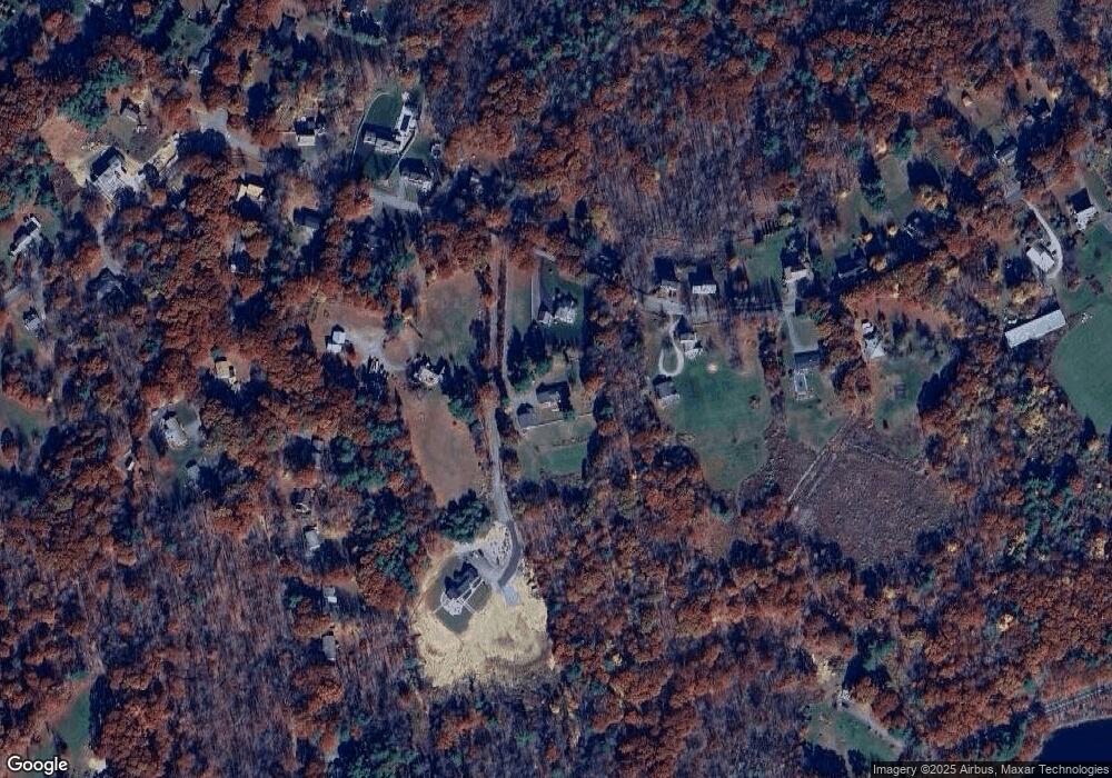
Map
Nearby Homes
- Lot A Frog Hollow Rd
- 4 Tandem Dr
- 17 Leominster St
- 240-Lot 2 Davis Rd
- 21 Davis Rd
- 0 Worcester Rd Unit 73326124
- 13 Elliott St
- 26 W Main St
- 0 Minott Rd
- 45 Bacon St
- 2 Old Town Farm Rd
- 100A W Main St
- 51 State Rd E
- 5 Linda Dr Unit The Connor
- 29 Shady Ave
- 82 Narrows Rd
- 25 Newcomb Rd
- 73 N Common Rd
- 29 Sunset Rd
- 25 Sunset Rd