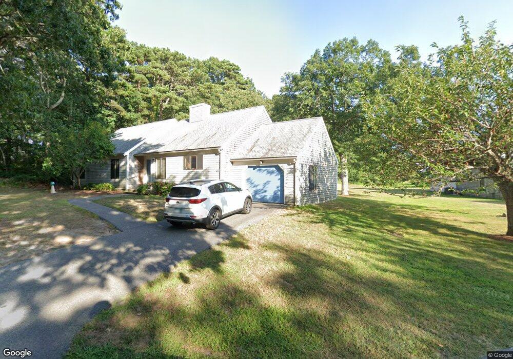
45 Cherrywood Ln Brewster, MA 02631
Estimated Value: $474,318 - $896,000
3
Beds
2
Baths
1,483
Sq Ft
$406/Sq Ft
Est. Value
About This Home
This home is located at 45 Cherrywood Ln, Brewster, MA 02631 and is currently estimated at $602,080, approximately $405 per square foot. 45 Cherrywood Ln is a home located in Barnstable County with nearby schools including Stony Brook Elementary School, Eddy Elementary School, and Nauset Regional Middle School.
Ownership History
Date
Name
Owned For
Owner Type
Purchase Details
Closed on
Jul 11, 2018
Sold by
Moreira Thelma F
Bought by
Mateus Bernadette
Current Estimated Value
Purchase Details
Closed on
Dec 27, 2012
Sold by
Dagher Marianne R
Bought by
Sumday Vacations
Purchase Details
Closed on
Sep 16, 2005
Sold by
Beckett Ardyne E and Beckett Ronald K
Bought by
Scott Roberta J
Purchase Details
Closed on
Aug 3, 2005
Sold by
Wilner Jane P and Wilner Mark E
Bought by
Tinker Harold D
Purchase Details
Closed on
Jul 9, 2004
Sold by
Mcclure Beverly R and Harrison Vivian
Bought by
Hayes Ellin A
Create a Home Valuation Report for This Property
The Home Valuation Report is an in-depth analysis detailing your home's value as well as a comparison with similar homes in the area
Home Values in the Area
Average Home Value in this Area
Purchase History
| Date | Buyer | Sale Price | Title Company |
|---|---|---|---|
| Mateus Bernadette | -- | -- | |
| Sumday Vacations | -- | -- | |
| Scott Roberta J | $500 | -- | |
| Tinker Harold D | $15,500 | -- | |
| Hayes Ellin A | $15,900 | -- |
Source: Public Records
Tax History Compared to Growth
Tax History
| Year | Tax Paid | Tax Assessment Tax Assessment Total Assessment is a certain percentage of the fair market value that is determined by local assessors to be the total taxable value of land and additions on the property. | Land | Improvement |
|---|---|---|---|---|
| 2025 | $2,673 | $388,500 | $0 | $388,500 |
| 2024 | $2,500 | $367,100 | $0 | $367,100 |
| 2023 | $2,325 | $332,600 | $0 | $332,600 |
| 2022 | $2,103 | $267,900 | $0 | $267,900 |
| 2021 | $2,097 | $244,400 | $0 | $244,400 |
| 2020 | $2,071 | $240,200 | $0 | $240,200 |
| 2019 | $2,006 | $233,800 | $0 | $233,800 |
| 2018 | $1,843 | $223,100 | $0 | $223,100 |
| 2017 | $1,773 | $211,300 | $0 | $211,300 |
| 2016 | $1,748 | $207,400 | $0 | $207,400 |
| 2015 | $1,673 | $202,500 | $0 | $202,500 |
Source: Public Records
Map
Nearby Homes
- 60 Fletcher Ln Unit H
- 60 Fletcher Ln Unit C
- 61 Fletcher Ln Unit H
- 62 Fletcher Ln Unit N
- 81 Fletcher Ln Unit I
- 81 Fletcher Ln Unit C
- 80 Fletcher Ln Unit E
- 100 Fletcher Ln Unit E
- 82 Fletcher Ln Unit I
- 277 Lund Farm Way
- 105 Middlecott Ln Unit 105
- 6 Trevor Ln Unit 6
- 6 Trevor Ln Unit 6
- 82 Middlecott Ln
- 28 Middlecott Ln
- 104 Howland Cir Unit 104
- 38 Eaton Ln Unit 38
- 137 Eaton Ln
- 46 Court Way
- 88 Eaton Ln Unit 88
- 47 Cherrywood Ln
- 43 Cherrywood Ln
- 41 Cherrywood Ln
- 39 Cherrywood Ln
- 37 Cherrywood Ln
- 51 Cherrywood Ln
- 100 S Pond Dr
- 35 Cherrywood Ln
- 33 Cherrywood Ln
- 122 S Pond Dr
- 88 S Pond Dr
- 5 Cherrywood Ln
- 21 Cherrywood Ln
- 19 Cherrywood Ln
- 15 Cherrywood Ln
- 13 Cherrywood Ln
- 31 Cherrywood Ln
- 29 Cherrywood Ln
- 27 Cherrywood Ln
- 25 Cherrywood Ln