45 Circuit Rd Cape Neddick, ME 03902
Ogunquit NeighborhoodEstimated Value: $1,302,000 - $1,574,000
3
Beds
3
Baths
1,171
Sq Ft
$1,223/Sq Ft
Est. Value
About This Home
This home is located at 45 Circuit Rd, Cape Neddick, ME 03902 and is currently estimated at $1,432,081, approximately $1,222 per square foot. 45 Circuit Rd is a home located in York County with nearby schools including Coastal Ridge Elementary School, Village Elementary School, and York Middle School.
Ownership History
Date
Name
Owned For
Owner Type
Purchase Details
Closed on
May 29, 2024
Sold by
Slemp Gregory D and Slemp James F
Bought by
Slemp John C
Current Estimated Value
Purchase Details
Closed on
Aug 30, 2022
Sold by
Ridgely-Slemp Ellen
Bought by
Slemp John C
Purchase Details
Closed on
Feb 1, 2008
Sold by
Gress Sue S
Bought by
Slemp James F and Slemp 3Rd John Calvin
Create a Home Valuation Report for This Property
The Home Valuation Report is an in-depth analysis detailing your home's value as well as a comparison with similar homes in the area
Home Values in the Area
Average Home Value in this Area
Purchase History
| Date | Buyer | Sale Price | Title Company |
|---|---|---|---|
| Slemp John C | -- | None Available | |
| Slemp John C | -- | None Available | |
| Slemp John C | -- | None Available | |
| Slemp John C | -- | None Available | |
| Slemp John C | -- | None Available | |
| Slemp John C | -- | None Available | |
| Slemp John C | -- | None Available | |
| Slemp John C | -- | None Available | |
| Slemp James F | -- | -- | |
| Slemp James F | -- | -- |
Source: Public Records
Tax History
| Year | Tax Paid | Tax Assessment Tax Assessment Total Assessment is a certain percentage of the fair market value that is determined by local assessors to be the total taxable value of land and additions on the property. | Land | Improvement |
|---|---|---|---|---|
| 2024 | $9,802 | $1,166,900 | $948,600 | $218,300 |
| 2023 | $6,832 | $808,500 | $590,200 | $218,300 |
| 2022 | $7,447 | $871,000 | $677,200 | $193,800 |
| 2021 | $6,540 | $657,300 | $487,600 | $169,700 |
| 2020 | $4,923 | $443,500 | $303,500 | $140,000 |
| 2019 | $4,945 | $443,500 | $303,500 | $140,000 |
| 2018 | $1,234 | $430,800 | $290,900 | $139,900 |
| 2017 | $4,682 | $427,600 | $297,200 | $130,400 |
| 2016 | $4,768 | $427,600 | $297,200 | $130,400 |
| 2015 | $4,565 | $415,000 | $284,600 | $130,400 |
| 2014 | $4,441 | $415,000 | $284,600 | $130,400 |
| 2013 | $4,328 | $415,000 | $284,600 | $130,400 |
Source: Public Records
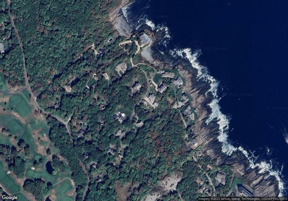
Map
Nearby Homes
- 90 Bald Head Cliff Rd
- 62 Pine Hill Rd S Unit 101
- 350 Pine Hill Rd
- 413 Shore Rd
- 0 Cooley Ln
- 15 Cooley Ln
- 67 Cherry Ln
- 33 Rocky Ln
- 55 Israel Head Rd Unit 203
- 1 Ruby Rd
- 200 Shore Rd
- 35 Main St Unit 9
- 20 Zoe's Way
- 16 Zoe's Way
- 141 Logging Rd
- 25 Shore Rd Unit A
- 20 Shore Rd Unit 2A,B,C,D
- 14 Maple St
- 14 Valleybrook Rd Unit 14
- 444 Main St Unit 112
Your Personal Tour Guide
Ask me questions while you tour the home.