45 Cooksey Ln Michie, TN 38357
Estimated Value: $59,376 - $151,000
--
Bed
1
Bath
925
Sq Ft
$117/Sq Ft
Est. Value
About This Home
This home is located at 45 Cooksey Ln, Michie, TN 38357 and is currently estimated at $108,594, approximately $117 per square foot. 45 Cooksey Ln is a home located in Hardin County with nearby schools including Hardin County High School.
Ownership History
Date
Name
Owned For
Owner Type
Purchase Details
Closed on
Jul 30, 2020
Sold by
Cooksey Jimmy and Cooksey Iva Tommy
Bought by
Cooksey Andrea
Current Estimated Value
Purchase Details
Closed on
Apr 22, 2008
Sold by
Jimmy Cooksey
Bought by
Cooksey Billy R
Purchase Details
Closed on
Dec 8, 2007
Sold by
Cooksey Jimmy M
Bought by
Jimmy Cooksey
Purchase Details
Closed on
Jun 15, 2007
Sold by
Jimmy Cooksey
Bought by
Cooksey Jimmy M
Purchase Details
Closed on
Mar 2, 1995
Sold by
Bob Kennedy
Bought by
Jimmy Coaksey
Purchase Details
Closed on
May 24, 1991
Bought by
Cooksey Virgil
Purchase Details
Closed on
Nov 24, 1981
Bought by
Cooksey Virgil
Create a Home Valuation Report for This Property
The Home Valuation Report is an in-depth analysis detailing your home's value as well as a comparison with similar homes in the area
Home Values in the Area
Average Home Value in this Area
Purchase History
| Date | Buyer | Sale Price | Title Company |
|---|---|---|---|
| Cooksey Andrea | -- | None Available | |
| Cooksey Billy R | $18,000 | -- | |
| Jimmy Cooksey | -- | -- | |
| Cooksey Jimmy M | -- | -- | |
| Jimmy Coaksey | $14,000 | -- | |
| Cooksey Virgil | $6,000 | -- | |
| Cooksey Virgil | -- | -- |
Source: Public Records
Tax History Compared to Growth
Tax History
| Year | Tax Paid | Tax Assessment Tax Assessment Total Assessment is a certain percentage of the fair market value that is determined by local assessors to be the total taxable value of land and additions on the property. | Land | Improvement |
|---|---|---|---|---|
| 2024 | $179 | $10,250 | $1,125 | $9,125 |
| 2023 | $179 | $10,250 | $1,125 | $9,125 |
| 2022 | $131 | $6,375 | $1,250 | $5,125 |
| 2021 | $131 | $6,375 | $1,250 | $5,125 |
| 2020 | $131 | $6,375 | $1,250 | $5,125 |
| 2019 | $131 | $6,375 | $1,250 | $5,125 |
| 2018 | $127 | $6,375 | $1,250 | $5,125 |
| 2017 | $123 | $5,925 | $1,250 | $4,675 |
| 2016 | $123 | $5,925 | $1,250 | $4,675 |
| 2015 | $108 | $5,925 | $1,250 | $4,675 |
| 2014 | $103 | $5,675 | $1,250 | $4,425 |
Source: Public Records
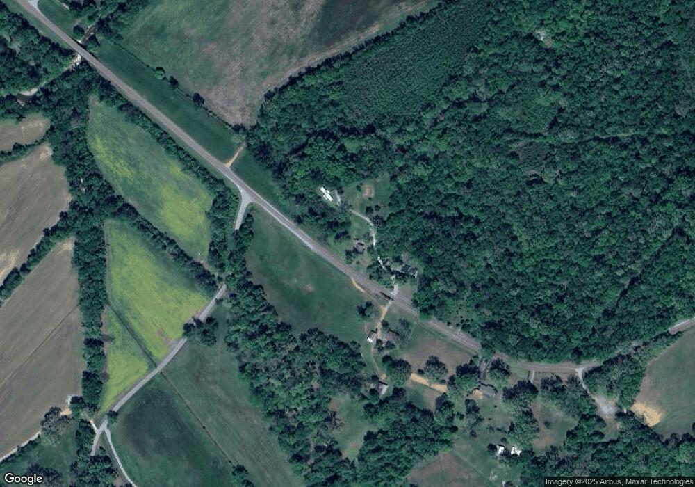
Map
Nearby Homes
- 11200 Highway 142
- 11200 Highway 142
- 00 Tennessee 142
- 10135 142 Hwy
- 455 Bark Dr
- 0 Tennessee 142
- 00 Fisher Ln
- 0 Fisher Ln
- 465 Caney Branch Rd
- 8382 Highway 142
- 1293 Tennessee 22
- 3360 Coffee Landing Rd
- 185 Baxter Rd
- 1795 Caney Branch Rd
- 0 Baxter Rd
- 230 Silver Water Ln
- 410 Gladden Rd
- 255 Rock Pile Ln
- 4265 Charlie Pounds Rd
- 2845 Gilchrist Stantonville Rd
- 575 Highway 142
- 75 Hog Ln
- 580 Highway 142
- 635 Highway 142
- 680 Highway 142
- 271 Shiloh Rd
- 545 Shiloh Rd
- 44 Owl Creek Dr
- 622 Shiloh Rd
- 107 Owl Creek Dr
- 116 Owl Creek Dr
- 828 Lawrence Sowell Rd
- 832 Shiloh Rd
- 897 Lawrence Sowell Rd
- 28 Sowell Ln
- 542 W Shiloh Church Rd
- 542 W Shiloh Church Rd
- 11039 Highway 142
- 506 W Shiloh Church Rd
- 118 Pratt Ln