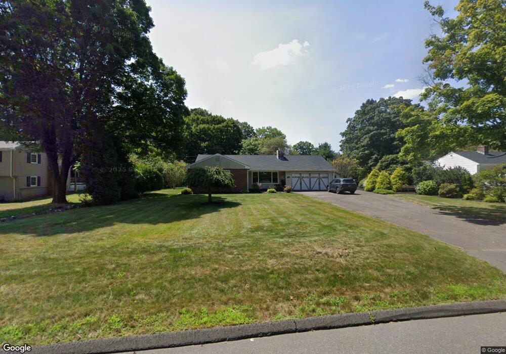
45 Copper Mine Rd Farmington, CT 06032
Estimated Value: $414,377 - $486,000
3
Beds
2
Baths
1,668
Sq Ft
$273/Sq Ft
Est. Value
About This Home
This home is located at 45 Copper Mine Rd, Farmington, CT 06032 and is currently estimated at $454,594, approximately $272 per square foot. 45 Copper Mine Rd is a home located in Hartford County with nearby schools including West Woods Upper Elementary School, Irving A. Robbins Middle School, and Farmington High School.
Ownership History
Date
Name
Owned For
Owner Type
Purchase Details
Closed on
Jul 18, 2019
Sold by
Kirchhoff Wendy A
Bought by
Valley Residential Group
Current Estimated Value
Home Financials for this Owner
Home Financials are based on the most recent Mortgage that was taken out on this home.
Original Mortgage
$180,000
Outstanding Balance
$157,696
Interest Rate
3.82%
Mortgage Type
New Conventional
Estimated Equity
$296,898
Create a Home Valuation Report for This Property
The Home Valuation Report is an in-depth analysis detailing your home's value as well as a comparison with similar homes in the area
Home Values in the Area
Average Home Value in this Area
Purchase History
| Date | Buyer | Sale Price | Title Company |
|---|---|---|---|
| Valley Residential Group | $149,600 | -- |
Source: Public Records
Mortgage History
| Date | Status | Borrower | Loan Amount |
|---|---|---|---|
| Open | Valley Residential Group | $180,000 |
Source: Public Records
Tax History Compared to Growth
Tax History
| Year | Tax Paid | Tax Assessment Tax Assessment Total Assessment is a certain percentage of the fair market value that is determined by local assessors to be the total taxable value of land and additions on the property. | Land | Improvement |
|---|---|---|---|---|
| 2025 | $6,118 | $229,810 | $86,380 | $143,430 |
| 2024 | $5,849 | $229,810 | $86,380 | $143,430 |
| 2023 | $5,564 | $229,810 | $86,380 | $143,430 |
| 2022 | $4,825 | $164,570 | $75,280 | $89,290 |
| 2021 | $4,741 | $164,570 | $75,280 | $89,290 |
| 2020 | $4,603 | $164,570 | $75,280 | $89,290 |
| 2019 | $4,603 | $164,570 | $75,280 | $89,290 |
| 2018 | $4,473 | $164,570 | $75,280 | $89,290 |
| 2017 | $4,580 | $171,680 | $82,190 | $89,490 |
| 2016 | $4,426 | $171,680 | $82,190 | $89,490 |
| 2015 | $4,294 | $171,680 | $82,190 | $89,490 |
| 2014 | $4,195 | $171,660 | $82,180 | $89,480 |
Source: Public Records
Map
Nearby Homes
- 4 Locust Ln
- 11 Locust Ln
- 20 Farm Dr
- 6 Cypress Trail
- 5 Rocky Ridge Ln
- 9 Meadow Ln
- 6 Le Jardin Way
- 5 Le Jardin Way
- 4 Grandview Dr Unit 49A
- 67 Mallard Dr
- 20 Greenbriar Dr Unit H
- 11 Wildcat Dr
- 267 New Britain Ave
- 1622 Farmington Ave Unit 4
- 243 New Britain Ave Unit 243
- 1 Sable Ct
- 6 Burlington Rd
- 224 New Britain Ave Unit 14
- 14 Springwood Rd
- 5 Mallard Dr
- 41 Copper Mine Rd
- 47 Copper Mine Rd
- 39 Copper Mine Rd
- 1 Kent Ln
- 46 Coppermine Rd
- 1 Paper Chase Dr
- 4 Kent Ln
- 51 Copper Mine Rd
- 35 Copper Mine Rd
- 3 Paper Chase Dr
- 6 Kent Ln
- 162 Red Oak Hill Rd
- 152 Red Oak Hill Rd
- 33 Copper Mine Rd
- 55 Copper Mine Rd
- 2 Kent Ln
- 8 Kent Ln
- 156 Red Oak Hill Rd
- 150 Red Oak Hill Rd