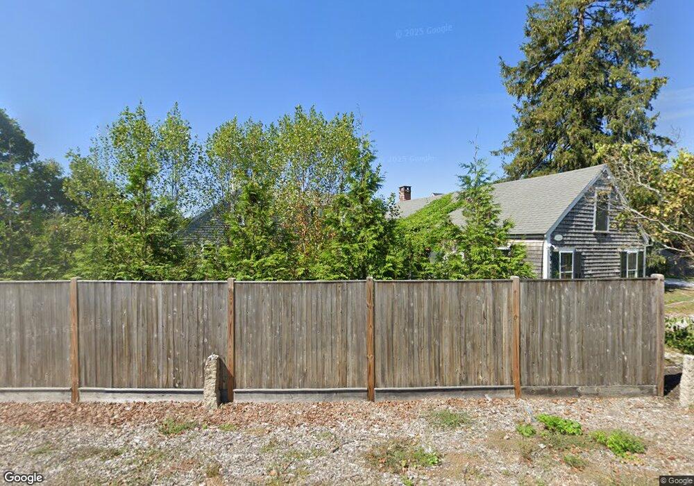
45 Country Way Scituate, MA 02066
Estimated Value: $772,736 - $903,000
3
Beds
1
Bath
1,867
Sq Ft
$446/Sq Ft
Est. Value
About This Home
This home is located at 45 Country Way, Scituate, MA 02066 and is currently estimated at $832,184, approximately $445 per square foot. 45 Country Way is a home located in Plymouth County with nearby schools including Jenkins Elementary School, Lester J. Gates Middle School, and Scituate High School.
Ownership History
Date
Name
Owned For
Owner Type
Purchase Details
Closed on
May 10, 2022
Sold by
Williams Todd S and Williams Joan B
Bought by
Williams Ft
Current Estimated Value
Purchase Details
Closed on
Aug 1, 1983
Bought by
Williams Todd S and Williams Joan B
Create a Home Valuation Report for This Property
The Home Valuation Report is an in-depth analysis detailing your home's value as well as a comparison with similar homes in the area
Home Values in the Area
Average Home Value in this Area
Purchase History
| Date | Buyer | Sale Price | Title Company |
|---|---|---|---|
| Williams Ft | -- | None Available | |
| Williams Todd S | $97,500 | -- |
Source: Public Records
Mortgage History
| Date | Status | Borrower | Loan Amount |
|---|---|---|---|
| Previous Owner | Williams Todd S | $175,000 | |
| Previous Owner | Williams Todd S | $130,000 | |
| Previous Owner | Williams Todd S | $45,000 | |
| Previous Owner | Williams Todd S | $45,000 |
Source: Public Records
Tax History Compared to Growth
Tax History
| Year | Tax Paid | Tax Assessment Tax Assessment Total Assessment is a certain percentage of the fair market value that is determined by local assessors to be the total taxable value of land and additions on the property. | Land | Improvement |
|---|---|---|---|---|
| 2025 | $6,709 | $671,600 | $379,300 | $292,300 |
| 2024 | $6,745 | $651,100 | $344,800 | $306,300 |
| 2023 | $5,259 | $472,200 | $295,100 | $177,100 |
| 2022 | $5,259 | $416,700 | $258,900 | $157,800 |
| 2021 | $5,247 | $393,600 | $246,600 | $147,000 |
| 2020 | $5,191 | $384,500 | $237,000 | $147,500 |
| 2019 | $5,206 | $378,900 | $232,400 | $146,500 |
| 2018 | $5,238 | $375,500 | $215,800 | $159,700 |
| 2017 | $4,953 | $351,500 | $191,800 | $159,700 |
| 2016 | $4,631 | $327,500 | $167,800 | $159,700 |
| 2015 | $4,290 | $327,500 | $167,800 | $159,700 |
Source: Public Records
Map
Nearby Homes
- 19 Ford Place Unit 3
- 19 Ford Place Unit 1
- 19 Ford Place Unit 4
- 12 Sassamon Rd
- 17 Old Oaken Bucket Rd
- 49 Cornet Stetson Rd
- 29 Ladds Way Unit 29
- 146 Chief Justice Cushing Hwy
- 9 Cushing Park Rd
- 48 Neal Gate St
- 16 Salt Meadow Ln
- 67 Greenfield Ln
- 59 Greenfield Ln
- 115 Elm St
- 111 Elm St
- 116 Old Forge Rd
- 12 Meeting House Ln Unit 308
- 50 First Parish Rd
- 76 A Brook St
- 76 A Brook St Unit 1
- 346 Cushing Rd
- 49 Country Way
- 46 Country Way
- 40 Country Way Unit 42
- 42 Country Way Unit 1
- 3 Drew Place Unit Lot 4
- 3 Drew Place
- 50 Country Way Unit 102A
- 50 Country Way Unit 202B
- 50 Country Way Unit 101
- 50 Country Way Unit C204
- 50 Country Way Unit 4
- 50 Country Way Unit 3
- 50 Country Way Unit 5b
- 50 Country Way Unit B201
- 50 Country Way Unit 1
- 50 Country Way
- 50 Country Way Unit C303
- 50 Country Way Unit 2
- 50 Country Way Unit B105