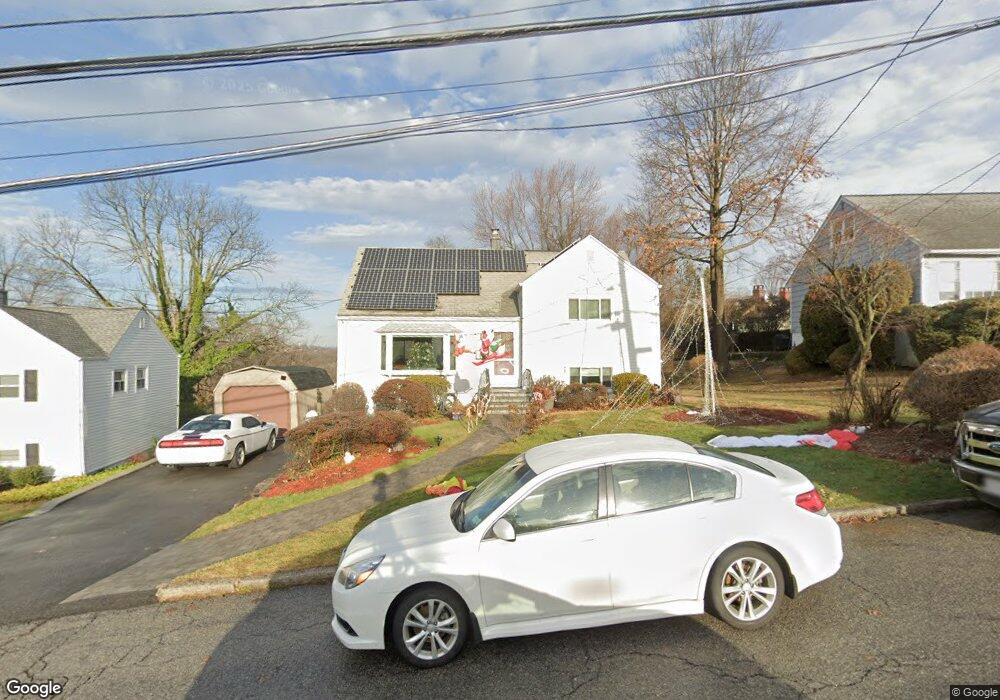
45 Dexter Rd Yonkers, NY 10710
Northeast Yonkers NeighborhoodEstimated Value: $757,000 - $836,000
3
Beds
2
Baths
1,780
Sq Ft
$450/Sq Ft
Est. Value
About This Home
This home is located at 45 Dexter Rd, Yonkers, NY 10710 and is currently estimated at $800,710, approximately $449 per square foot. 45 Dexter Rd is a home located in Westchester County with nearby schools including St. Eugene School.
Ownership History
Date
Name
Owned For
Owner Type
Purchase Details
Closed on
May 8, 2025
Sold by
Robinson Barbara W and Robinson Thomas R
Bought by
Robinson Thomas R and Robinson Eilish M
Current Estimated Value
Purchase Details
Closed on
May 30, 2007
Sold by
Robinson Richard J and Robinson Barbara W
Bought by
Robinson Barbara W and Robinson Thomas R
Purchase Details
Closed on
Apr 26, 2004
Sold by
Robinson Richard Joseph and Robinson Barbara W
Bought by
Robinson Richard J and Robinson Barbara W
Home Financials for this Owner
Home Financials are based on the most recent Mortgage that was taken out on this home.
Original Mortgage
$183,000
Interest Rate
6.2%
Mortgage Type
Purchase Money Mortgage
Create a Home Valuation Report for This Property
The Home Valuation Report is an in-depth analysis detailing your home's value as well as a comparison with similar homes in the area
Home Values in the Area
Average Home Value in this Area
Purchase History
| Date | Buyer | Sale Price | Title Company |
|---|---|---|---|
| Robinson Thomas R | -- | Record & Return Title | |
| Robinson Barbara W | -- | Chicago Title Insurance Co | |
| Robinson Richard J | -- | Chicago Title Insurance Co |
Source: Public Records
Mortgage History
| Date | Status | Borrower | Loan Amount |
|---|---|---|---|
| Previous Owner | Robinson Richard J | $183,000 |
Source: Public Records
Tax History Compared to Growth
Tax History
| Year | Tax Paid | Tax Assessment Tax Assessment Total Assessment is a certain percentage of the fair market value that is determined by local assessors to be the total taxable value of land and additions on the property. | Land | Improvement |
|---|---|---|---|---|
| 2024 | $1,741 | $11,500 | $4,200 | $7,300 |
| 2023 | $1,725 | $11,500 | $4,200 | $7,300 |
| 2022 | $1,696 | $11,500 | $4,200 | $7,300 |
| 2021 | $6,749 | $11,500 | $4,200 | $7,300 |
| 2020 | $6,559 | $11,500 | $4,200 | $7,300 |
| 2019 | $9,074 | $11,500 | $4,200 | $7,300 |
| 2018 | $6,007 | $11,500 | $4,200 | $7,300 |
| 2017 | -- | $11,500 | $4,200 | $7,300 |
| 2016 | $7,918 | $11,500 | $4,200 | $7,300 |
| 2015 | -- | $11,500 | $4,200 | $7,300 |
| 2014 | -- | $11,500 | $4,200 | $7,300 |
| 2013 | -- | $11,500 | $4,200 | $7,300 |
Source: Public Records
Map
Nearby Homes
- 11 Montclair Rd
- 142 Pembrook Dr
- 284 AKA 11 Tompkins Ave
- 54 Hazelton Rd
- 1841 Central Park Ave Unit 8E
- 1841 Central Park Ave Unit 4K
- 1853 Central Park Ave Unit 10C
- 1853 Central Park Ave Unit 9J
- 1853 Central Park Ave Unit 6A
- 156 Candlewood Dr
- 270 Pembrook Dr
- 1 Balint Dr
- 1 Balint Dr Unit 370
- 1 Balint Dr Unit 661
- 1 Balint Dr Unit 366
- 1 Balint Dr Unit 269
- 1 Balint Dr Unit 267
- 34 Helena Ave
- 7 Balint Dr Unit 228
- 7 Balint Dr Unit 427