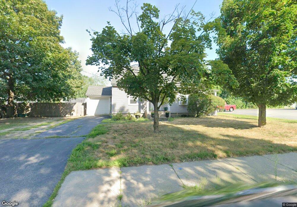
45 E Dunstable Rd Nashua, NH 03060
South End Nashua NeighborhoodEstimated Value: $432,525 - $479,000
3
Beds
1
Bath
1,131
Sq Ft
$407/Sq Ft
Est. Value
About This Home
This home is located at 45 E Dunstable Rd, Nashua, NH 03060 and is currently estimated at $460,131, approximately $406 per square foot. 45 E Dunstable Rd is a home located in Hillsborough County with nearby schools including Sunset Heights Elementary School, Elm Street Middle School, and Nashua High School North.
Ownership History
Date
Name
Owned For
Owner Type
Purchase Details
Closed on
Oct 30, 2020
Sold by
Lavey Francis and Lavey Donna
Bought by
F E & Donna L Lavet Ret and Lavey
Current Estimated Value
Purchase Details
Closed on
Aug 5, 1997
Sold by
Boucher Leonard J
Bought by
Noel Stephen E and Noel Susan
Home Financials for this Owner
Home Financials are based on the most recent Mortgage that was taken out on this home.
Original Mortgage
$80,000
Interest Rate
7.55%
Mortgage Type
Purchase Money Mortgage
Create a Home Valuation Report for This Property
The Home Valuation Report is an in-depth analysis detailing your home's value as well as a comparison with similar homes in the area
Home Values in the Area
Average Home Value in this Area
Purchase History
| Date | Buyer | Sale Price | Title Company |
|---|---|---|---|
| F E & Donna L Lavet Ret | -- | None Available | |
| Noel Stephen E | $80,000 | -- |
Source: Public Records
Mortgage History
| Date | Status | Borrower | Loan Amount |
|---|---|---|---|
| Previous Owner | Noel Stephen E | $80,000 |
Source: Public Records
Tax History
| Year | Tax Paid | Tax Assessment Tax Assessment Total Assessment is a certain percentage of the fair market value that is determined by local assessors to be the total taxable value of land and additions on the property. | Land | Improvement |
|---|---|---|---|---|
| 2025 | $7,178 | $426,500 | $160,400 | $266,100 |
| 2024 | $6,781 | $426,500 | $160,400 | $266,100 |
| 2023 | $6,353 | $348,500 | $128,300 | $220,200 |
| 2022 | $6,297 | $348,500 | $128,300 | $220,200 |
| 2021 | $5,452 | $234,800 | $85,500 | $149,300 |
| 2020 | $5,309 | $234,800 | $85,500 | $149,300 |
| 2019 | $5,109 | $234,800 | $85,500 | $149,300 |
| 2018 | $4,980 | $234,800 | $85,500 | $149,300 |
| 2017 | $7,008 | $172,300 | $73,200 | $99,100 |
| 2016 | $4,320 | $172,300 | $73,200 | $99,100 |
| 2015 | $4,227 | $172,300 | $73,200 | $99,100 |
| 2014 | $4,156 | $172,800 | $73,200 | $99,600 |
Source: Public Records
Map
Nearby Homes
- 25 E Dunstable Rd
- 6 Hayden St
- 8 Collier Ct
- 1 Thompson Rd Unit 109
- 23 Eastman St
- 397 S Main St
- 12 Oakdale Ave
- 21 Clearview Dr
- 16 Emerson Rd
- 6 Mountain View St
- 72 Linwood St
- 4 Nightingale Rd
- 362 Main St
- 3 Appaloosa Place
- 31 Lincoln Ave
- 20 Nightingale Rd
- 2 Doncaster Dr
- 22 Taschereau Blvd
- 17 1/2 Balcom St
- 25 Kern Dr Unit 25
- 47 E Dunstable Rd
- 18 Victor Ave
- 20 Victor Ave
- 16 Victor Ave
- 46 E Dunstable Rd
- 48 E Dunstable Rd
- 22 Victor Ave
- 49 E Dunstable Rd
- 44 E Dunstable Rd
- 14 Victor Ave
- 19 Victor Ave
- 41 E Dunstable Rd
- 50 E Dunstable Rd
- 6 Delta Dr
- 23 Victor Ave
- 17 Victor Ave
- 4 Delta Dr
- 42 E Dunstable Rd
- 97 Robinson Rd
- 12 Victor Ave
Your Personal Tour Guide
Ask me questions while you tour the home.