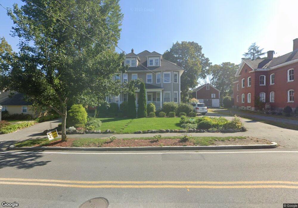
45 High St Unit 2 Andover, MA 01810
Shawsheen Heights NeighborhoodEstimated Value: $404,369 - $512,000
2
Beds
1
Bath
1,000
Sq Ft
$462/Sq Ft
Est. Value
About This Home
This home is located at 45 High St Unit 2, Andover, MA 01810 and is currently estimated at $462,092, approximately $462 per square foot. 45 High St Unit 2 is a home located in Essex County with nearby schools including West Elementary School, Doherty Middle School, and Andover High School.
Ownership History
Date
Name
Owned For
Owner Type
Purchase Details
Closed on
May 29, 2008
Sold by
Lambert Anne Helena
Bought by
Stevenson Sheila A
Current Estimated Value
Home Financials for this Owner
Home Financials are based on the most recent Mortgage that was taken out on this home.
Original Mortgage
$149,900
Outstanding Balance
$95,500
Interest Rate
5.91%
Mortgage Type
Purchase Money Mortgage
Estimated Equity
$366,592
Purchase Details
Closed on
Dec 1, 2005
Sold by
Galiney J Bradford J and Galiney Yuthica
Bought by
Lambert Anne Helena
Home Financials for this Owner
Home Financials are based on the most recent Mortgage that was taken out on this home.
Original Mortgage
$200,000
Interest Rate
6.14%
Mortgage Type
Purchase Money Mortgage
Create a Home Valuation Report for This Property
The Home Valuation Report is an in-depth analysis detailing your home's value as well as a comparison with similar homes in the area
Home Values in the Area
Average Home Value in this Area
Purchase History
| Date | Buyer | Sale Price | Title Company |
|---|---|---|---|
| Stevenson Sheila A | $249,900 | -- | |
| Lambert Anne Helena | $270,000 | -- |
Source: Public Records
Mortgage History
| Date | Status | Borrower | Loan Amount |
|---|---|---|---|
| Open | Stevenson Sheila A | $149,900 | |
| Previous Owner | Lambert Anne Helena | $200,000 |
Source: Public Records
Tax History
| Year | Tax Paid | Tax Assessment Tax Assessment Total Assessment is a certain percentage of the fair market value that is determined by local assessors to be the total taxable value of land and additions on the property. | Land | Improvement |
|---|---|---|---|---|
| 2024 | $5,066 | $393,300 | $0 | $393,300 |
| 2023 | $4,857 | $355,600 | $0 | $355,600 |
| 2022 | $4,805 | $329,100 | $0 | $329,100 |
| 2021 | $4,960 | $324,400 | $0 | $324,400 |
| 2020 | $4,517 | $300,900 | $0 | $300,900 |
| 2019 | $4,405 | $288,500 | $0 | $288,500 |
| 2018 | $4,192 | $268,000 | $0 | $268,000 |
| 2017 | $3,901 | $257,000 | $0 | $257,000 |
| 2016 | $3,738 | $252,200 | $0 | $252,200 |
| 2015 | $3,540 | $236,500 | $0 | $236,500 |
Source: Public Records
Map
Nearby Homes
- 1 Sweeney Ct
- 5 Lewis St
- Lot 7 Weeping Willow Dr
- 2 Powder Mill Square Unit 2B
- 33 Chestnut St Unit 2
- 11 Cuba St
- 96 N Main St Unit 3
- 100.5 Main St Unit Q
- 181 High St Unit 1
- 3 Torr St
- 16 Balmoral St Unit 214
- 1 Longwood Dr Unit 105
- 1 Longwood Dr Unit 5
- 105 Central St
- 42 York St
- 30 Canterbury St
- 170 Haverhill St Unit 138
- 28 Stirling St
- 15 Alcott Way
- 40 Chandler Cir
- 45 High St Unit 3
- 45-47 High St
- 47 High St Unit 1
- 53 High St
- 53 High St Unit St
- 43 High St
- 39 High St
- 44 High St Unit 3
- 46 High St Unit 2
- 44 High St Unit 1
- 44 R High St Unit 3
- 46 High St
- 44 High St Unit 1,44
- 48 High St
- 48 High St Unit 48
- 48 High St Unit 14,7
- 50 High St
- 50 High St Unit 50
- 37 High St
- 37 High St Unit 2
Your Personal Tour Guide
Ask me questions while you tour the home.