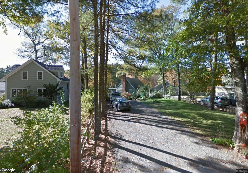
45 Leland Rd Norfolk, MA 02056
Estimated Value: $394,000 - $496,634
2
Beds
1
Bath
738
Sq Ft
$616/Sq Ft
Est. Value
About This Home
This home is located at 45 Leland Rd, Norfolk, MA 02056 and is currently estimated at $454,909, approximately $616 per square foot. 45 Leland Rd is a home located in Norfolk County with nearby schools including H. Olive Day School, Freeman-Kennedy School, and Woodside Montessori Academy.
Ownership History
Date
Name
Owned For
Owner Type
Purchase Details
Closed on
Nov 2, 2004
Sold by
Ellis Francis W and Ellis Mary A
Bought by
Brogan Patrick F
Current Estimated Value
Home Financials for this Owner
Home Financials are based on the most recent Mortgage that was taken out on this home.
Original Mortgage
$135,000
Outstanding Balance
$67,190
Interest Rate
5.74%
Mortgage Type
Purchase Money Mortgage
Estimated Equity
$387,719
Create a Home Valuation Report for This Property
The Home Valuation Report is an in-depth analysis detailing your home's value as well as a comparison with similar homes in the area
Home Values in the Area
Average Home Value in this Area
Purchase History
| Date | Buyer | Sale Price | Title Company |
|---|---|---|---|
| Brogan Patrick F | $150,000 | -- |
Source: Public Records
Mortgage History
| Date | Status | Borrower | Loan Amount |
|---|---|---|---|
| Open | Brogan Patrick F | $135,000 |
Source: Public Records
Tax History Compared to Growth
Tax History
| Year | Tax Paid | Tax Assessment Tax Assessment Total Assessment is a certain percentage of the fair market value that is determined by local assessors to be the total taxable value of land and additions on the property. | Land | Improvement |
|---|---|---|---|---|
| 2025 | $6,904 | $432,300 | $299,200 | $133,100 |
| 2024 | $6,124 | $393,300 | $267,700 | $125,600 |
| 2023 | $5,445 | $331,800 | $233,000 | $98,800 |
| 2022 | $4,852 | $266,600 | $181,900 | $84,700 |
| 2021 | $4,744 | $263,700 | $179,000 | $84,700 |
| 2020 | $3,827 | $205,300 | $130,200 | $75,100 |
| 2019 | $3,806 | $208,100 | $130,200 | $77,900 |
| 2018 | $3,743 | $201,000 | $130,200 | $70,800 |
| 2017 | $3,686 | $202,300 | $130,200 | $72,100 |
| 2016 | $3,607 | $199,500 | $130,200 | $69,300 |
| 2015 | $4,171 | $236,200 | $167,400 | $68,800 |
| 2014 | $4,136 | $237,300 | $167,400 | $69,900 |
Source: Public Records
Map
Nearby Homes
- 99 Leland Rd
- 10 Populatic Street Extension
- 311 Eagles Nest Way Unit 311
- 312 Eagles Nest Way Unit 312
- 10 Macarthur Ave
- 12 Ariana Ln
- 19 Mulberry Ln
- 98 Myrtle St
- 37 Daniels St
- 33 Daniels St
- 41 Myrtle St
- 48 Leanne Way Unit 48
- 83 Oliver Pond Cir Unit 7
- 91 Oliver Pond Cir Unit 3
- 28 Myrtle St
- 229 Bent St
- 425 Village St
- 1 Granite Dr
- 732 Lincoln St
- 17 Farm St