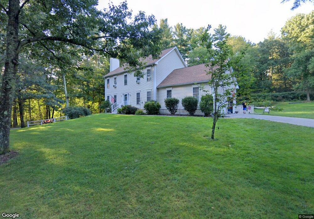
45 Leland St Grafton, MA 01519
Estimated Value: $664,000 - $722,000
4
Beds
3
Baths
2,240
Sq Ft
$309/Sq Ft
Est. Value
About This Home
This home is located at 45 Leland St, Grafton, MA 01519 and is currently estimated at $692,299, approximately $309 per square foot. 45 Leland St is a home located in Worcester County with nearby schools including Grafton High School, Touchstone Community School, and Silver Spruce Montessori School.
Ownership History
Date
Name
Owned For
Owner Type
Purchase Details
Closed on
Jan 8, 1997
Sold by
Hazzard Edmund and Lowell David B
Bought by
Walker Jack Z and Kadra Laurie A
Current Estimated Value
Home Financials for this Owner
Home Financials are based on the most recent Mortgage that was taken out on this home.
Original Mortgage
$22,400
Interest Rate
7.46%
Mortgage Type
Purchase Money Mortgage
Create a Home Valuation Report for This Property
The Home Valuation Report is an in-depth analysis detailing your home's value as well as a comparison with similar homes in the area
Home Values in the Area
Average Home Value in this Area
Purchase History
| Date | Buyer | Sale Price | Title Company |
|---|---|---|---|
| Walker Jack Z | $32,000 | -- |
Source: Public Records
Mortgage History
| Date | Status | Borrower | Loan Amount |
|---|---|---|---|
| Open | Walker Jack Z | $172,625 | |
| Closed | Walker Jack Z | $200,000 | |
| Closed | Walker Jack Z | $182,400 | |
| Closed | Walker Jack Z | $22,400 |
Source: Public Records
Tax History Compared to Growth
Tax History
| Year | Tax Paid | Tax Assessment Tax Assessment Total Assessment is a certain percentage of the fair market value that is determined by local assessors to be the total taxable value of land and additions on the property. | Land | Improvement |
|---|---|---|---|---|
| 2025 | $7,776 | $557,800 | $166,900 | $390,900 |
| 2024 | $7,619 | $532,400 | $158,900 | $373,500 |
| 2023 | $7,060 | $449,400 | $158,900 | $290,500 |
| 2022 | $6,600 | $391,000 | $136,500 | $254,500 |
| 2021 | $6,499 | $378,300 | $124,200 | $254,100 |
| 2020 | $6,201 | $375,800 | $124,200 | $251,600 |
| 2019 | $6,499 | $390,100 | $142,900 | $247,200 |
| 2018 | $6,445 | $388,500 | $141,400 | $247,100 |
| 2017 | $5,760 | $351,200 | $104,100 | $247,100 |
| 2016 | $6,097 | $364,000 | $132,600 | $231,400 |
| 2015 | $6,115 | $370,600 | $132,600 | $238,000 |
| 2014 | $5,446 | $356,900 | $132,600 | $224,300 |
Source: Public Records
Map
Nearby Homes
- 18 Leland St
- 26 Fowler St
- 17 Old Grafton Rd
- 58 Buttercup Ln
- 11 W Main St
- 61 Tulip Cir
- 89 Buttercup Ln Unit 255
- 1 Jonathans Way
- 168 Upton St Unit 12
- 54 Rockwood Ln Unit 54
- 23 Rockwood Ln Unit 23
- 19 Milford Rd
- 12 Breton Rd
- 395 Providence Rd Unit 4
- 46 Hartford Ave N
- 15 Shoemaker Ln Unit 7
- 24 Summerfield Dr Unit 24
- 2 Lindsey Ln Unit 2
- 86 Mikes Way Unit 86
- 84 Mikes Way Unit 84