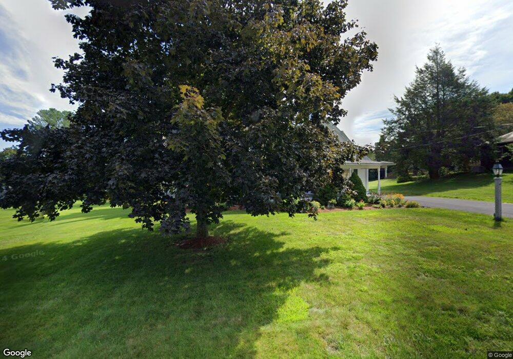
45 Maple St West Boylston, MA 01583
Estimated Value: $584,000 - $802,000
4
Beds
4
Baths
2,780
Sq Ft
$250/Sq Ft
Est. Value
About This Home
This home is located at 45 Maple St, West Boylston, MA 01583 and is currently estimated at $695,689, approximately $250 per square foot. 45 Maple St is a home located in Worcester County with nearby schools including Major Edwards Elementary School, West Boylston Junior/Senior High School, and Abby Kelley Foster Charter Public School.
Ownership History
Date
Name
Owned For
Owner Type
Purchase Details
Closed on
Nov 6, 1998
Sold by
Makela Joyce and Valois Lynn M
Bought by
Ramstrom Richard B and Ramstrom Maureen E
Current Estimated Value
Purchase Details
Closed on
Sep 15, 1989
Sold by
Rawson Gladys
Bought by
Ramstrom Richard
Create a Home Valuation Report for This Property
The Home Valuation Report is an in-depth analysis detailing your home's value as well as a comparison with similar homes in the area
Home Values in the Area
Average Home Value in this Area
Purchase History
| Date | Buyer | Sale Price | Title Company |
|---|---|---|---|
| Ramstrom Richard B | $15,000 | -- | |
| Ramstrom Richard | $153,000 | -- |
Source: Public Records
Mortgage History
| Date | Status | Borrower | Loan Amount |
|---|---|---|---|
| Open | Ramstrom Richard | $135,000 | |
| Closed | Ramstrom Richard | $170,000 | |
| Closed | Ramstrom Richard | $100,000 |
Source: Public Records
Tax History Compared to Growth
Tax History
| Year | Tax Paid | Tax Assessment Tax Assessment Total Assessment is a certain percentage of the fair market value that is determined by local assessors to be the total taxable value of land and additions on the property. | Land | Improvement |
|---|---|---|---|---|
| 2025 | $101 | $731,500 | $140,900 | $590,600 |
| 2024 | $9,543 | $645,700 | $143,100 | $502,600 |
| 2023 | $10,027 | $643,600 | $140,900 | $502,700 |
| 2022 | $9,077 | $513,400 | $140,900 | $372,500 |
| 2021 | $4,596 | $480,500 | $118,200 | $362,300 |
| 2020 | $8,251 | $444,100 | $118,200 | $325,900 |
| 2019 | $7,742 | $410,700 | $118,200 | $292,500 |
| 2018 | $7,372 | $393,800 | $118,200 | $275,600 |
| 2017 | $7,324 | $389,600 | $118,200 | $271,400 |
| 2016 | $6,395 | $346,600 | $110,800 | $235,800 |
| 2015 | $5,995 | $326,900 | $110,000 | $216,900 |
Source: Public Records
Map
Nearby Homes
- 54 Maple St
- 39 Davidson Rd
- 1 Highland Ave
- 12 Birchbrush Ln
- 1 Juneberry Ln Unit 82
- 740 Burncoat St Unit B
- 156 Hillside Village Dr
- 33 Isleboro St
- 29 Isleboro St
- 20 Winthrop St
- 1110 W Boylston St Unit A
- 71 Hillside Village Dr
- 535 Prospect St
- 23 Orono St
- 15 Cumberland St
- 10 Beale St
- 136 Sterling St Unit A3
- 22 Danielles Way
- 26 Danielles Way
- 31 Danielles Way