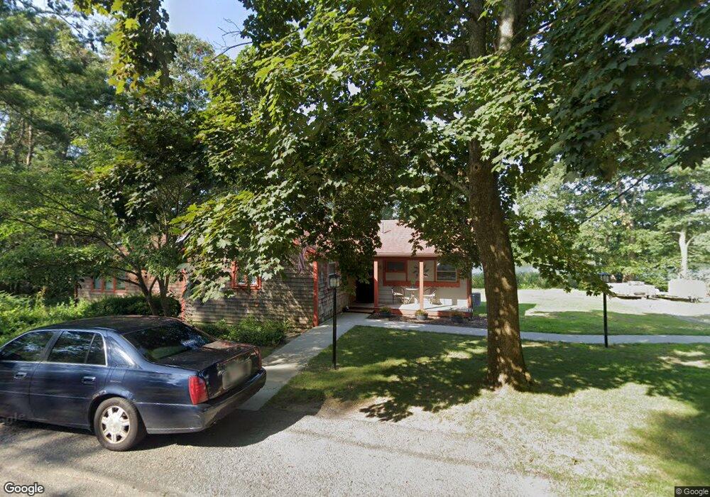
45 Mayflower Ridge (Waterfront) Wareham, MA 02571
Estimated Value: $461,000 - $515,000
3
Beds
1
Bath
1,275
Sq Ft
$381/Sq Ft
Est. Value
About This Home
This home is located at 45 Mayflower Ridge (Waterfront), Wareham, MA 02571 and is currently estimated at $485,593, approximately $380 per square foot. 45 Mayflower Ridge (Waterfront) is a home located in Plymouth County.
Ownership History
Date
Name
Owned For
Owner Type
Purchase Details
Closed on
Oct 1, 2012
Sold by
Martenson Dorothy L Es and Martenson Woolf
Bought by
Gorman Dale J and Gorman Linda S
Current Estimated Value
Home Financials for this Owner
Home Financials are based on the most recent Mortgage that was taken out on this home.
Original Mortgage
$149,175
Interest Rate
3.62%
Mortgage Type
New Conventional
Create a Home Valuation Report for This Property
The Home Valuation Report is an in-depth analysis detailing your home's value as well as a comparison with similar homes in the area
Purchase History
| Date | Buyer | Sale Price | Title Company |
|---|---|---|---|
| Gorman Dale J | $198,900 | -- | |
| Gorman Dale J | $198,900 | -- |
Source: Public Records
Mortgage History
| Date | Status | Borrower | Loan Amount |
|---|---|---|---|
| Previous Owner | Gorman Dale J | $149,175 | |
| Previous Owner | Gorman Dale J | $55,000 |
Source: Public Records
Tax History
| Year | Tax Paid | Tax Assessment Tax Assessment Total Assessment is a certain percentage of the fair market value that is determined by local assessors to be the total taxable value of land and additions on the property. | Land | Improvement |
|---|---|---|---|---|
| 2025 | $4,451 | $427,200 | $144,000 | $283,200 |
| 2024 | $4,548 | $405,000 | $114,000 | $291,000 |
| 2023 | $4,099 | $362,300 | $103,400 | $258,900 |
| 2022 | $4,099 | $311,000 | $103,400 | $207,600 |
| 2021 | $4,054 | $301,400 | $103,400 | $198,000 |
| 2020 | $3,784 | $285,400 | $103,400 | $182,000 |
| 2019 | $3,720 | $279,900 | $104,100 | $175,800 |
| 2018 | $3,514 | $257,800 | $104,100 | $153,700 |
| 2017 | $3,255 | $242,000 | $104,100 | $137,900 |
| 2016 | $3,019 | $223,100 | $104,100 | $119,000 |
| 2015 | $2,916 | $223,100 | $104,100 | $119,000 |
| 2014 | $2,738 | $213,100 | $104,100 | $109,000 |
Source: Public Records
Map
Nearby Homes
- 110 Mayflower Ridge Dr
- 437 Main St
- 2645 Cranberry Hwy Unit A
- 12 Oakdale St
- 10 Longmeadow Dr
- 6 Bourne Terrace
- 2697 Cranberry Hwy Unit 21
- 2711 Cranberry Hwy
- 10 Oak St
- 233 Marion Rd
- 1 Nimrod Way
- 7 Maud Palmer Dr
- 2743 Cranberry Hwy Unit 5D
- 156 Sandwich Rd
- 15 Broadmarsh Ave
- 6 Allen Ave
- 20 Grant St
- 43 Shore Ave
- 9 Woodville Way
- 15 14th Ave
- 45 Mayflower Ridge Dr
- 45 & 43 Mayflower Ridge Dr
- 48 Mayflower Ridge Dr
- 50 Mayflower Ridge Dr
- 43 Mayflower Ridge Dr Unit 45
- 43 Mayflower Ave
- 44 Mayflower Ridge Dr
- 44 Mayflower Ridge Dr
- 44 Mayflower Ridge Dr Unit 1
- 47 Mayflower Ridge Dr
- 52 Mayflower Ridge Dr
- 108 Mayflower Ridge Dr
- 33 Mayflower Ridge Dr
- 33 Mayflower Ridge Dr Unit WINTER
- 33 Mayflower Ridge Dr
- 114 Mayflower Ridge Dr
- 33 Mayflower Ridge Dr (Winter) Unit 1
- 33 Mayflower Ridge Dr (Winter)
- 104 Mayflower Ridge Dr
- 53 Mayflower Ridge Dr
Your Personal Tour Guide
Ask me questions while you tour the home.