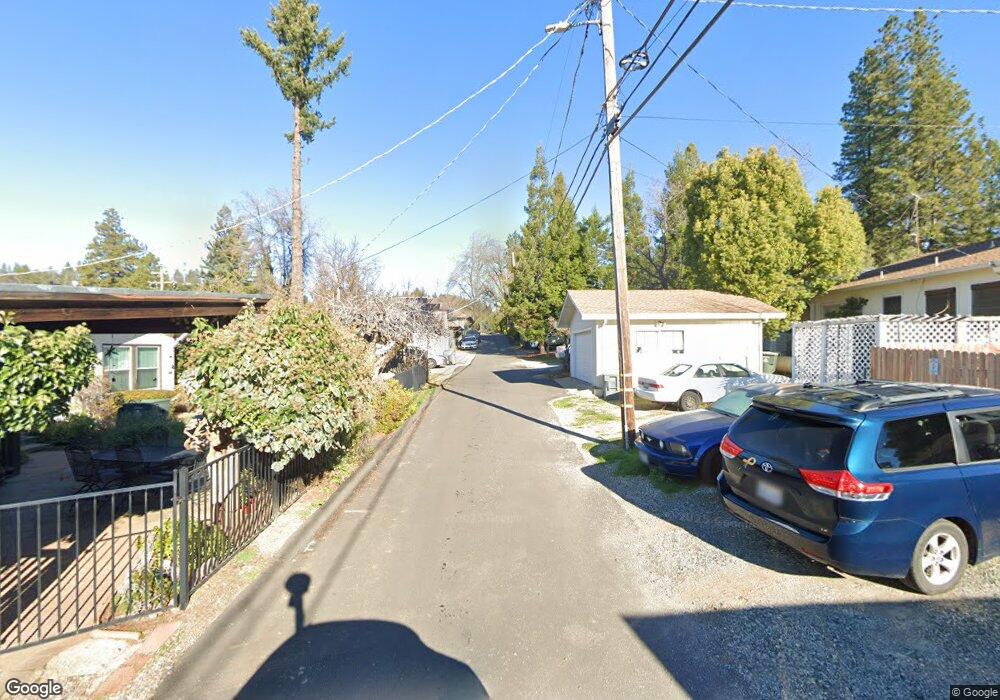
45 N Northstar Ave Colfax, CA 95713
Estimated Value: $342,000 - $410,782
4
Beds
2
Baths
1,614
Sq Ft
$240/Sq Ft
Est. Value
About This Home
This home is located at 45 N Northstar Ave, Colfax, CA 95713 and is currently estimated at $386,927, approximately $239 per square foot. 45 N Northstar Ave is a home located in Placer County with nearby schools including Colfax Elementary School, Colfax High School, and Chicago Park Community Charter School.
Ownership History
Date
Name
Owned For
Owner Type
Purchase Details
Closed on
Jun 12, 2019
Sold by
Strand Mikael D and Strand Mikael
Bought by
Strand Mikael D and Strand Danielle L
Current Estimated Value
Home Financials for this Owner
Home Financials are based on the most recent Mortgage that was taken out on this home.
Original Mortgage
$165,000
Outstanding Balance
$124,737
Interest Rate
4.1%
Mortgage Type
New Conventional
Estimated Equity
$262,190
Purchase Details
Closed on
Nov 27, 2012
Sold by
Fannie Mae
Bought by
Strand Mikael
Home Financials for this Owner
Home Financials are based on the most recent Mortgage that was taken out on this home.
Original Mortgage
$129,817
Interest Rate
3.33%
Mortgage Type
FHA
Purchase Details
Closed on
Oct 29, 2012
Sold by
Strand Danielle Lee
Bought by
Strand Mikael D
Home Financials for this Owner
Home Financials are based on the most recent Mortgage that was taken out on this home.
Original Mortgage
$129,817
Interest Rate
3.33%
Mortgage Type
FHA
Purchase Details
Closed on
Aug 25, 2011
Sold by
Gargan James
Bought by
Federal National Mortgage Association
Purchase Details
Closed on
Oct 7, 2003
Sold by
Gargan James
Bought by
Gargan James and Gargan Stephanie D
Purchase Details
Closed on
Nov 12, 2002
Sold by
Paxton Hugh and Paxton Cynthia
Bought by
Gargan James
Home Financials for this Owner
Home Financials are based on the most recent Mortgage that was taken out on this home.
Original Mortgage
$162,150
Interest Rate
5.89%
Mortgage Type
Purchase Money Mortgage
Purchase Details
Closed on
Jul 12, 1999
Sold by
Gill Robert F and Gill June E E
Bought by
Paxton Hugh B and Paxton Cynthia M
Home Financials for this Owner
Home Financials are based on the most recent Mortgage that was taken out on this home.
Original Mortgage
$134,102
Interest Rate
7.64%
Mortgage Type
FHA
Create a Home Valuation Report for This Property
The Home Valuation Report is an in-depth analysis detailing your home's value as well as a comparison with similar homes in the area
Home Values in the Area
Average Home Value in this Area
Purchase History
| Date | Buyer | Sale Price | Title Company |
|---|---|---|---|
| Strand Mikael D | -- | Old Republic Title Company | |
| Strand Mikael | $95,000 | First American Title Company | |
| Strand Mikael D | -- | First American Title Company | |
| Federal National Mortgage Association | $174,871 | Accommodation | |
| Gargan James | -- | Old Republic Title | |
| Gargan James | $203,000 | Old Republic Title Company | |
| Gargan James | -- | Old Republic Title Company | |
| Paxton Hugh B | $135,000 | Placer Title Company |
Source: Public Records
Mortgage History
| Date | Status | Borrower | Loan Amount |
|---|---|---|---|
| Open | Strand Mikael D | $165,000 | |
| Closed | Strand Mikael | $129,817 | |
| Previous Owner | Gargan James | $162,150 | |
| Previous Owner | Paxton Hugh B | $134,102 | |
| Closed | Paxton Hugh B | $6,750 | |
| Closed | Gargan James | $20,200 |
Source: Public Records
Tax History
| Year | Tax Paid | Tax Assessment Tax Assessment Total Assessment is a certain percentage of the fair market value that is determined by local assessors to be the total taxable value of land and additions on the property. | Land | Improvement |
|---|---|---|---|---|
| 2025 | $1,222 | $116,972 | $30,779 | $86,193 |
| 2023 | $1,222 | $112,432 | $29,585 | $82,847 |
| 2022 | $1,182 | $110,228 | $29,005 | $81,223 |
| 2021 | $1,157 | $108,068 | $28,437 | $79,631 |
| 2020 | $1,143 | $106,961 | $28,146 | $78,815 |
| 2019 | $1,121 | $104,865 | $27,595 | $77,270 |
| 2018 | $2,874 | $102,809 | $27,054 | $75,755 |
| 2017 | $4,644 | $100,794 | $26,524 | $74,270 |
| 2016 | $4,571 | $98,818 | $26,004 | $72,814 |
| 2015 | $4,497 | $97,335 | $25,614 | $71,721 |
| 2014 | $2,643 | $95,430 | $25,113 | $70,317 |
Source: Public Records
Map
Nearby Homes
- 0 Kneeland St Unit 225109849
- 102 Shadow Wood Place
- 24580 View Cape Horn Ave
- 24275 Grand View Ave
- 30 Lincoln St
- 320 Pleasant St
- 15 Sunset Ave
- 333 Pine St
- 24980 N Canyon Way
- 24005 Fowler Ave
- 155 Whitcomb Ave
- 508 Chase Ct
- 416 Rubicon Ct
- 895 Sunray Ln
- 23870 Tokayana Way
- 620 Schroeder Ln
- 1384 Oak Ridge Dr
- 1333 California 174
- 1836 Canyon Way
- 7-Acres Canyon Way
- 33 N Northstar Ave
- 33 N Star Ave
- 32 N Star Ave
- 44 S Forest Hill St
- 120 E Church St
- 24 N Star Ave
- 58 S Forest Hill St
- 34 S Forest Hill St
- 24 S North Star Ave
- 151 W Church St
- 151 E Church St
- 22 S Forest Hill St
- 102 S Forest Hill St
- 211 Marvin Ave
- 241 Marvin Way
- 201 Marvin Way
- 201 Marvin Ave
- 110 S Forest Hill St
- 120 Foresthill Ave
- 120 Foresthill Ave
Your Personal Tour Guide
Ask me questions while you tour the home.