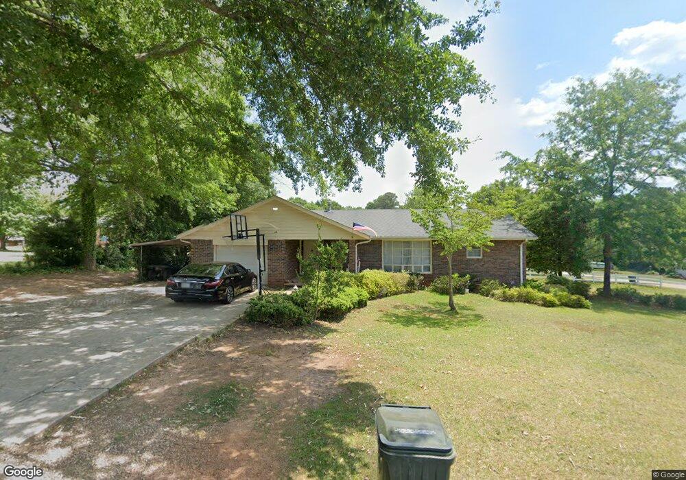
45 Nancy St Toccoa, GA 30577
Estimated Value: $244,000 - $292,000
3
Beds
2
Baths
1,905
Sq Ft
$137/Sq Ft
Est. Value
About This Home
This home is located at 45 Nancy St, Toccoa, GA 30577 and is currently estimated at $260,537, approximately $136 per square foot. 45 Nancy St is a home located in Stephens County with nearby schools including Stephens County High School.
Ownership History
Date
Name
Owned For
Owner Type
Purchase Details
Closed on
Jun 8, 2020
Sold by
Fulbright Paul Dennis
Bought by
Katz Alyssa R
Current Estimated Value
Home Financials for this Owner
Home Financials are based on the most recent Mortgage that was taken out on this home.
Original Mortgage
$147,283
Outstanding Balance
$129,977
Interest Rate
3.2%
Mortgage Type
FHA
Estimated Equity
$130,560
Purchase Details
Closed on
Dec 1, 1998
Bought by
<Buyer Info Not Present>
Purchase Details
Closed on
Mar 1, 1998
Bought by
Fulbright Ruby N
Create a Home Valuation Report for This Property
The Home Valuation Report is an in-depth analysis detailing your home's value as well as a comparison with similar homes in the area
Purchase History
| Date | Buyer | Sale Price | Title Company |
|---|---|---|---|
| Katz Alyssa R | $150,000 | -- | |
| <Buyer Info Not Present> | -- | -- | |
| Fulbright Ruby N | $82,000 | -- |
Source: Public Records
Mortgage History
| Date | Status | Borrower | Loan Amount |
|---|---|---|---|
| Open | Katz Alyssa R | $147,283 |
Source: Public Records
Tax History
| Year | Tax Paid | Tax Assessment Tax Assessment Total Assessment is a certain percentage of the fair market value that is determined by local assessors to be the total taxable value of land and additions on the property. | Land | Improvement |
|---|---|---|---|---|
| 2025 | $2,860 | $96,325 | $2,711 | $93,614 |
| 2024 | $2,236 | $62,733 | $2,711 | $60,022 |
| 2023 | $2,058 | $58,189 | $2,711 | $55,478 |
| 2022 | $1,652 | $55,496 | $2,711 | $52,785 |
| 2021 | $1,603 | $51,255 | $2,711 | $48,544 |
| 2020 | $1,233 | $39,034 | $2,711 | $36,323 |
| 2019 | $1,238 | $39,034 | $2,711 | $36,323 |
| 2018 | $98 | $39,034 | $2,711 | $36,323 |
| 2017 | $100 | $39,034 | $2,711 | $36,323 |
| 2016 | $101 | $39,034 | $2,711 | $36,323 |
| 2015 | $115 | $39,271 | $2,711 | $36,560 |
| 2014 | $116 | $39,271 | $2,711 | $36,560 |
| 2013 | -- | $39,271 | $2,711 | $36,560 |
Source: Public Records
Map
Nearby Homes
- 0 Stephen Dr Unit 10662201
- 43 Sycamore Dr
- 122 King St
- 926 Skyline Dr
- 229 Hilltop Ln
- 253 Stancil Dr
- 372 Hilltop Way
- 0 Valley Dr Unit 7675761
- 0 Valley Dr Unit 10600268
- 820 Collier Rd
- 475 Hilltop Way
- 189 Julia Ln
- 27 Hilltop Ln
- 526 Poplar St
- 481 Collins Rd
- 59 Sunset Ln
- 321 Quail Forest Cir
- 9 Poplar St
- 110 Valley Rd
- 0 Hwy 17 Alt Unit 10577119
Your Personal Tour Guide
Ask me questions while you tour the home.