45 Old Nugent Farm Rd Gloucester, MA 01930
East Gloucester NeighborhoodEstimated Value: $940,005 - $992,000
3
Beds
3
Baths
1,750
Sq Ft
$549/Sq Ft
Est. Value
About This Home
This home is located at 45 Old Nugent Farm Rd, Gloucester, MA 01930 and is currently estimated at $960,751, approximately $549 per square foot. 45 Old Nugent Farm Rd is a home located in Essex County with nearby schools including East Gloucester Elementary School, Ralph B O'maley Middle School, and Gloucester High School.
Ownership History
Date
Name
Owned For
Owner Type
Purchase Details
Closed on
Mar 24, 2025
Sold by
German Crews L and German Katherine L
Bought by
Katherine L German T-2007 L and Katherine German
Current Estimated Value
Purchase Details
Closed on
Jun 14, 1991
Sold by
Faso Joseph C
Bought by
German Katherine L
Home Financials for this Owner
Home Financials are based on the most recent Mortgage that was taken out on this home.
Original Mortgage
$100,000
Interest Rate
9.39%
Mortgage Type
Purchase Money Mortgage
Create a Home Valuation Report for This Property
The Home Valuation Report is an in-depth analysis detailing your home's value as well as a comparison with similar homes in the area
Home Values in the Area
Average Home Value in this Area
Purchase History
| Date | Buyer | Sale Price | Title Company |
|---|---|---|---|
| Katherine L German T-2007 L | -- | None Available | |
| Katherine L German T-2007 L | -- | None Available | |
| Katherine L German T-2007 L | -- | None Available | |
| German Katherine L | $190,000 | -- | |
| German Katherine L | $190,000 | -- |
Source: Public Records
Mortgage History
| Date | Status | Borrower | Loan Amount |
|---|---|---|---|
| Previous Owner | German Katherine L | $74,337 | |
| Previous Owner | German Katherine L | $88,600 | |
| Previous Owner | German Katherine L | $100,000 |
Source: Public Records
Tax History Compared to Growth
Tax History
| Year | Tax Paid | Tax Assessment Tax Assessment Total Assessment is a certain percentage of the fair market value that is determined by local assessors to be the total taxable value of land and additions on the property. | Land | Improvement |
|---|---|---|---|---|
| 2025 | $7,385 | $759,800 | $0 | $759,800 |
| 2024 | $7,656 | $786,800 | $0 | $786,800 |
| 2023 | $7,354 | $694,400 | $0 | $694,400 |
| 2022 | $7,388 | $629,800 | $0 | $629,800 |
| 2021 | $7,374 | $592,800 | $0 | $592,800 |
| 2020 | $7,396 | $599,800 | $0 | $599,800 |
| 2019 | $7,057 | $556,100 | $0 | $556,100 |
| 2018 | $7,061 | $546,100 | $0 | $546,100 |
| 2017 | $7,042 | $533,900 | $0 | $533,900 |
| 2016 | $6,696 | $492,000 | $0 | $492,000 |
| 2015 | $6,710 | $491,600 | $0 | $491,600 |
Source: Public Records
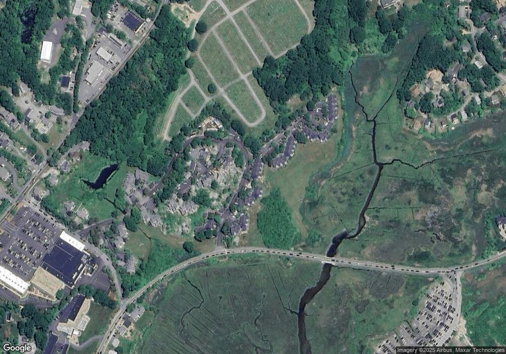
Map
Nearby Homes
- 8 Barn Ln
- 26 Marina Dr
- 29 Harrison Ave
- 10 Amero Ct
- 20 Haskell St
- 9 Rocky Pasture Rd
- 86 E Main St
- 97 E Main St
- 100 E Main St
- 20 Calder St
- 22 Taylor St Unit 1
- 30 Chapel St Unit B
- 160 Prospect St Unit 3
- 4 Mount Vernon St
- 197 E Main St
- 197 E Main St Unit 1
- 197 E Main St Unit 2
- 197 E Main St Unit 1 & 2
- 36 Links Rd
- 40 Sargent St
- 47 Old Nugent Farm Rd
- 46 Old Nugent Farm Rd
- 44 Old Nugent Farm Rd
- 47 Old Nugent Farm Rd Unit 47
- 51 Old Nugent Farm Rd
- 50 Old Nugent Farm Rd
- 49 Old Nugent Farm Rd
- 48 Old Nugent Farm Rd
- 25 Old Nugent Farm Rd
- 24 Old Nugent Farm Rd
- 23 Old Nugent Farm Rd
- 62 Old Nugent Farm Rd
- 61 Old Nugent Farm Rd
- 60 Old Nugent Farm Rd
- 59 Old Nugent Farm Rd
- 58 Old Nugent Farm Rd
- 56 Old Nugent Farm Rd
- 55 Old Nugent Farm Rd
- 54 Old Nugent Farm Rd
- 53 Old Nugent Farm Rd